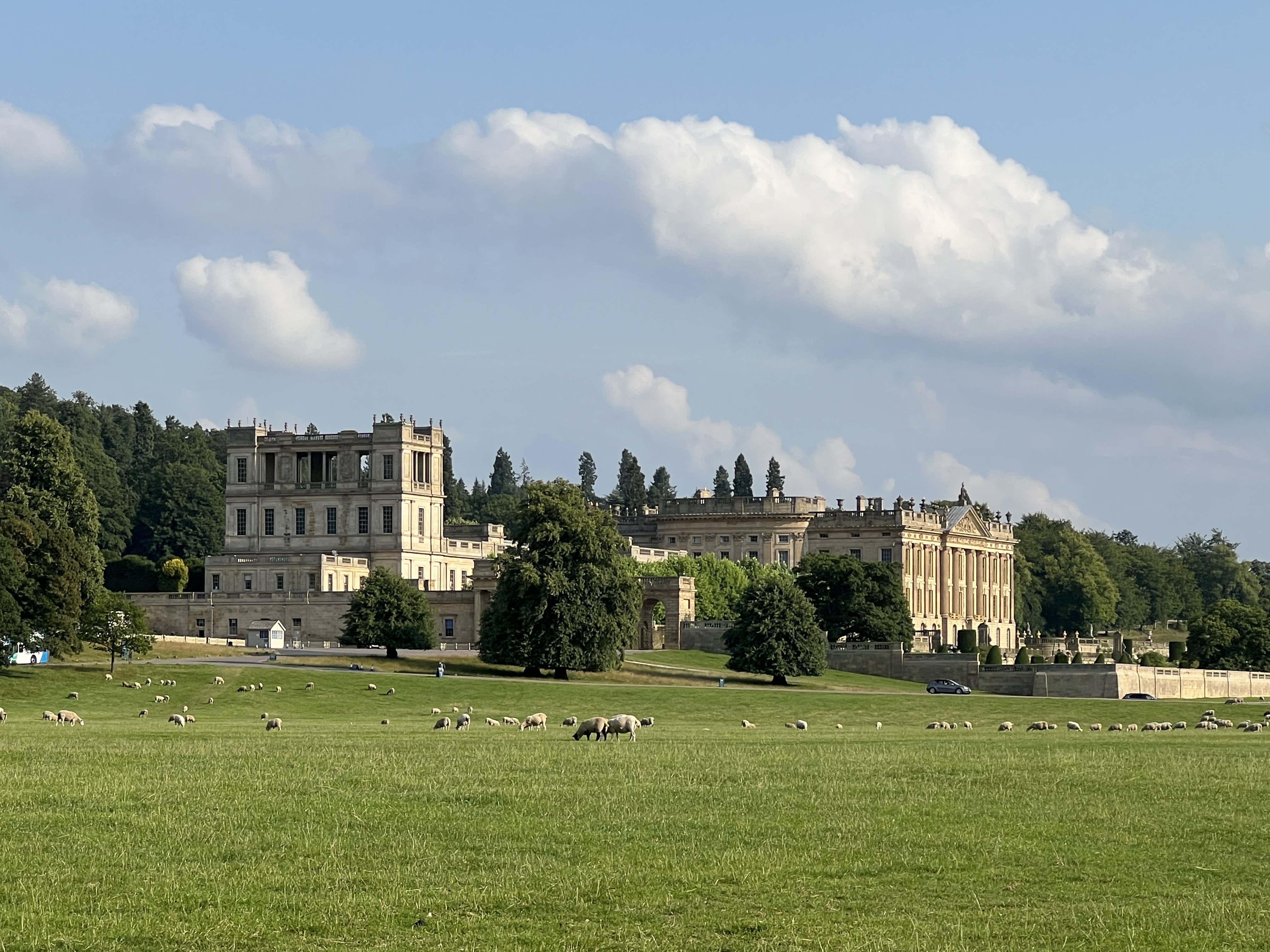
The Northern Trek then climbs slowly out of the village, with wonderful open views back across the valley to Chatsworth, Calver and beyond.
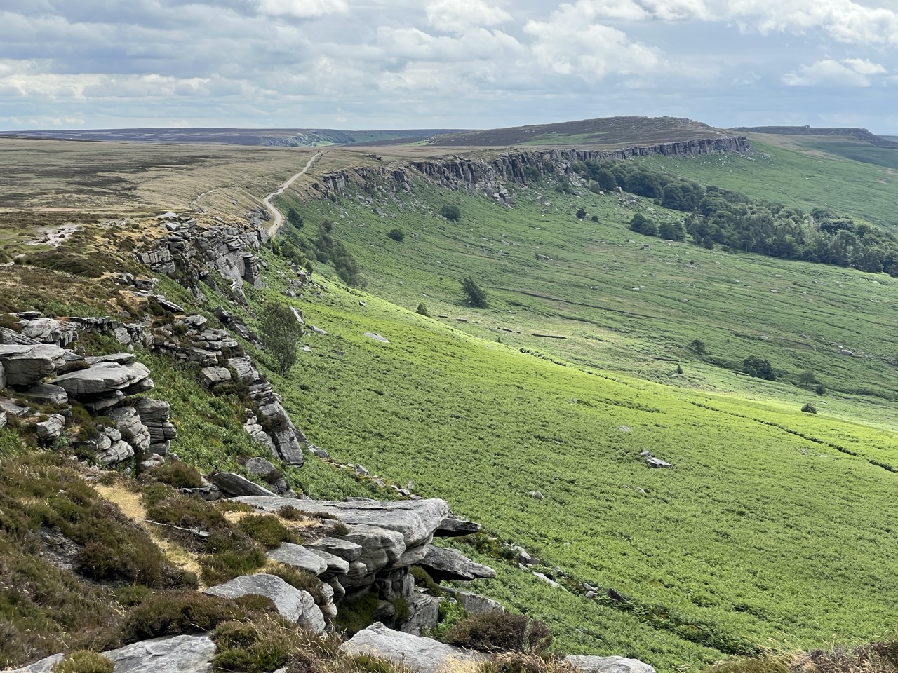
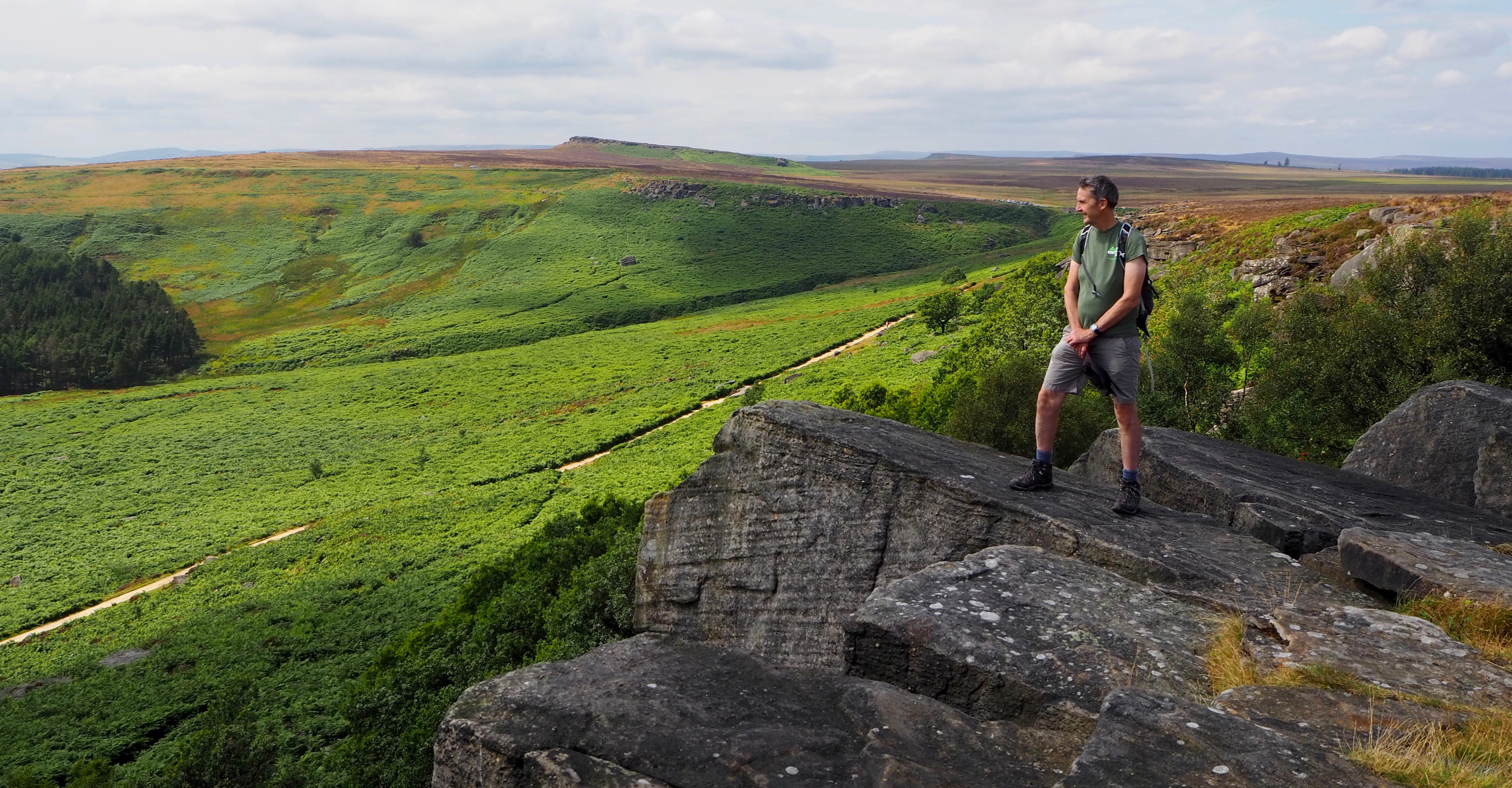
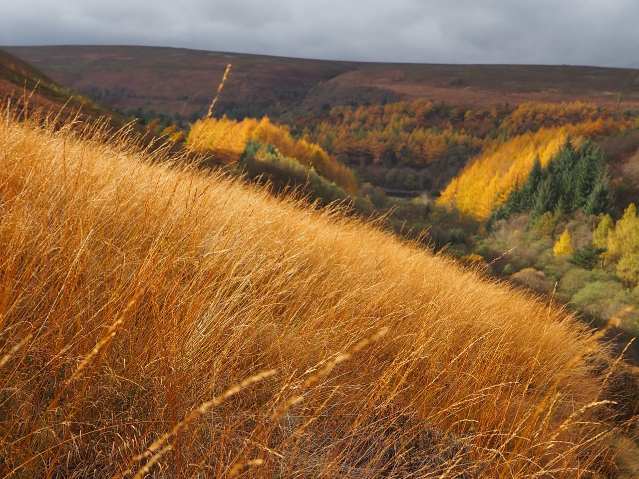
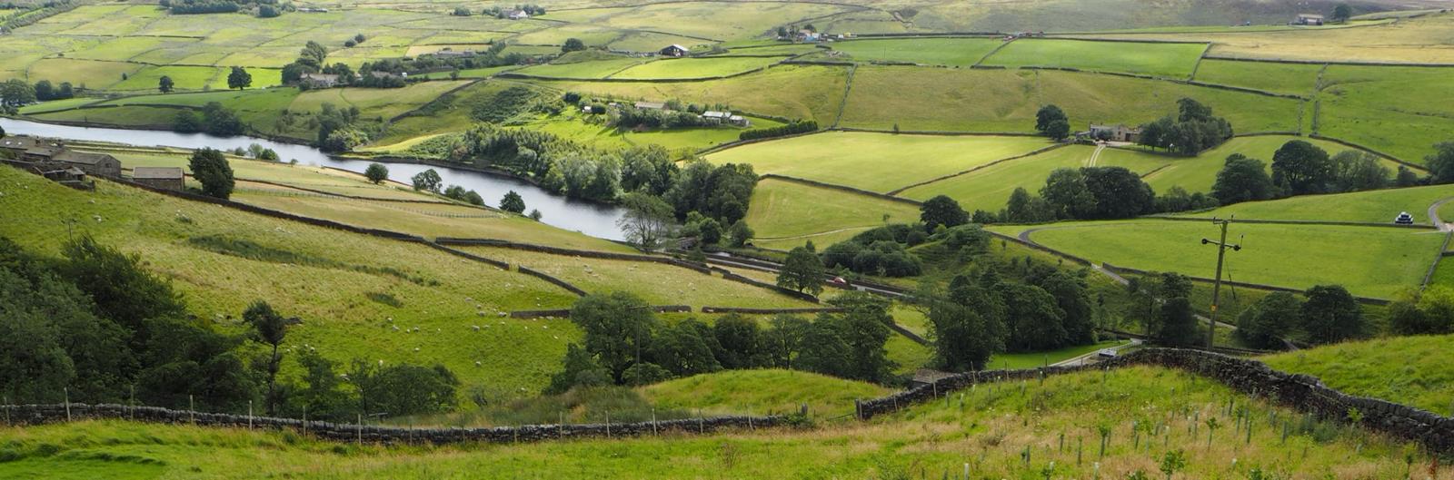
It is a most wonderful and satisfying start to a long distance footpath. Within a few minutes the gentle climb takes you onto the first of six edges, a 20 mile high level ridge walk with stunning views on all sides.
The route is easy to follow and heads north. Thoughts can begin to take shape of reaching Edinburgh and heading further north to climb Ben Nevis.
The finish is 6 weeks away (maybe 6 years away), but certainly in the back of your mind perhaps.
I stumbled across the Derbyshire Edges by accident. It was a chance meeting with a fell runner, on Derwent Edge, who was training for The Edges Race in a few weeks time.
I was intrigued and went back a few weeks later and started to work on the first section of The Northern Trek. The seed had been sown.
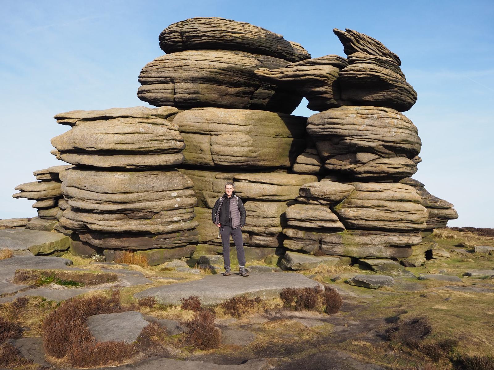
Stunning is the best word I can use. The entire ridge runs at approximately 1000ft (304m) I decided to trek 6 of the Derbyshire Edges and headed North - Baslow Edge, Curbar Edge, Froggat’s Edge, Burbage Edge, Stanage Edge and Derwent Edge and then past ‘Lost Lad Cairn’ and down to Fairholmes car park. The ridge looks down onto Lady Bower and Derwent reservoirs famed as the training ground for the Lancaster bombers and Dam Busters of World War 2. I can hear the theme music playing now.
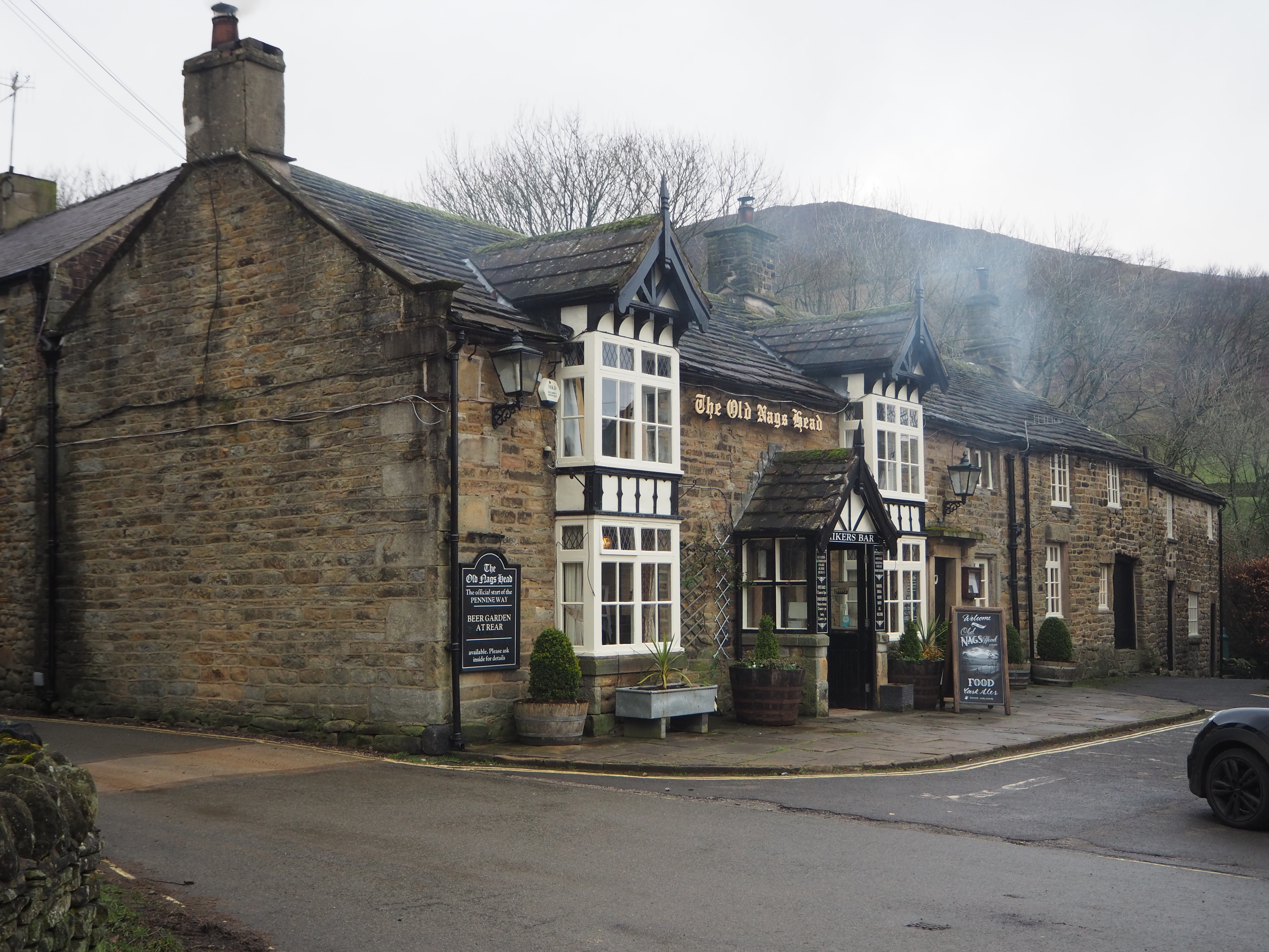
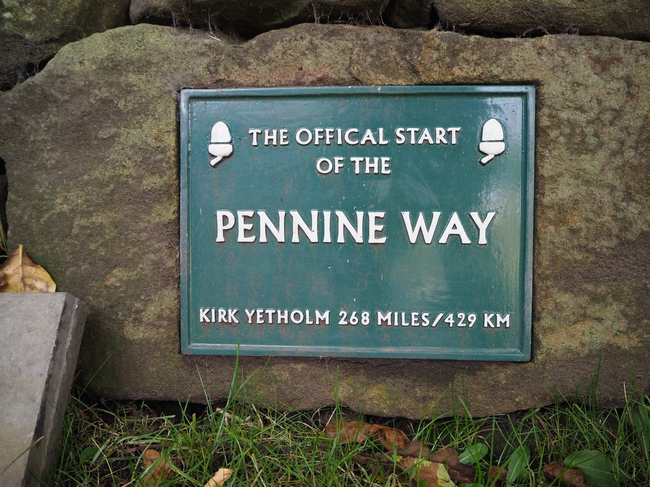
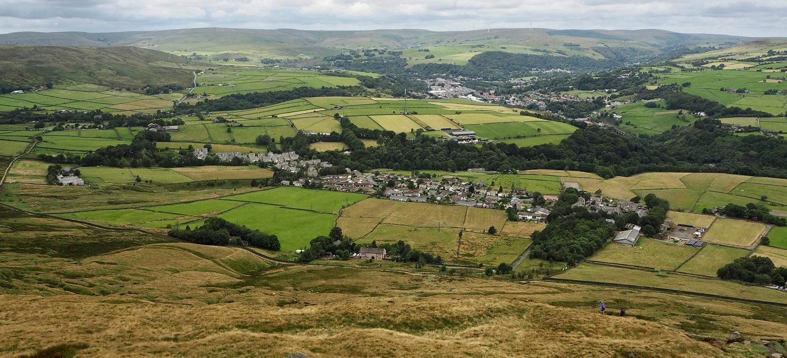
The walk continues through woodland and over the tops into Edale, nestled in the heart of the Peak District National Park. and the actual start of the Pennine Way. If Edale is your first overnight stop, then it’s probably worth a pint and some good food in The Old Nags Head before you begin The Pennine Way - Britain’s first official long distance footpath.
The footpath was the original idea of Tom Stephenson, but it actually took 30 years of lobbying Parliament before the trail was officially launched in 1965.
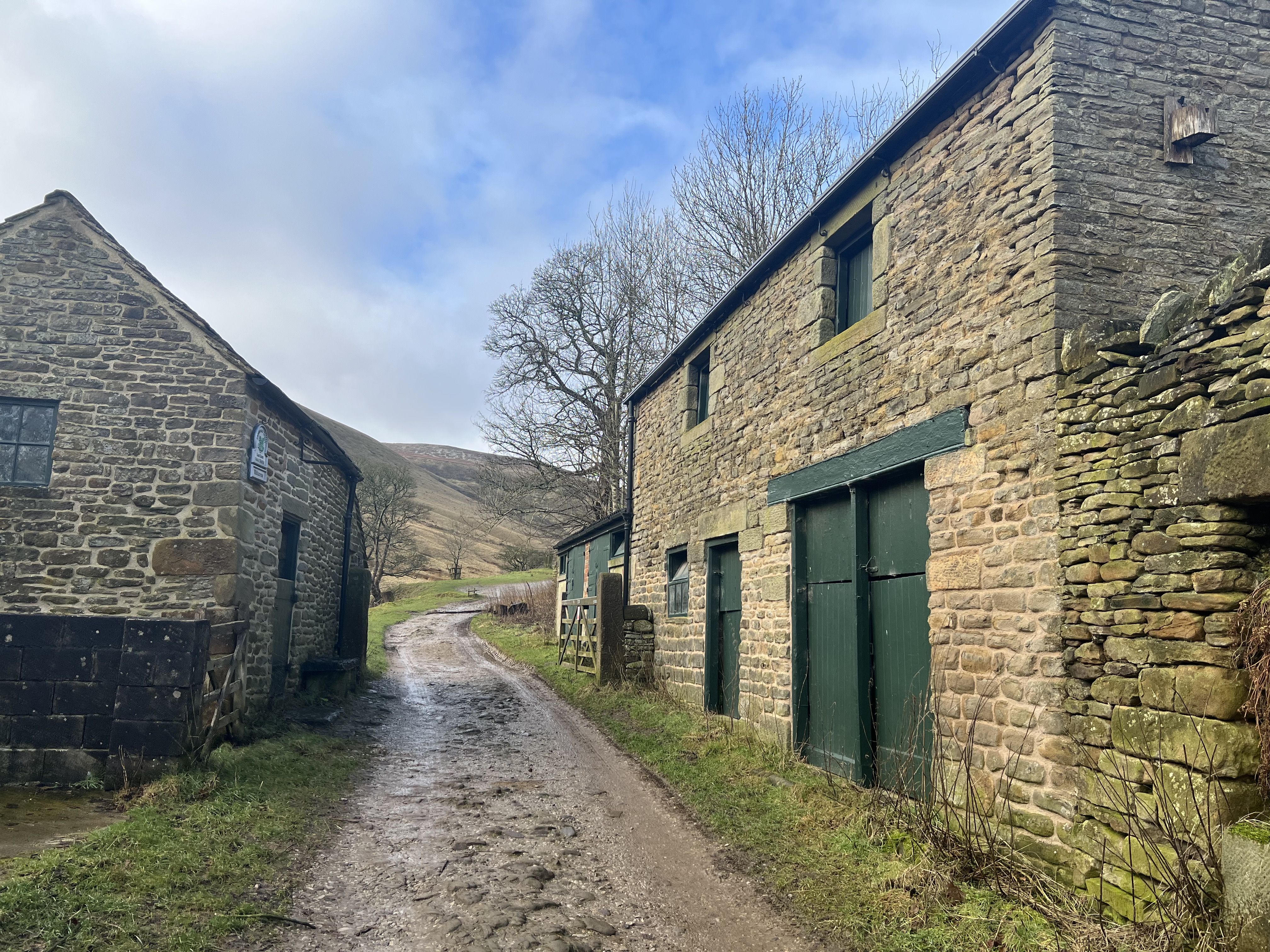
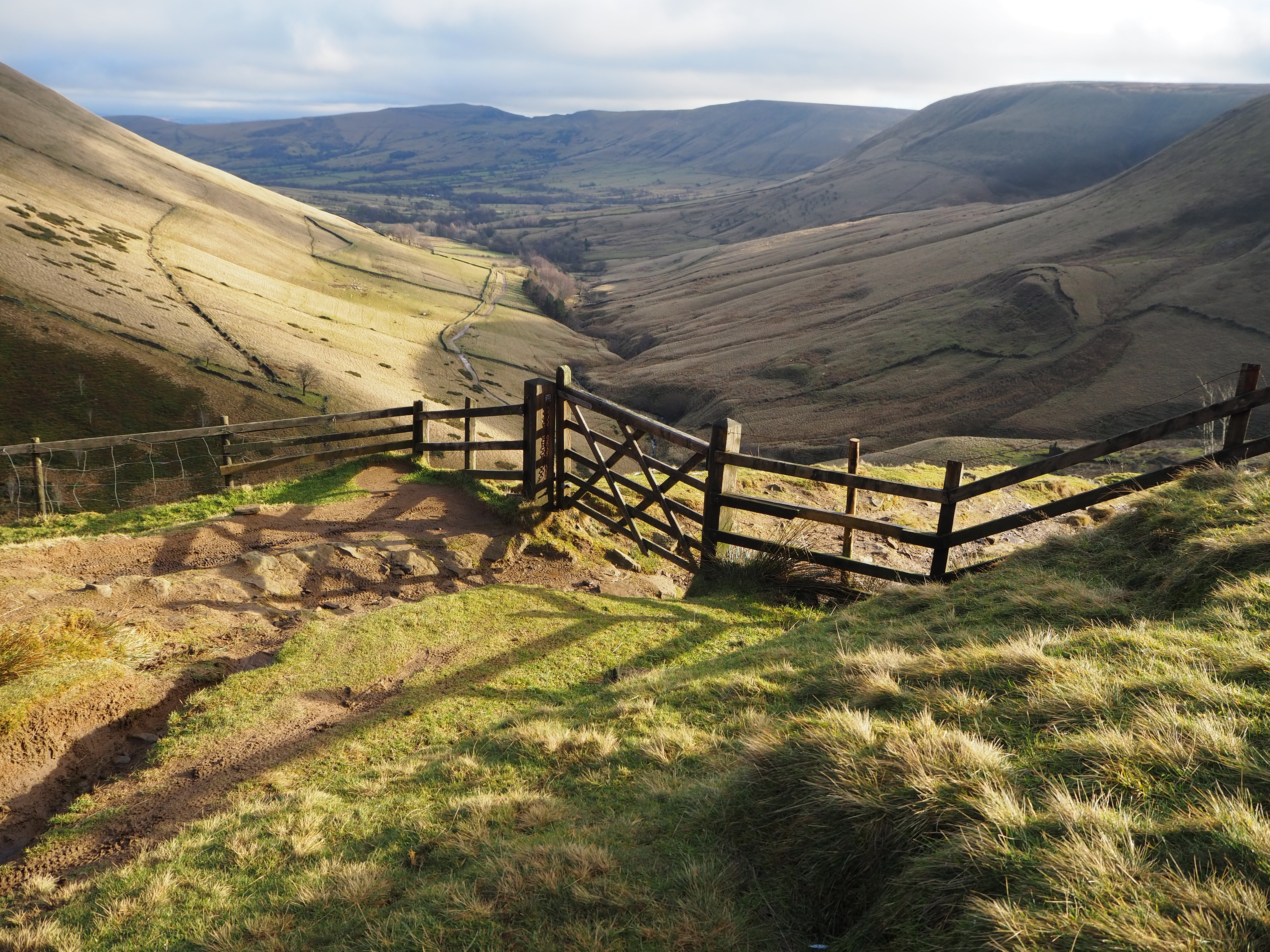
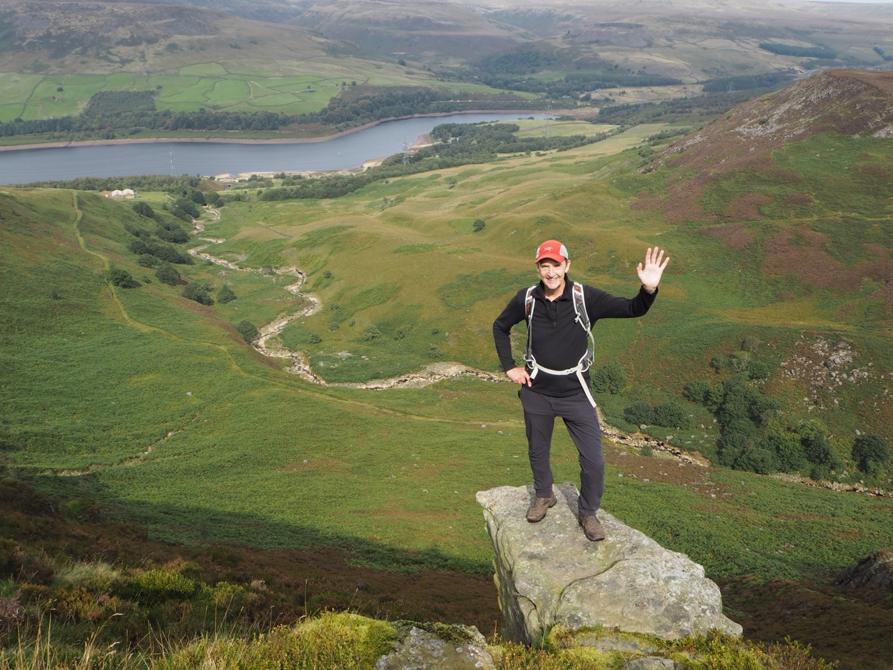
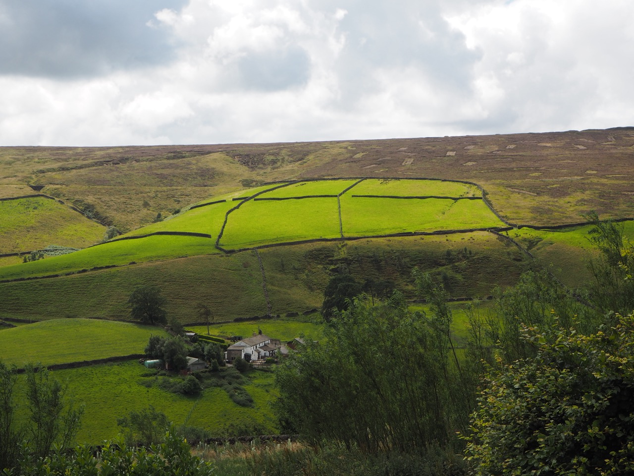
The Northern Trek now follows the iconic Pennine Way up to Kinder Scout, with breathtaking views of Derbyshire and of Kinder Downfall. As you climb Jacob's ladder out of Edale, the dramatic scenery of the Dark Peak unfolds -
rolling hills, rugged and often boggy moorlands, vast expanses of heather-covered terrain, offering a mesmerising contrast to the charming village below.
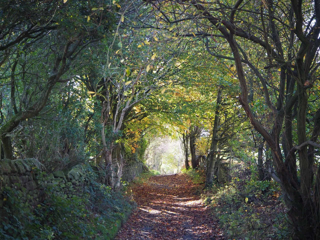
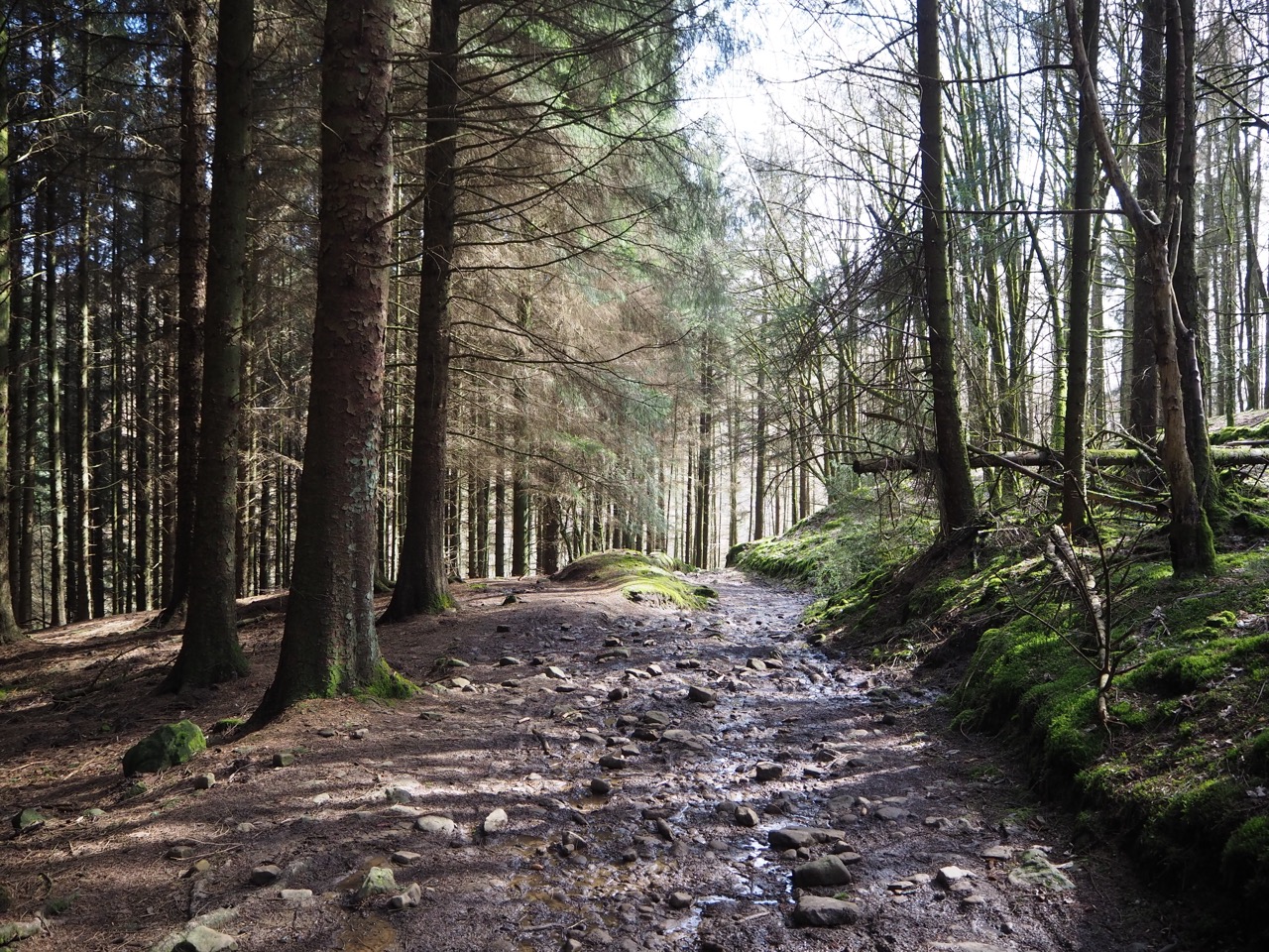
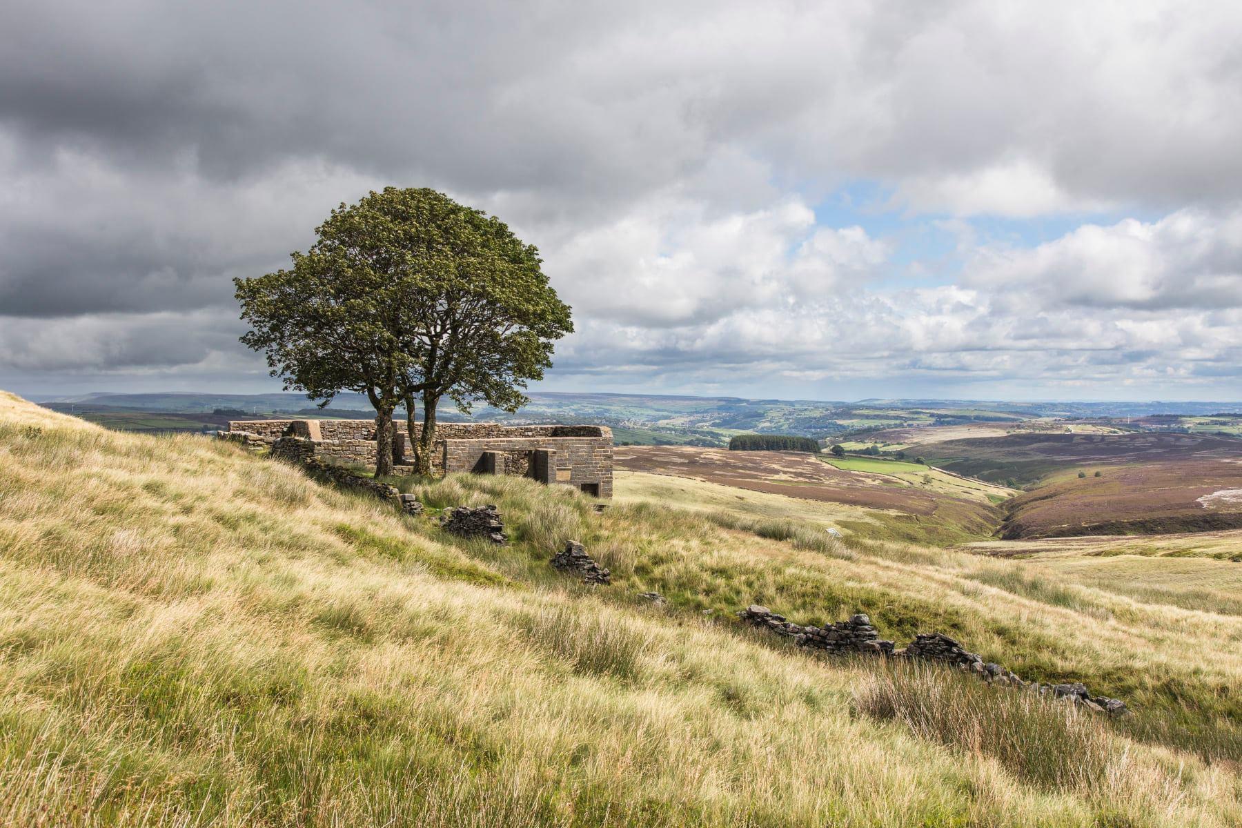
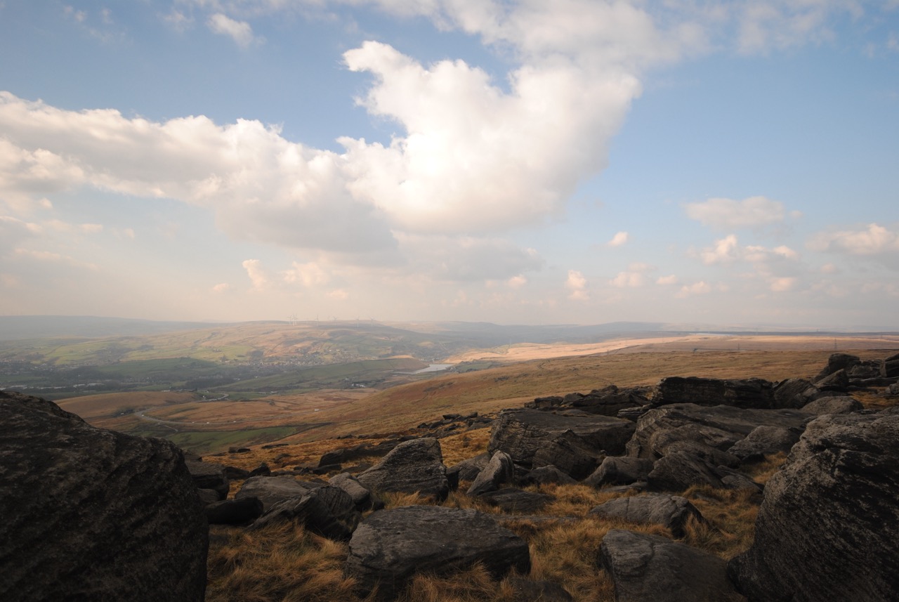
The route continues north crossing undulating terrain and breathtaking moorland through an ever changing landscape. Past reservoirs and through small villages. The route is well signposted and easy to follow, so I’m not going to dwell on it here. Crossing the high moors and along the watershed of Northern England.
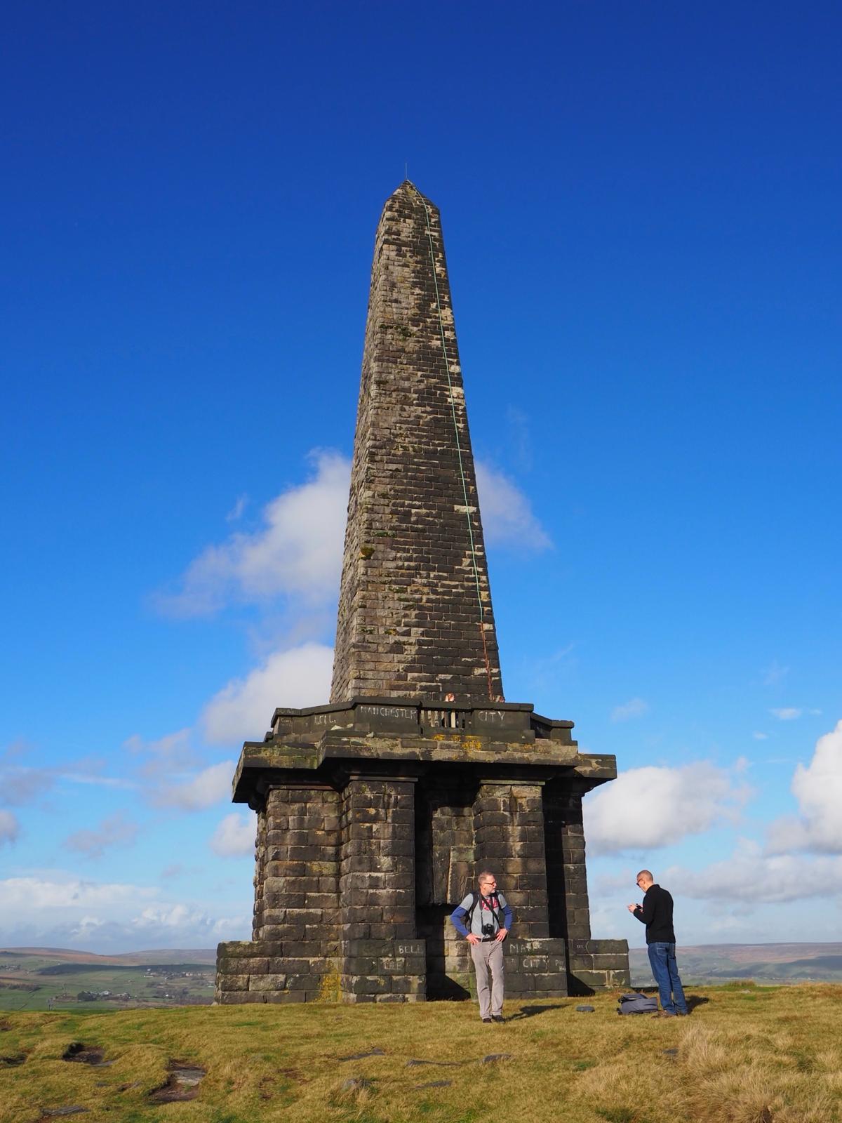
Following the Pennine Way, Stoodley Pike (pronounced Studley by locals) looms in the distance. It is a dominant feature of the south Pennines - and is a great navigational aid in good weather. It commemorates the defeat of Napoleon in 1814.
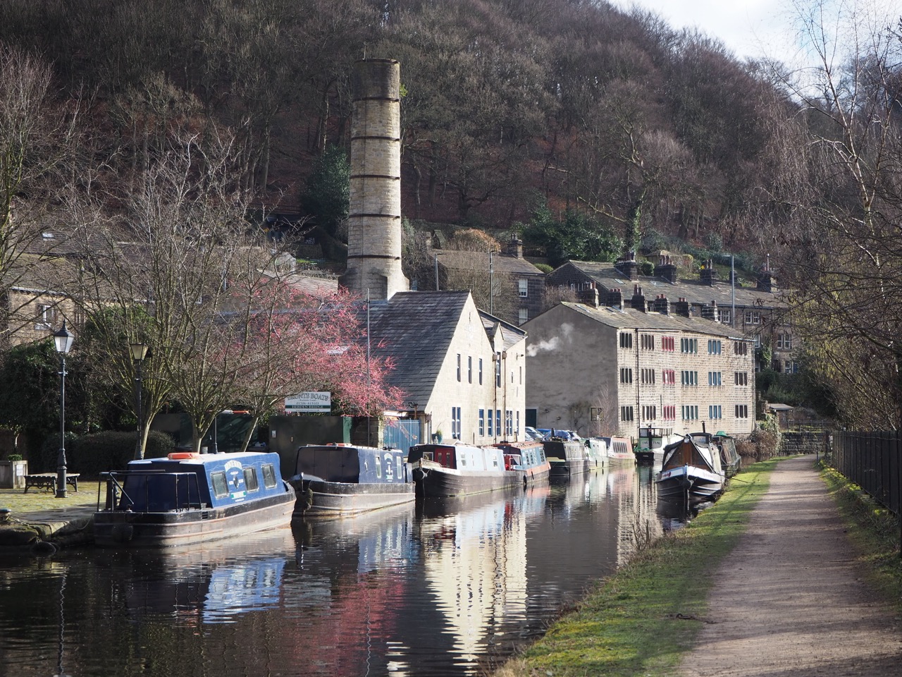
The footpath then goes down the fell and into Hebden Bridge which provides walkers with a chance to rest, refuel and connect with the many warm hearted people who live and work here. Hebden Bridge is one of my favourite places with its tall Victorian chimneys, tiny cobbled alleyways, woollen mills, and canal bridges - architecture from Britain’s Industrial Revolution. Above Hebden are green fields and grazing sheep. It’s no wonder photographers and artists live here.
It’s also famed as the location for two of Britain's favourite television series ‘Happy Valley’ and ‘Last of the Summer Wine’.
After a long day’s walking, Jim and I ‘hobbled’ into ‘Coffee Cali’, a lovely refuge used by the cast and crew of both tv series.. The ‘baristas’ had many stories from the days when the actors were upstairs reading their scripts, but more importantly they made a fantastic cappuccino and latte.
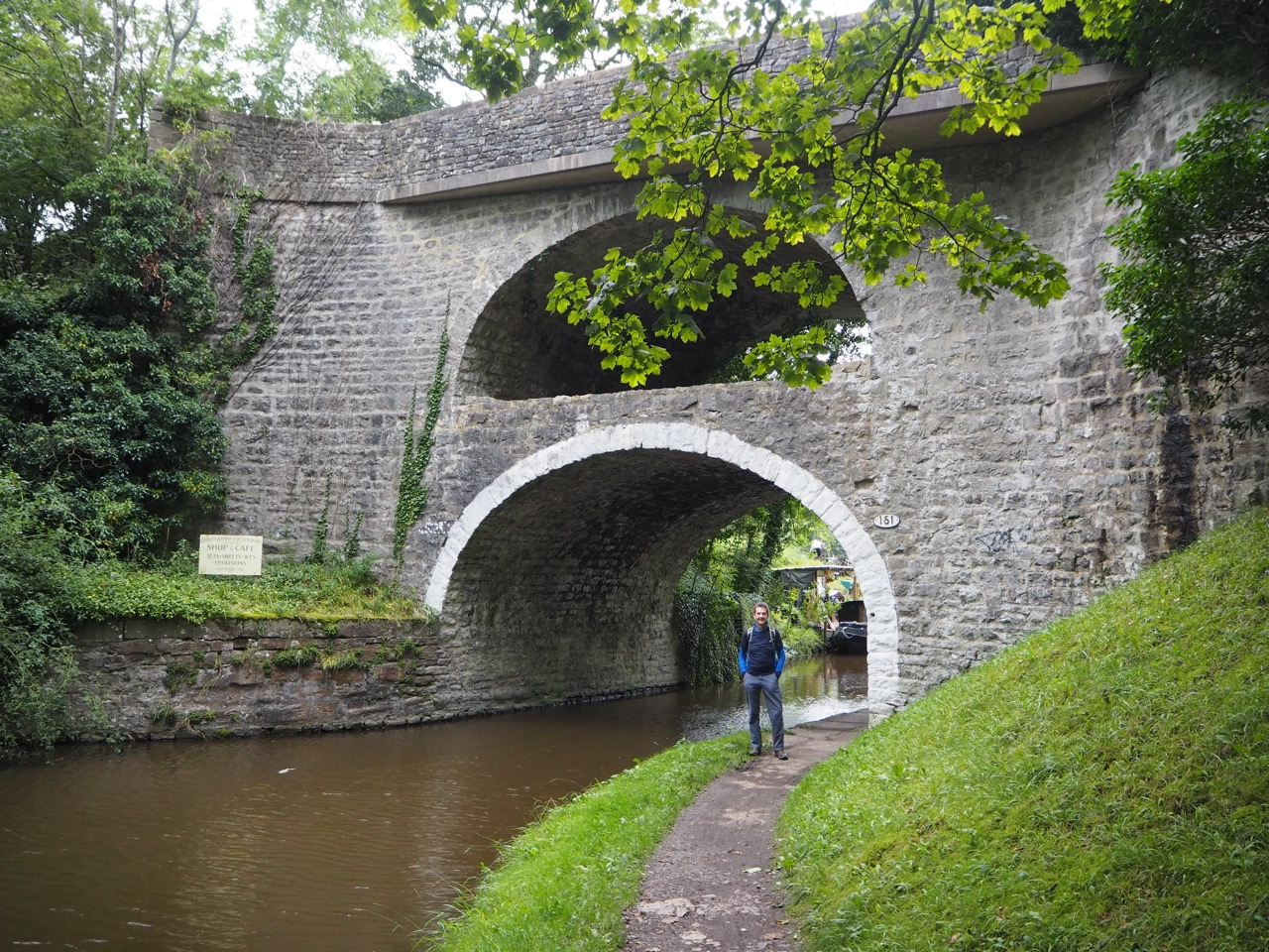
Hebden Bridge is quirky. I have no better word for it. It's an eclectic mix of old cotton and woollen factories looming over this wonderful little town. If time allows, I would recommend a day exploring t’Bridge. I’ve been back several times after I completed the Northern Trek and walked in all directions including long stretches of the Rochdale Canal. It’s a place I’m just fascinated by the people, the history, the architecture, and the landscape.
From Hebden Bridge, it’s over the moors past The Withens, the iconic farmhouse associated with Wuthering Heights - the first and only novel by Emily Bronte, first published in 1847.
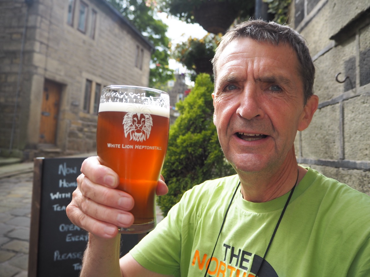
The hills are now green and rolling from valley to valley. Then it’s down and up to the Yorkshire village which shares my name - Heptonstall. It's a short distance off the Pennine Way, but it's well worth the small detour. Of course, I definitely feel at home here. Even my pint glass had my name written on it - Heptonstall! It tasted even better for that.
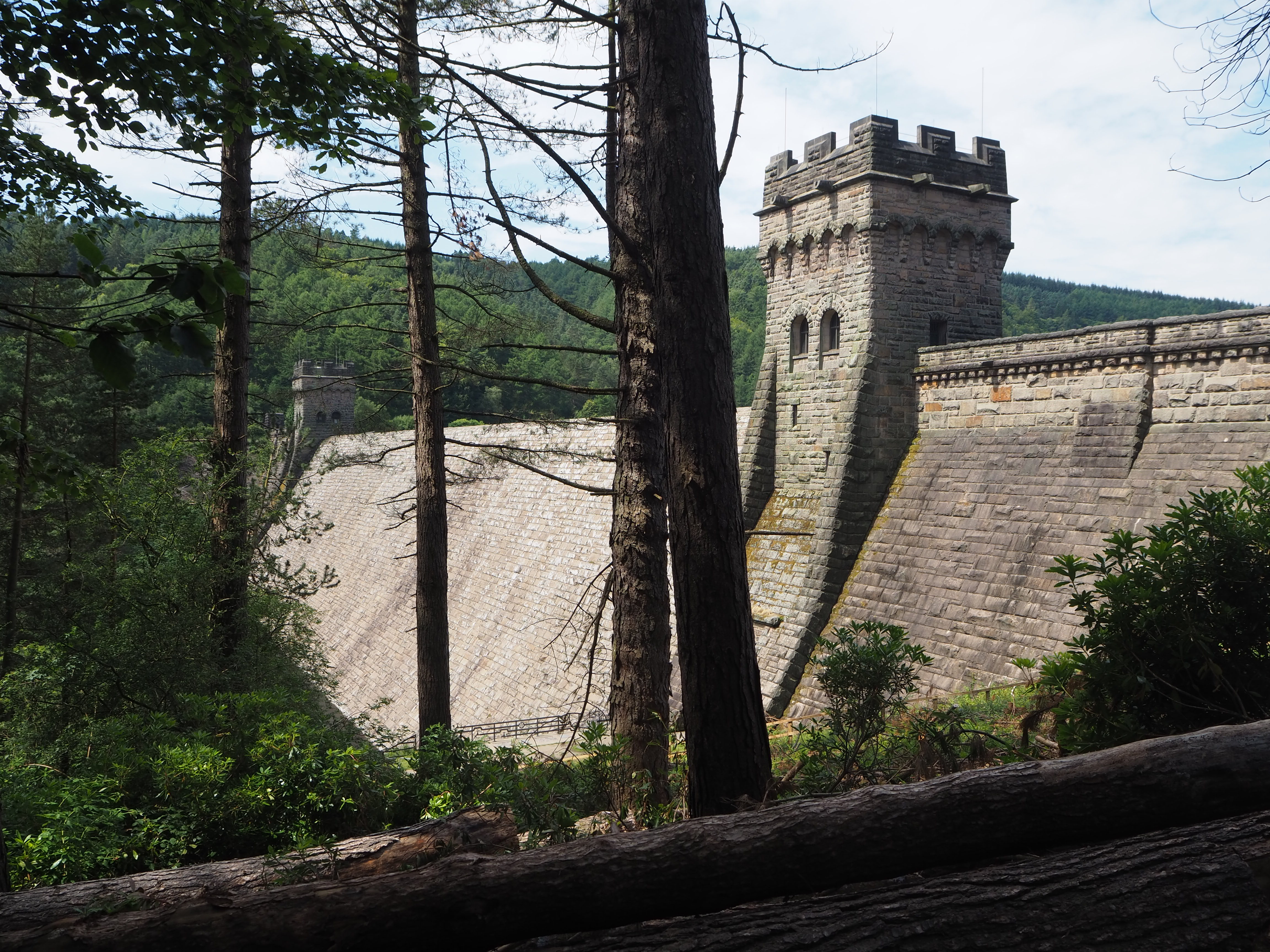
Onwards to Haworth, past several hilltop reservoirs, which were extremely useful during a tricky day of map reading in very low cloud and heavy mist. This reservoir water is still used to top up the great canal systems of Yorkshire and Lancashire.
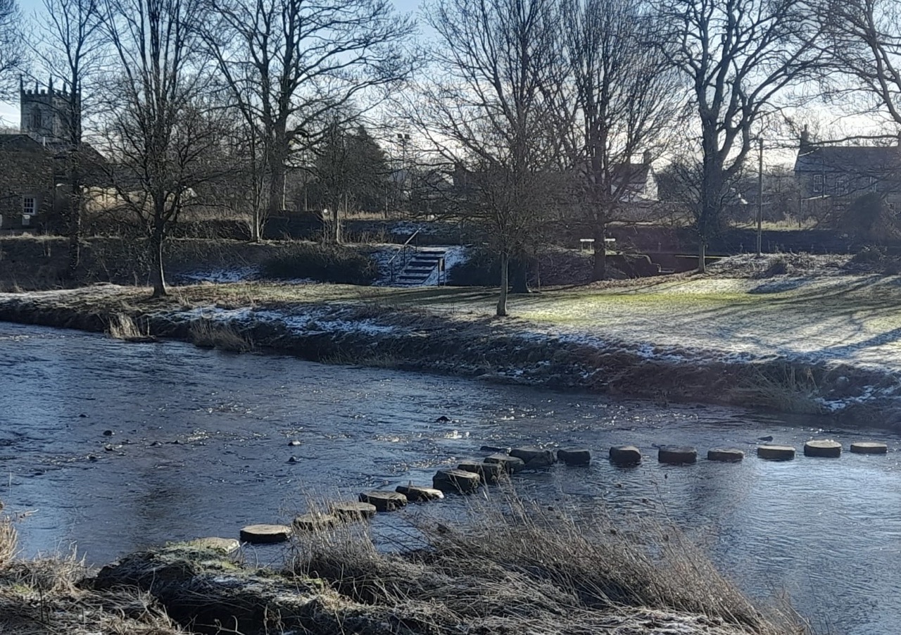
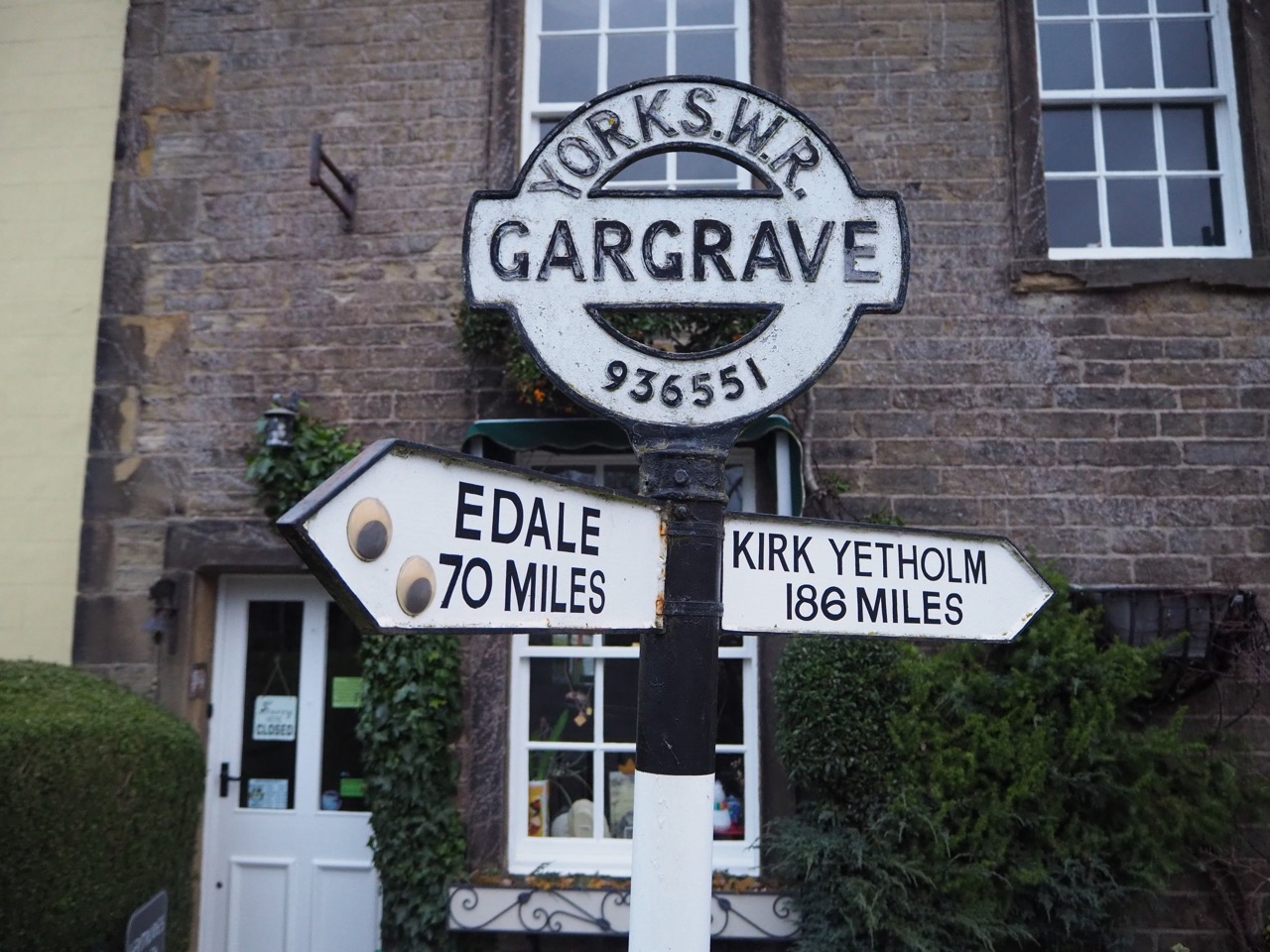
The last section of ‘The Tail’, is to Gargrave along the picturesque Leeds-Liverpool canal. The scenery softens here, and it’s a flat walk into this charming village, which I know very well. Gargrave has an excellent chemist for any urgent foot, knee and leg medications. It also has a must-visit fish and chip shop, where you can sit down in peace and quiet and enjoy some of Yorkshire's best.
'Fly through' 98 miles of Section 1. From the Peak District National Park, through the Pennines to the edge of the Yorkshire Dales
The Northern Trek crosses the six edges. Walking the ridge line on this video, before reaching Edale.
Crossing the ancient footbridge into the village of Edale
Looking back from Jacob’s Ladder before climbing Kinder Scout
Crossing the stepping stones into Gargrave, the end point of Section 1
OS Explorer: OL24, OL1, OL21
or alternatively, Harvey National Trail - Pennine Way South
6 to 8 days
Downloadable route files in .gpx format for use on your GPS device or to use in your digital mapping software
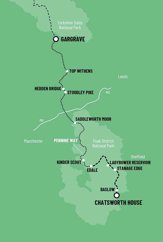
 Chatsworth To Gargrave