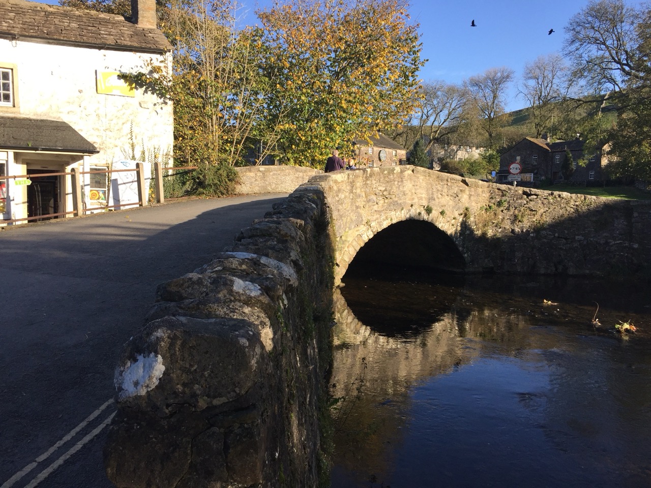

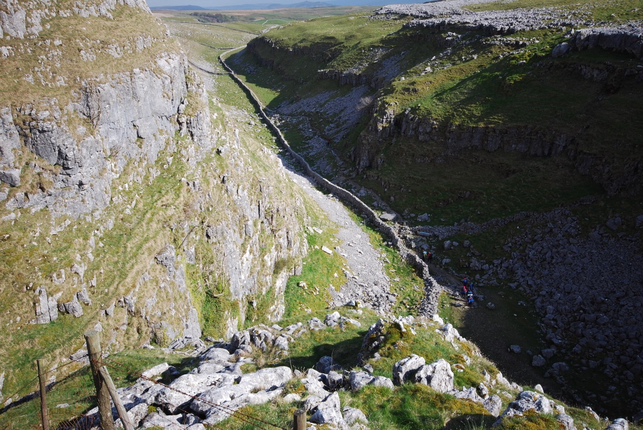

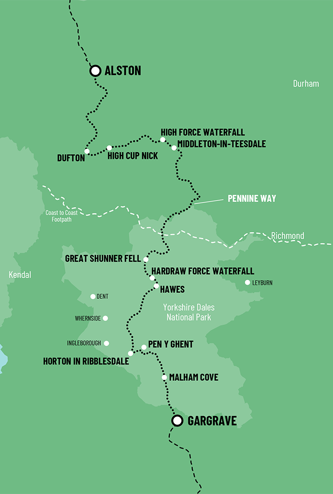
Malham, with its picturesque packhorse bridge and coffee shops has become a tourist hot spot, and it's not surprising why. Just behind the village are two of the most wonderful geological features anywhere in the world. Malham Cove and Gordale Scar. It's worth visiting both as they are only a mile apart.
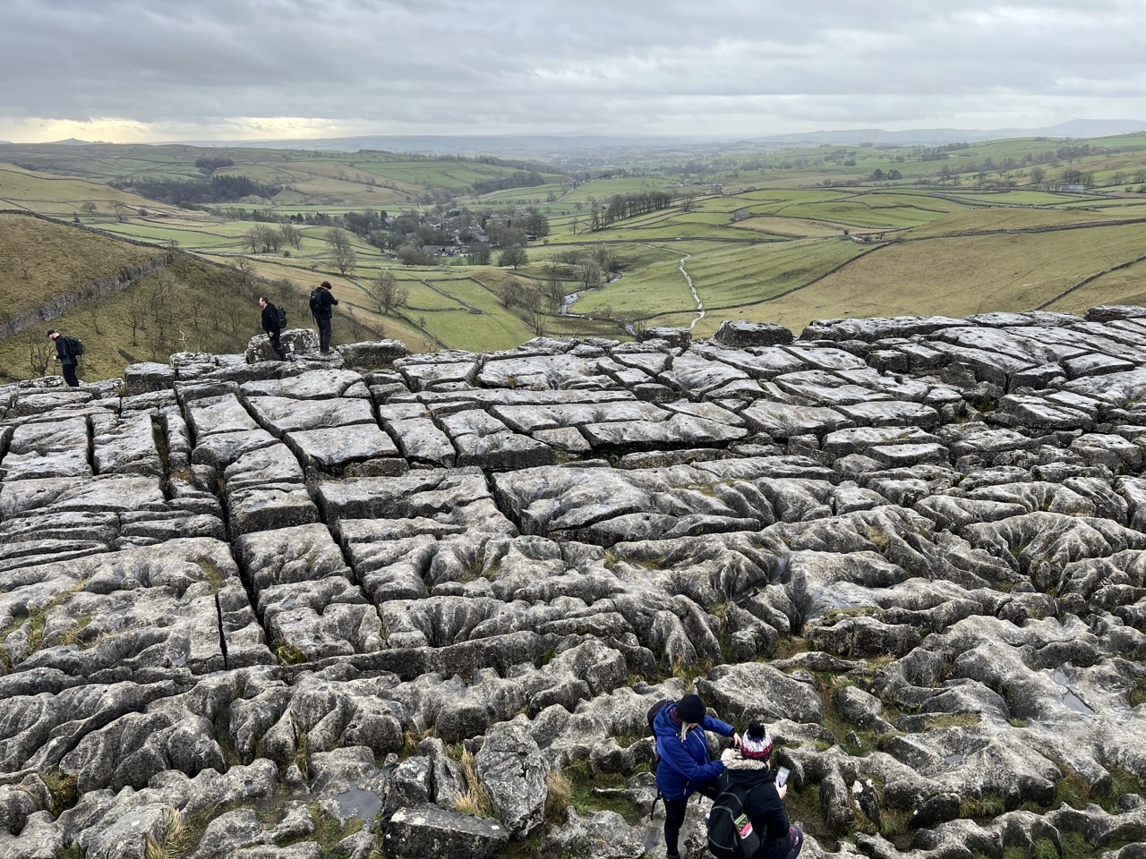
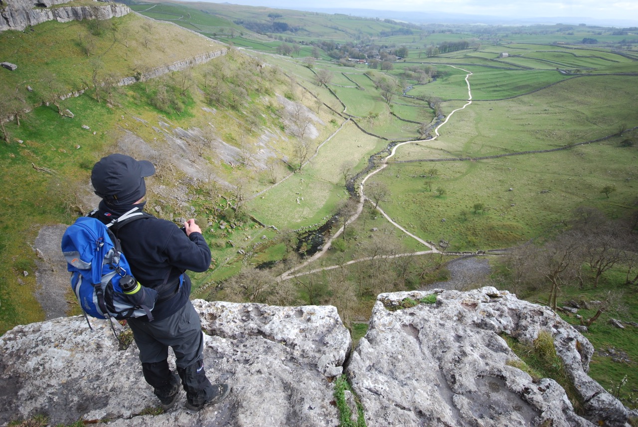
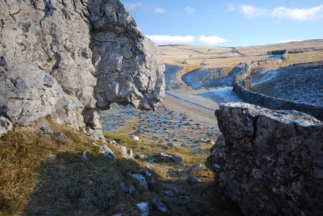
Malham Cove stands on the Mid Craven Fault and this is where the great limestone drama begins. The landscape is big and bold. The Cove is a natural limestone amphitheatre carved out when the glaciers retreated north.
From its base a tiny spring rises, ‘Malham Beck’, which downstream soon becomes the River Aire, which flows into the River Ouse, through York and out into the North Sea via the Humber estuary. A route I may follow one day.
Information boards at Malham tell of Vikings and Romans living here. And during the Stone Age Mammoth, Brown Bears, Hippos and even Elephants roamed the Malham moorland above. The Cove is a superb towering vertical wall of limestone 260ft (80m) in height. In summer rock climbers take on the seemingly impossible climbs whilst admiring tourists watch on from below.
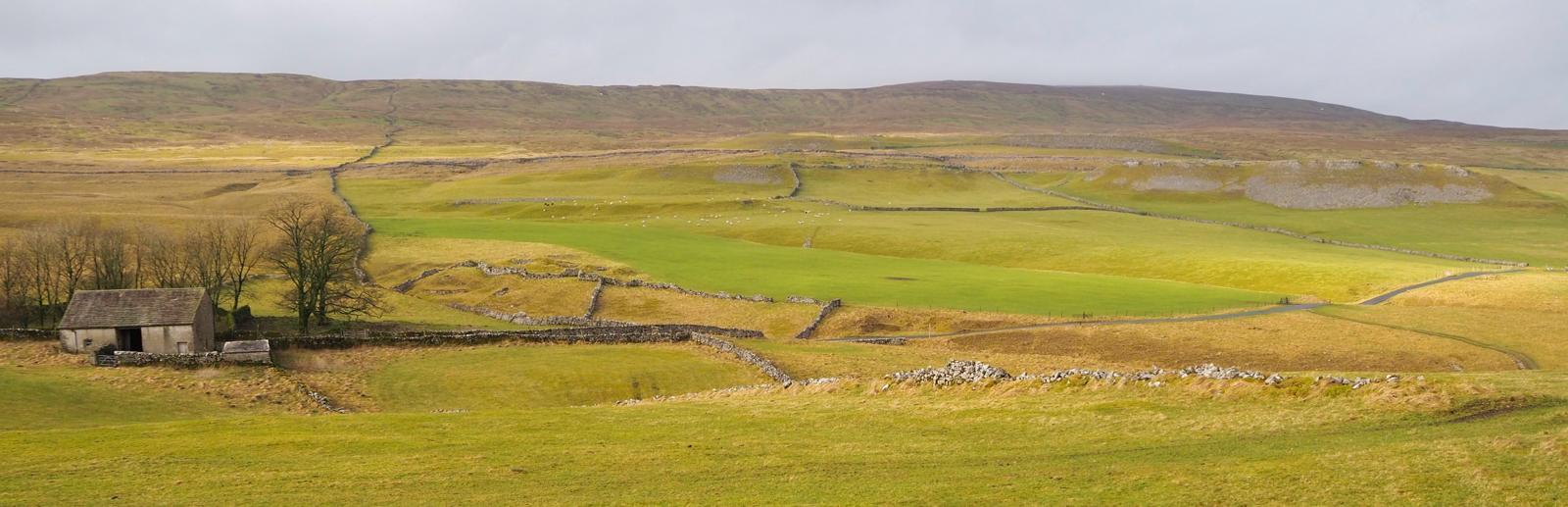
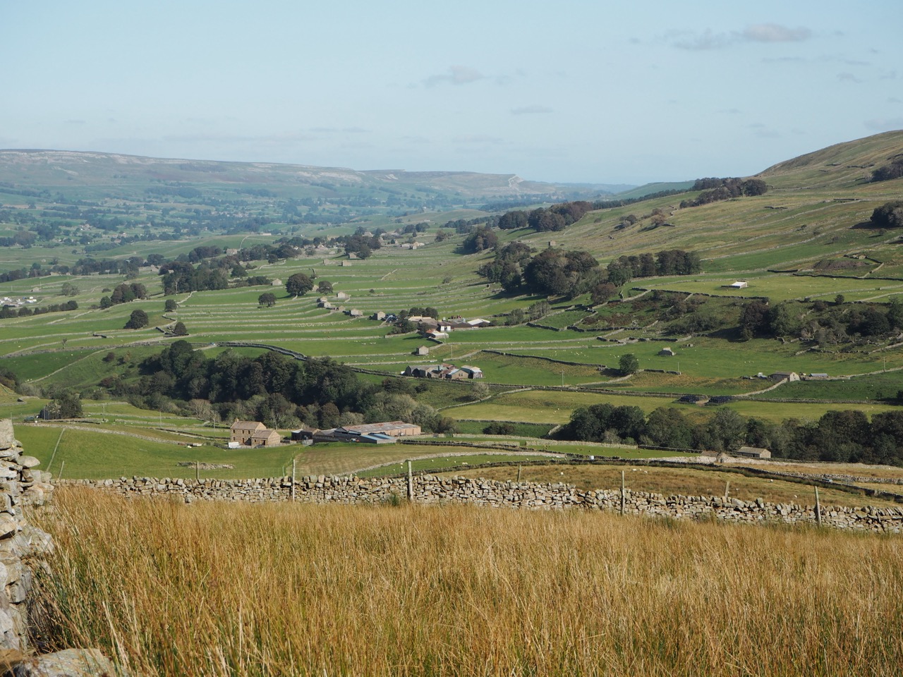
The Yorkshire Dales is a glorious place. Always green with rivers and streams which can quickly disappear into cavernous sinkholes and underground caves. Only to resurface, often a few miles away.
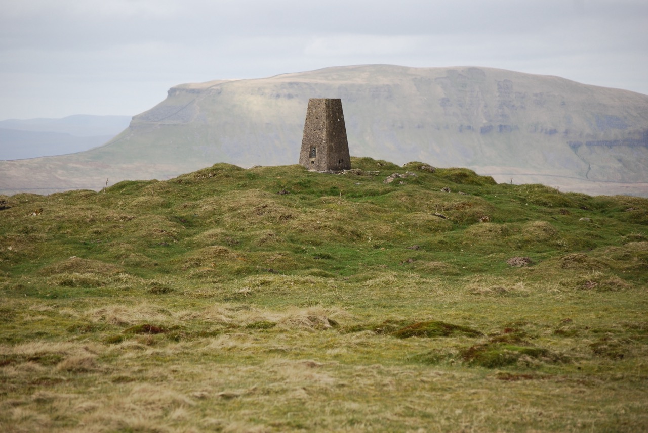
The Northern Trek rises above the cove to Malham Tarn, the highest glacial lake in England. I was puzzled one day. Why was the tarn there at all, when all other water was cascading into and through the limestone? The answer was a geological one - the tarn sits on non porous rock over 400 million years old.
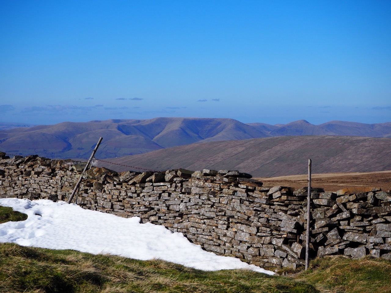
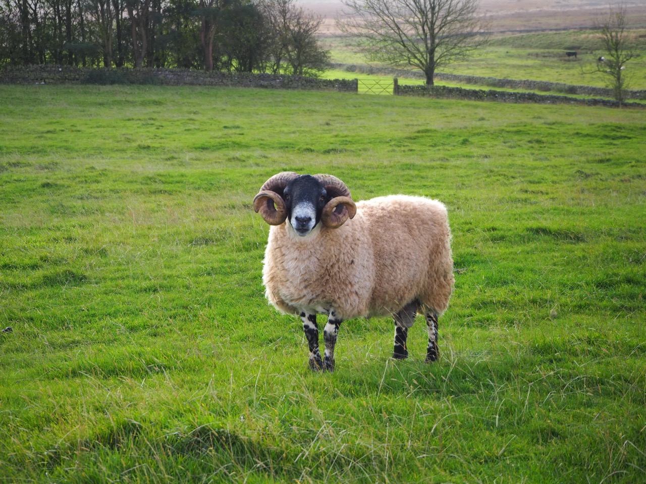
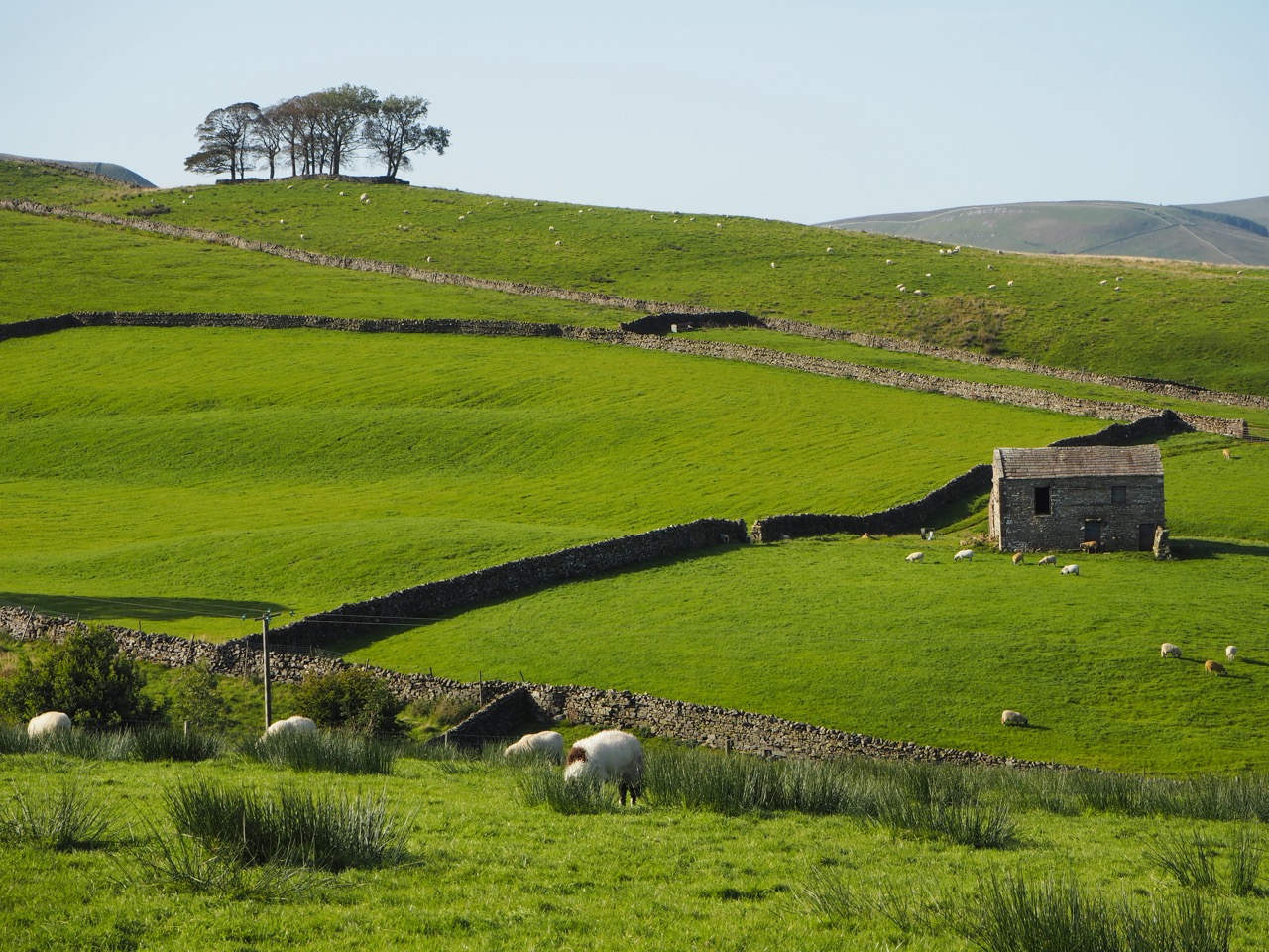
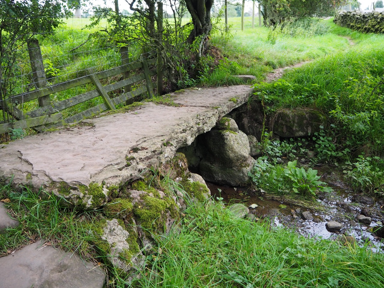
It is also here, on Malham Moor, that Tom Stephenson officially launched Britain’s first National Trail, The Pennine Way on 24th April 1965. Walking through the Dales in Spring and Summer is a glorious experience. The constant bleeting of the sheep calling for their lambs. Up and down, up and down through the most idyllic rolling countryside. Drystone walls are the norm here, with single stone barns, the distinctive call of the Curlew, pack horse bridges and villages tucked away in the valley bottom. It’s no wonder Yorkshire is often referred to as ‘God’s Own Country’.
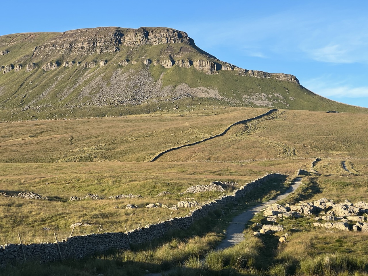
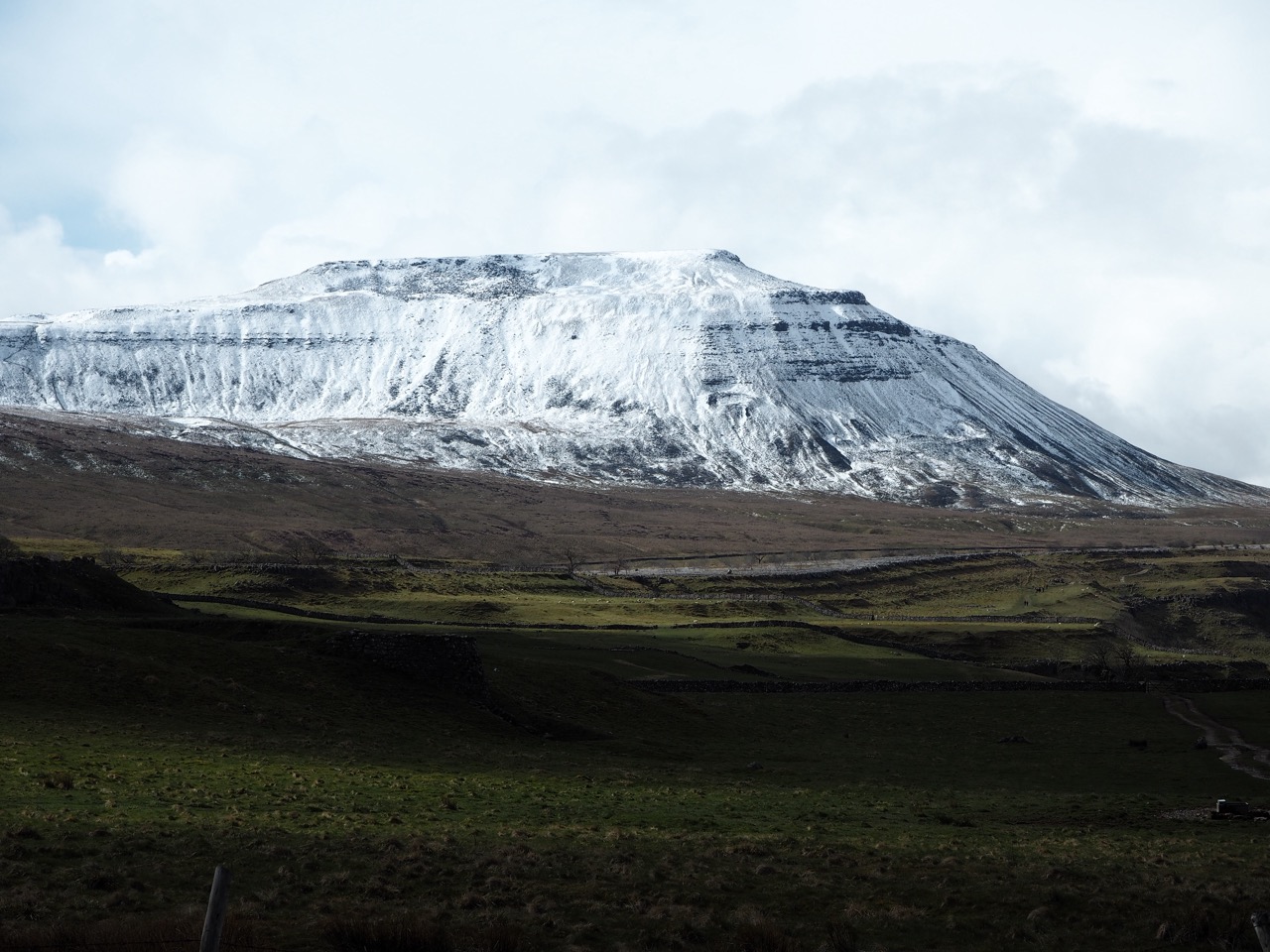
The next major stop after Malham, is Horton in Ribblesdale. The starting point for Yorkshire’s most famous walk - The Three Peaks (Pen-Y-Ghent, Whernside and Ingleborough). It’s a tough walk of 24 miles and has to be completed in 12 hours. Every weekend in summer hundreds of people will walk it. It is a true right of passage for many Yorkshire folk, and will always be one of my favourite walks.
However, on The Northern Trek we climb to the summit of just one, Pen-Y-Ghent. Thankfully the paths around Horton are now reasonably well paved. It is certainly much easier underfoot, than it was 20 years ago when my boots would sink deep into the mud. From Horton the path climbs over Dodd Fell, probably the longest single climb on the entire Trek. Then it’s down into the picturesque town of Hawes, for some well-earned food, a beer and then it's feet up for the night.
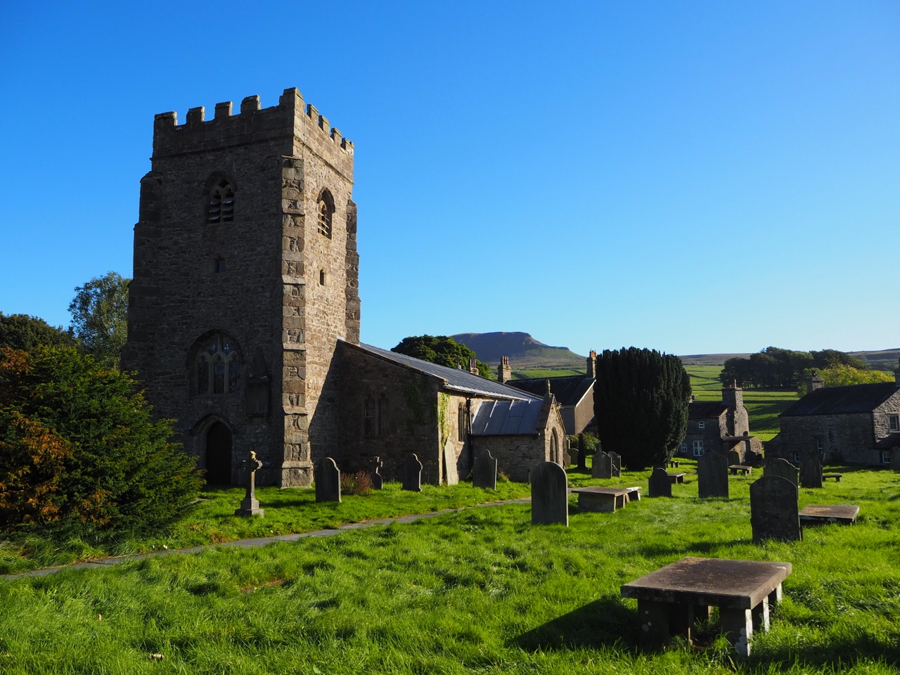
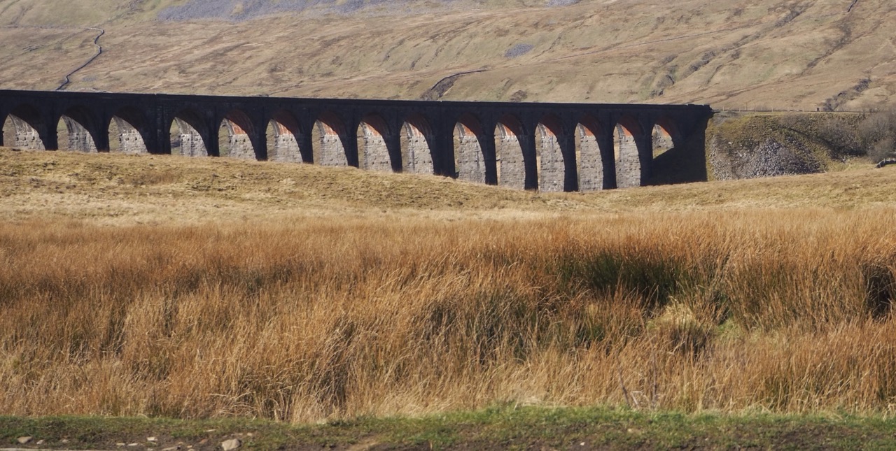
Over the next few days the route continues north through the valleys of Wensleydale, Swaledale and on to Teesdale. Passing Hardraw force, over Great Shunner and down into the tiny village of Keld - a very welcoming village which was originally the home of Scandinavian settlers.
It is here that the Northern Trek/Pennine Way crosses the Coast to Coast footpath. Two of the most popular walks in the UK. A small and remote Yorkshire village, with walkers from all over the world, passing through on a regular basis.
A few miles further north is the remote and famous Tan Hill Inn - the highest pub in Britain. It serves great food and there is a lovely log fire on most months of the year. But this is not a place to stay for the night, it’s best to keep going and cross the moors and head down to Middleton in Teesdale, where you will have a wider choice on all fronts.
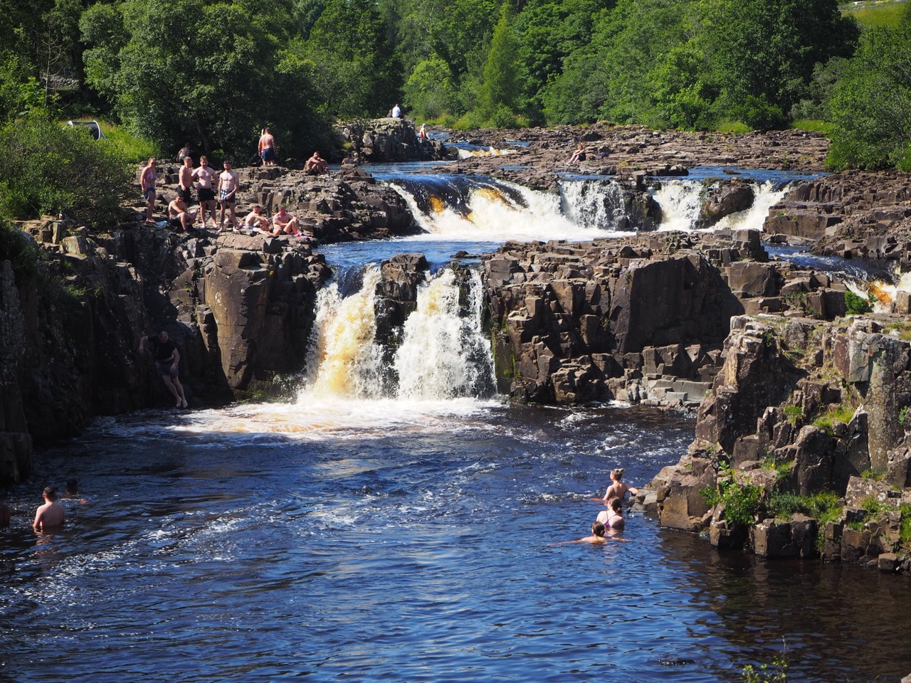
After a night's rest the footpath follows the river Tees, which forms a natural boundary between the counties of Yorkshire and Durham. Two cascading waterfalls are now close by. The first is Low Force which Steve and I pass on a red hot summer’s day, just after the Covid lockdown. Hundreds of young people were swimming in the river, diving off rocks, drinking and having the time of their lives. It was wonderful to just sit there, and enjoy the fun and mischief.
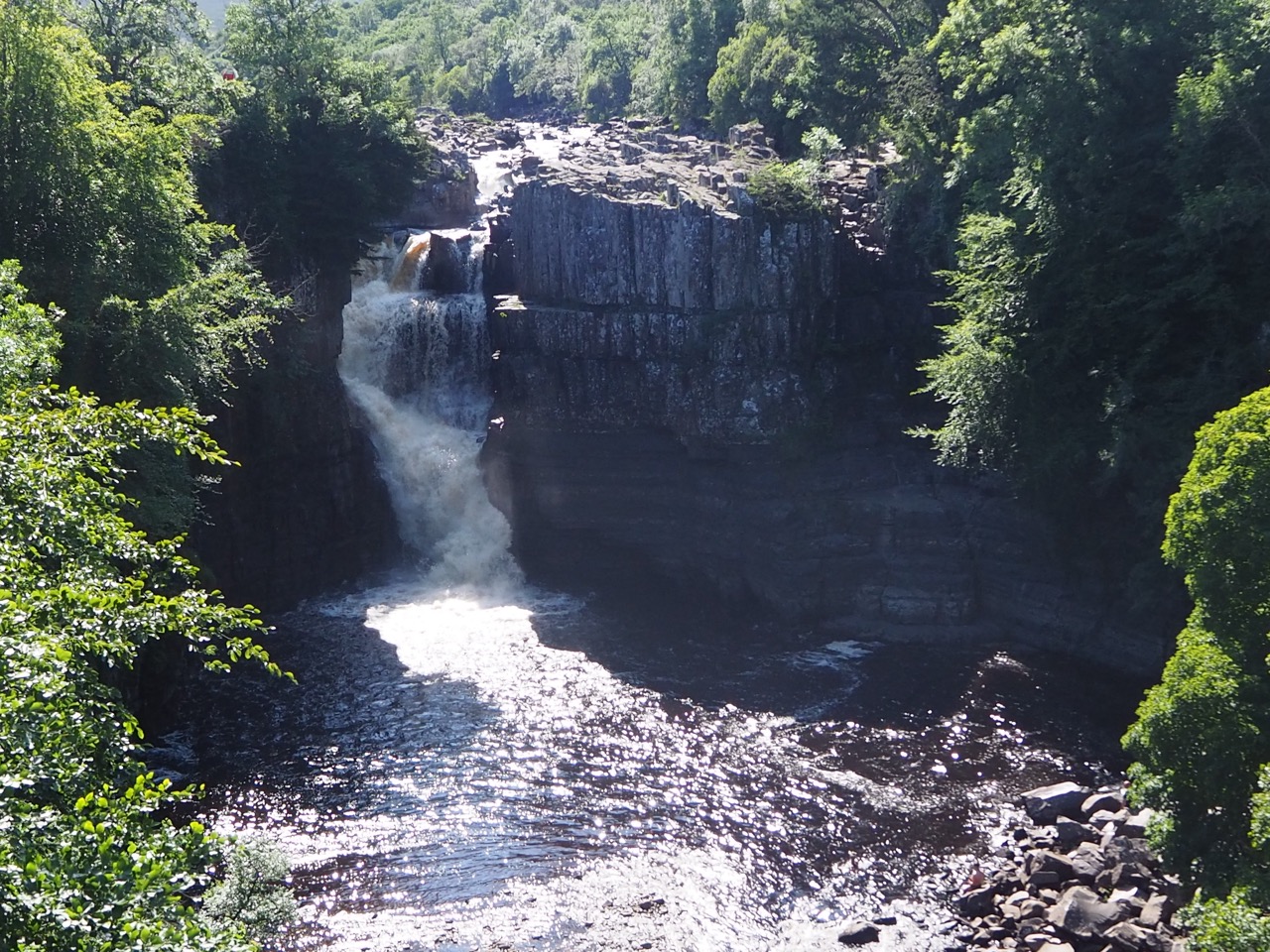
The second waterfall is much bigger, High Force - and it was in full flow. We could hear its thunder from a couple of miles away. The water plunges 70 ft (21m) with great force and purpose. It is a powerful scene and one of the great highlights of the Northern Trek. The waterfall has been known to completely freeze over in winter. I once saw climbers attempting the frozen ice fall with axes and crampons.
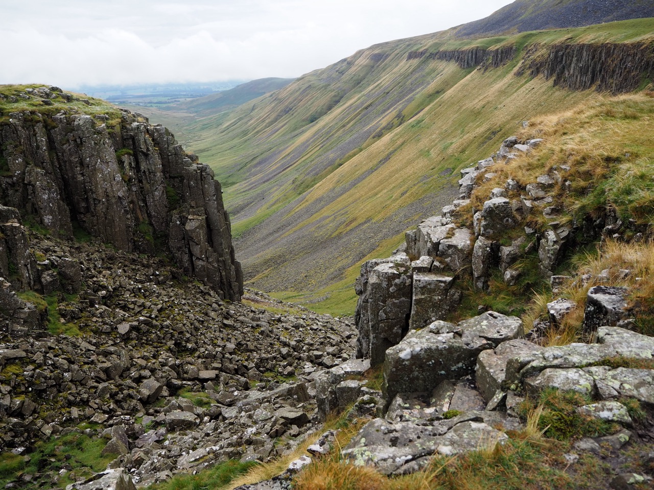
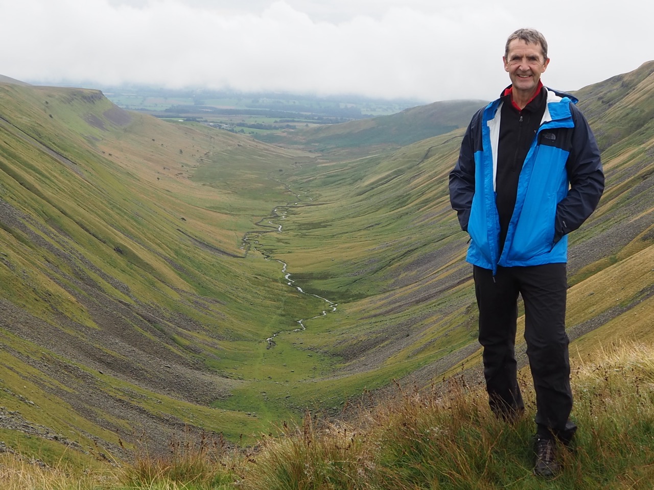
Beyond here, the fells flatten for a while, the landscape is quieter and more gentle. A welcome rest before the magnificent and breathtaking view from High Cup Nick. This is the most perfect U-shaped valley in England and on such a huge scale. The wall sides are 600 ft (183m) deep in places. The Helm Wind blows here. It is the only named wind in the UK. It didn't let us down either. The wind howled past us as we walked around the top of the bowl.
High Cup Nick is often voted one of Britain's favourite day walks. It’s certainly a wonderful place to be.
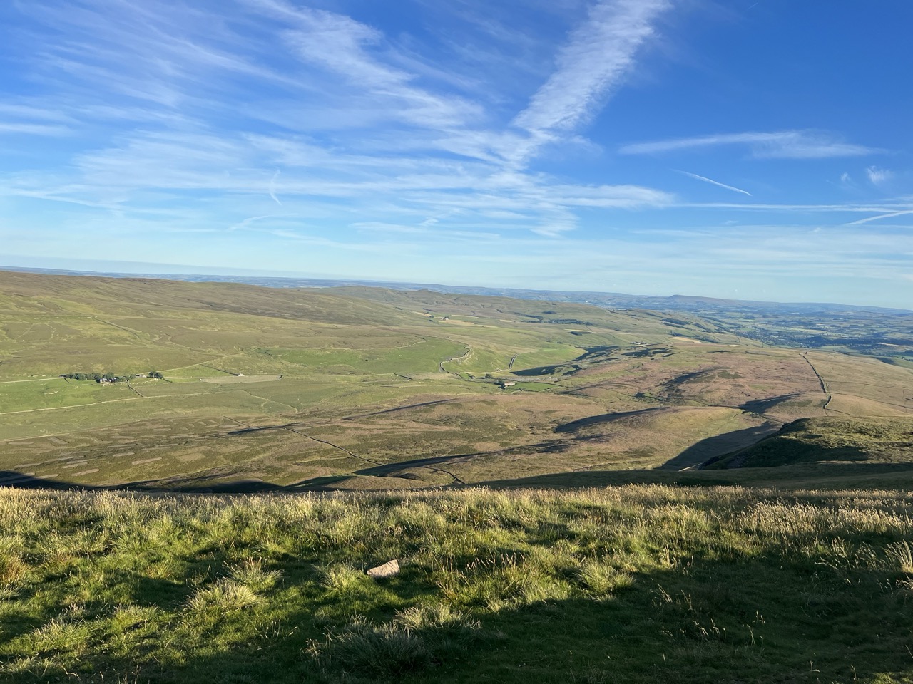
The Trek then skirts Middleton-in-Teesdale towards Dufton and on to the top of Cross Fell 2930 ft (893m) - which surprisingly is the very highest point on the Pennine Way. The moorland slowly changes to become wilder and more open and desolate. The land springy underfoot. Fewer farms and long stretches without roads or habitation.
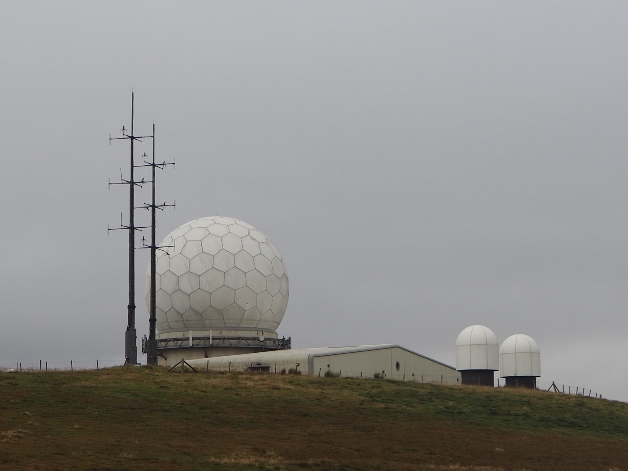
Far in the distance is the weather and radar station at the top of Great Dun Fell 2780 ft (848m). Another wild, lonely and inhospitable location. With a near ‘frozen sandwich’ for lunch, we sat in persistent sleet at the base of the radar station taking shelter as best we could. It felt like a film set, for a 1960’s sci-fi movie, or an early Dr Who.
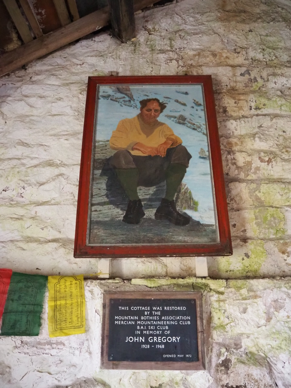
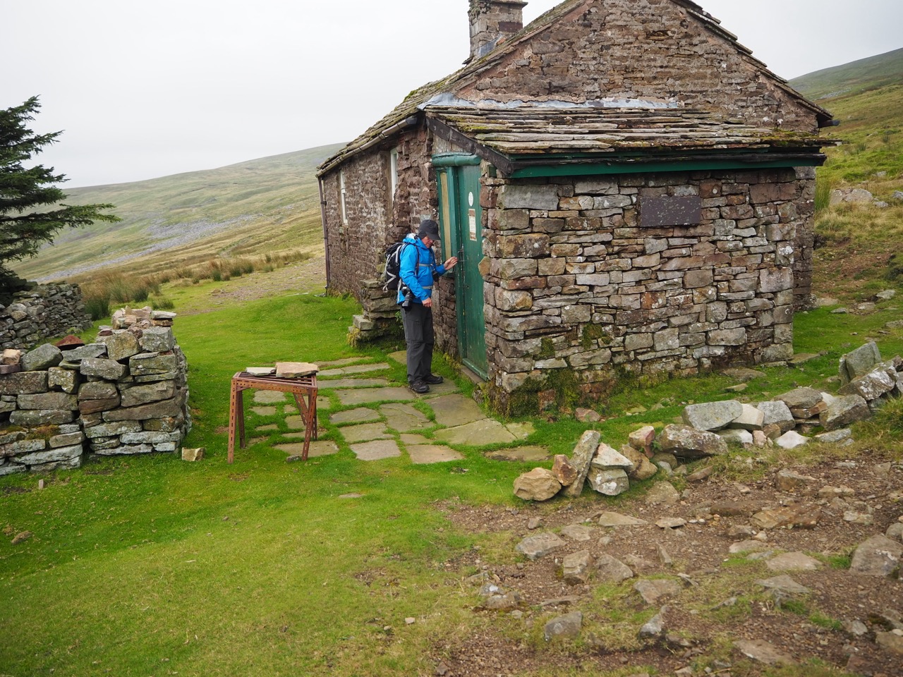
Just beyond the summit of Cross fell, the footpath finally reached Greg’s Hut - a mountain refuge built of stone, with a painting of its founder John Gregory on the wall. There is no electricity or running water here, but there are signs of life. Previous visitors have left tea and coffee, and some biscuits and messages for the weary traveller. It is estimated that over 800 walkers will hunker down here every year and sleep for free inside this mountain hut. Read the log book - it's so fascinating. I photographed several pages on my mobile so I could read the entries later. Tibetan prayer flags hang on the ceilings. This is a stunning refuge in one of the toughest terrains.
From Greg’s hut, it’s down past the old lead mines, into the dale bottom and the quiet little village of Garrigill. The trek continues north through an Area of Outstanding Natural Beauty over the tops and into the market town of Alston. We have reached the end of Section 2, The Rump.
The hills of the Pennines now give way to the Northumberland National Park.
Scenic 'fly through' of Section 2. From Gargrave to Alston via Malham, Horton-in-Ribblesdale and Hawes
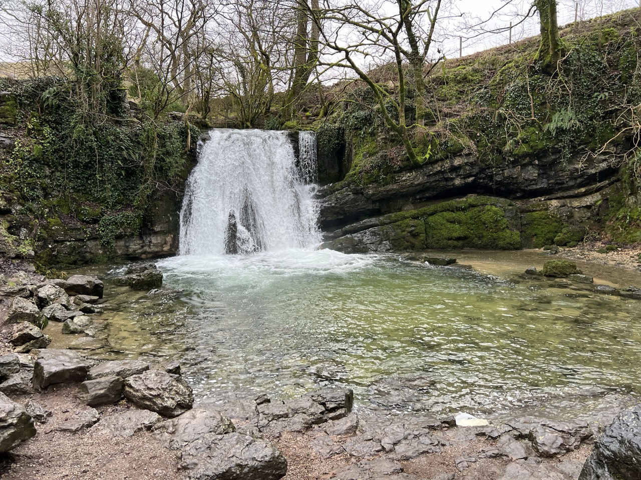
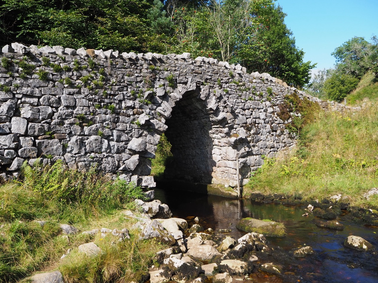
The clear waters of Janet’s Foss, Malham
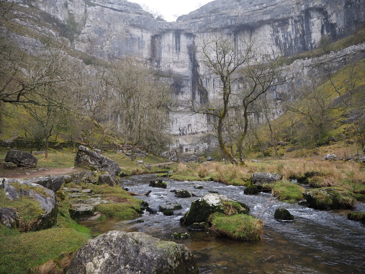
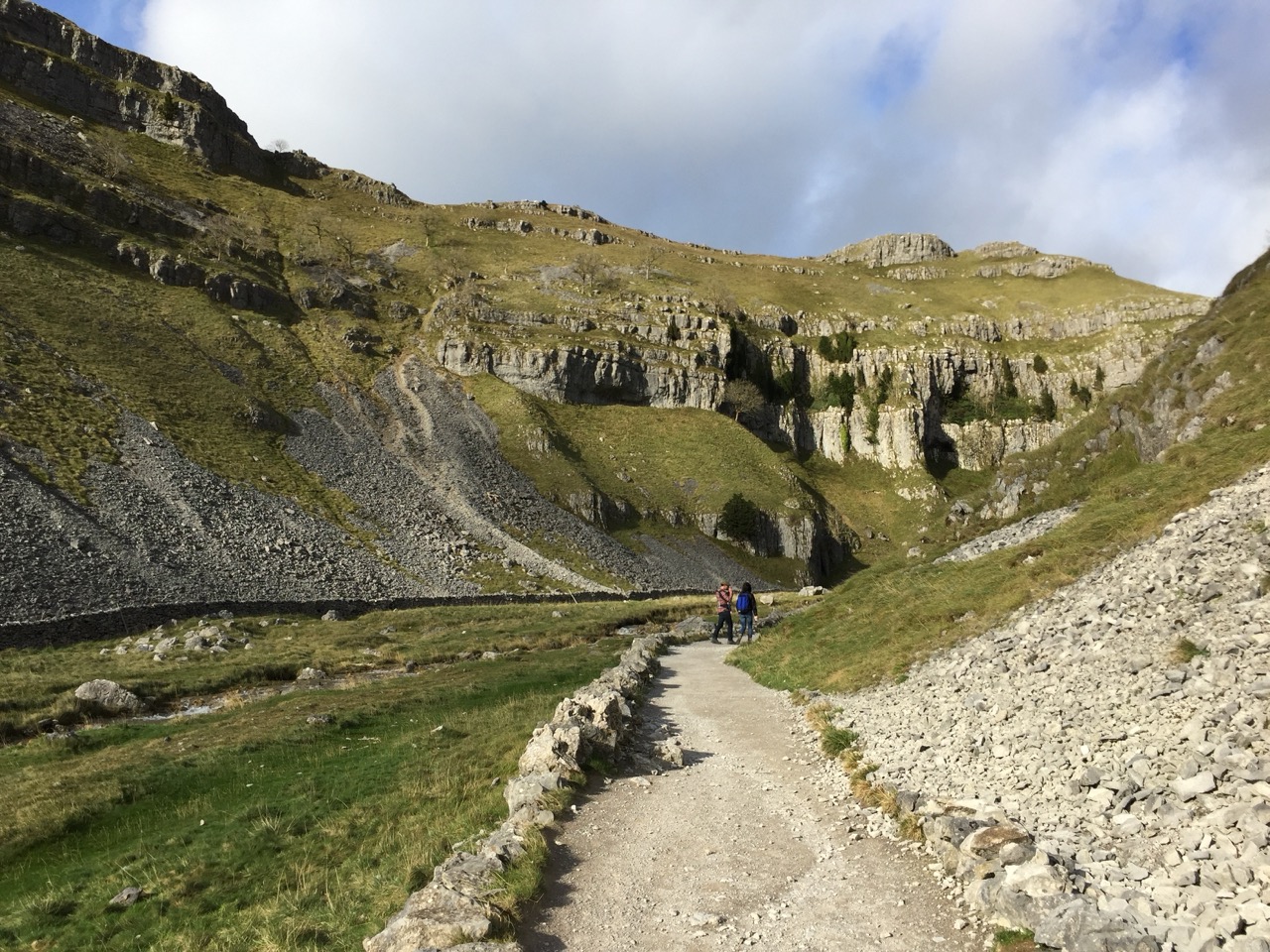
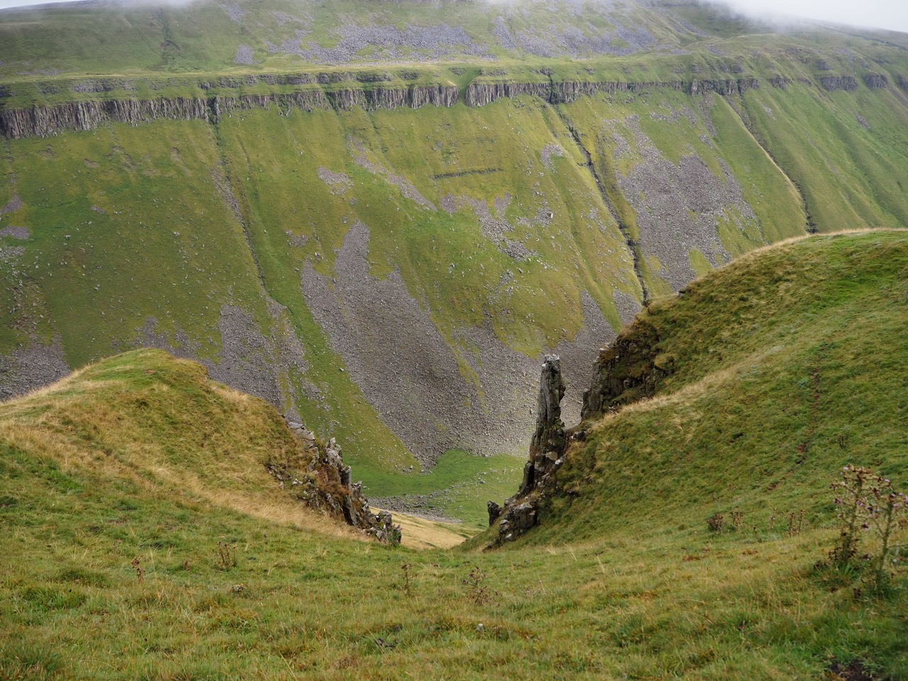
A slight detour to Goredale Scar, Malham. A must see on the Northern Trek
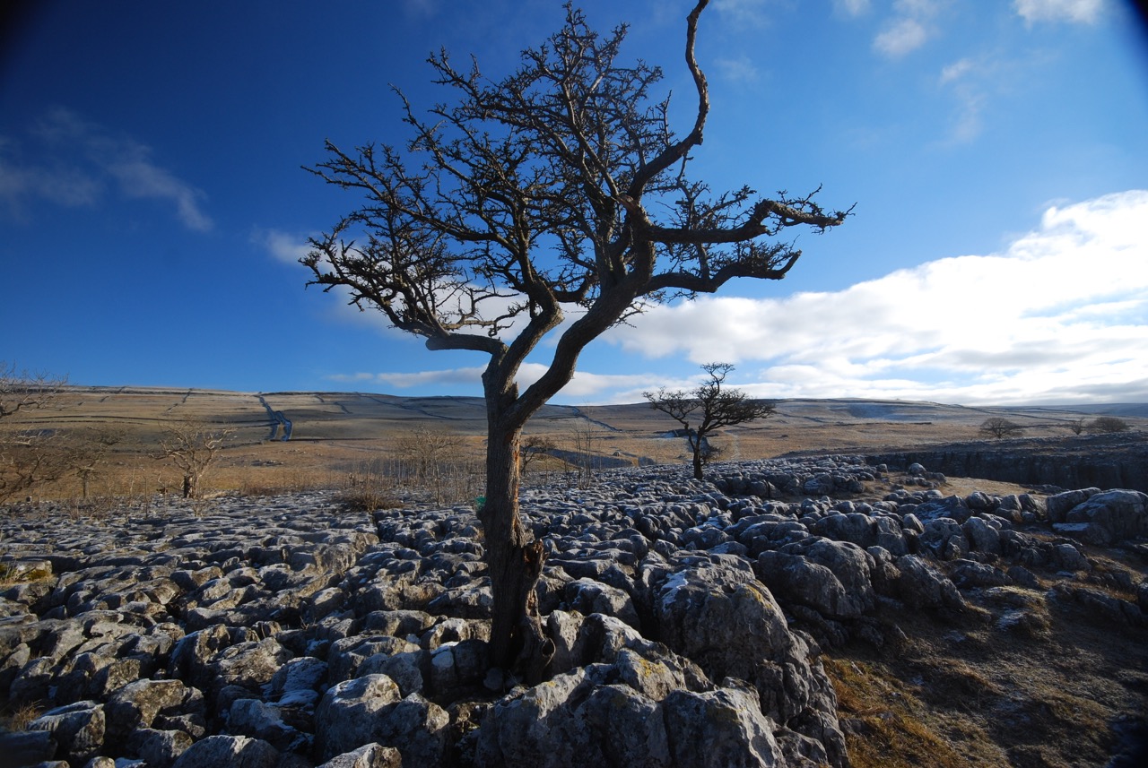
Malham Cove - Limestone Pavement
High Cup Nick
Low Force, Teesdale
Swimming at Low Force Waterfall, North Pennines
OS Explorer: OL2, OL30, OL19, OL31
or Harvey National Trail - Pennine Way North
6-8 Days
Downloadable route files in .gpx format for use on your GPS device or to use in your digital mapping software
 Gargrave To Alston