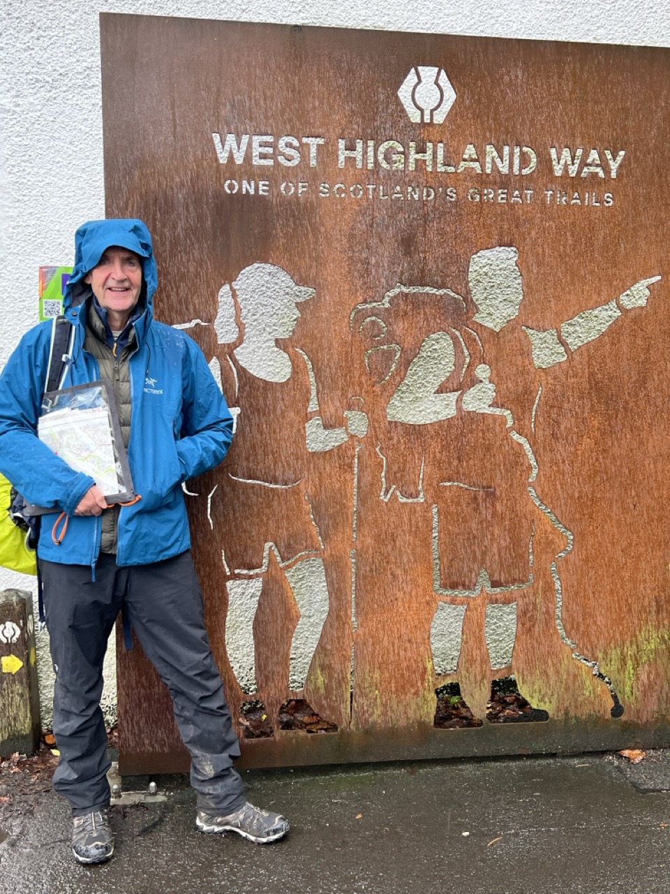
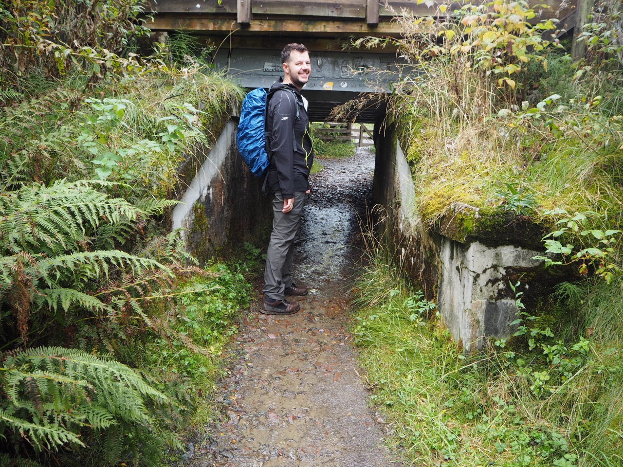

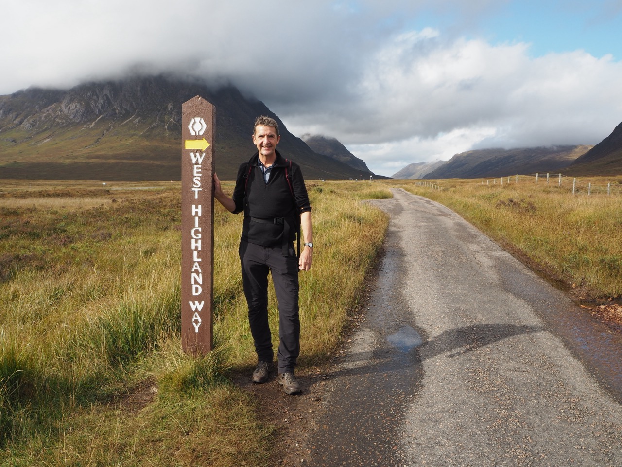
I originally walked this section in October with my eldest son Jules. There are many organised walking tours, with several companies, so it was relatively easy to arrange. We chose Macs Adventures after a friend had given them the thumbs up. We were not disappointed.
The West Highland Way has a very international feel which we both really enjoyed, with many Americans, Canadians, Australians and Europeans - particularly Dutch keen to share and compare their stories. For us, October was a carefully chosen month - the midges can be notorious in the Scottish summer months.
My Midge Tip
We lathered up daily, in sun cream and Avon Skin So Soft - a magical formulae which works brilliantly and neither of us got a single bite. Alternatively, use Jungle Formula maximum protection which is also excellent. However, my son said that, once I’d lathered up ‘I looked like I had just walked out of Madame Tussauds’.
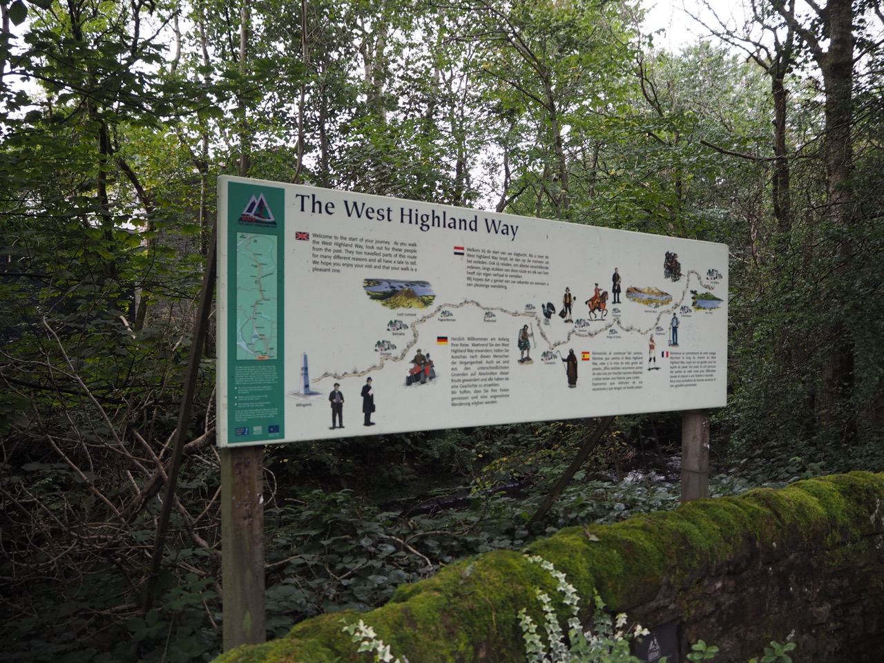
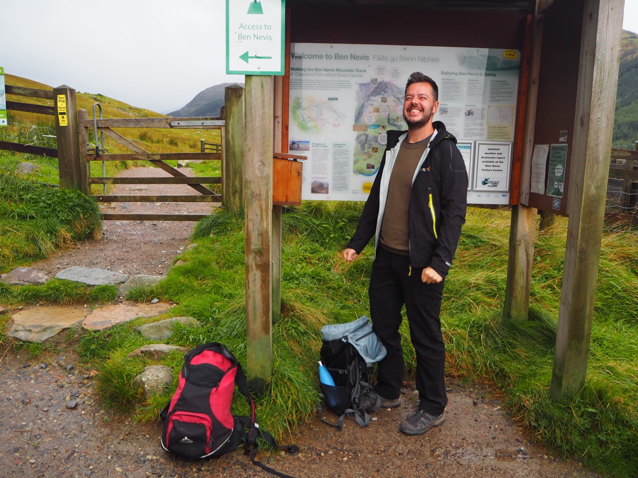
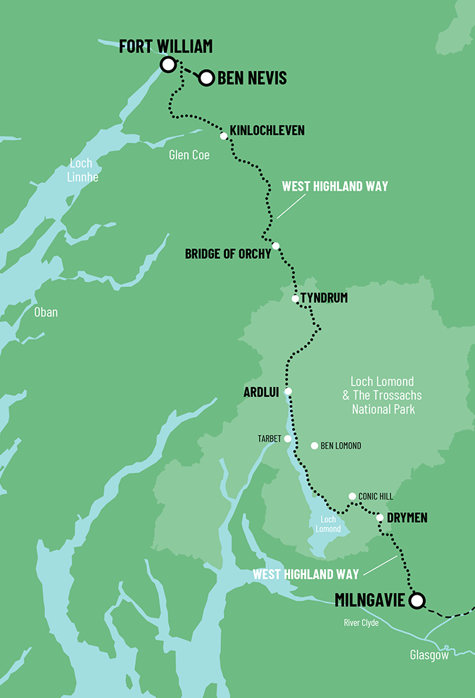
The start of The West Highland Way is just off the high street in Milngavie (pronounced Mulguy). Excitement is in the air as you walk past the steel posters with images of what lies ahead - posters of Ben Lomond, Rob Roy's Cave, nesting Osprey, Etive Moor, Kingshouse and the wilderness of Rannoch Moor.
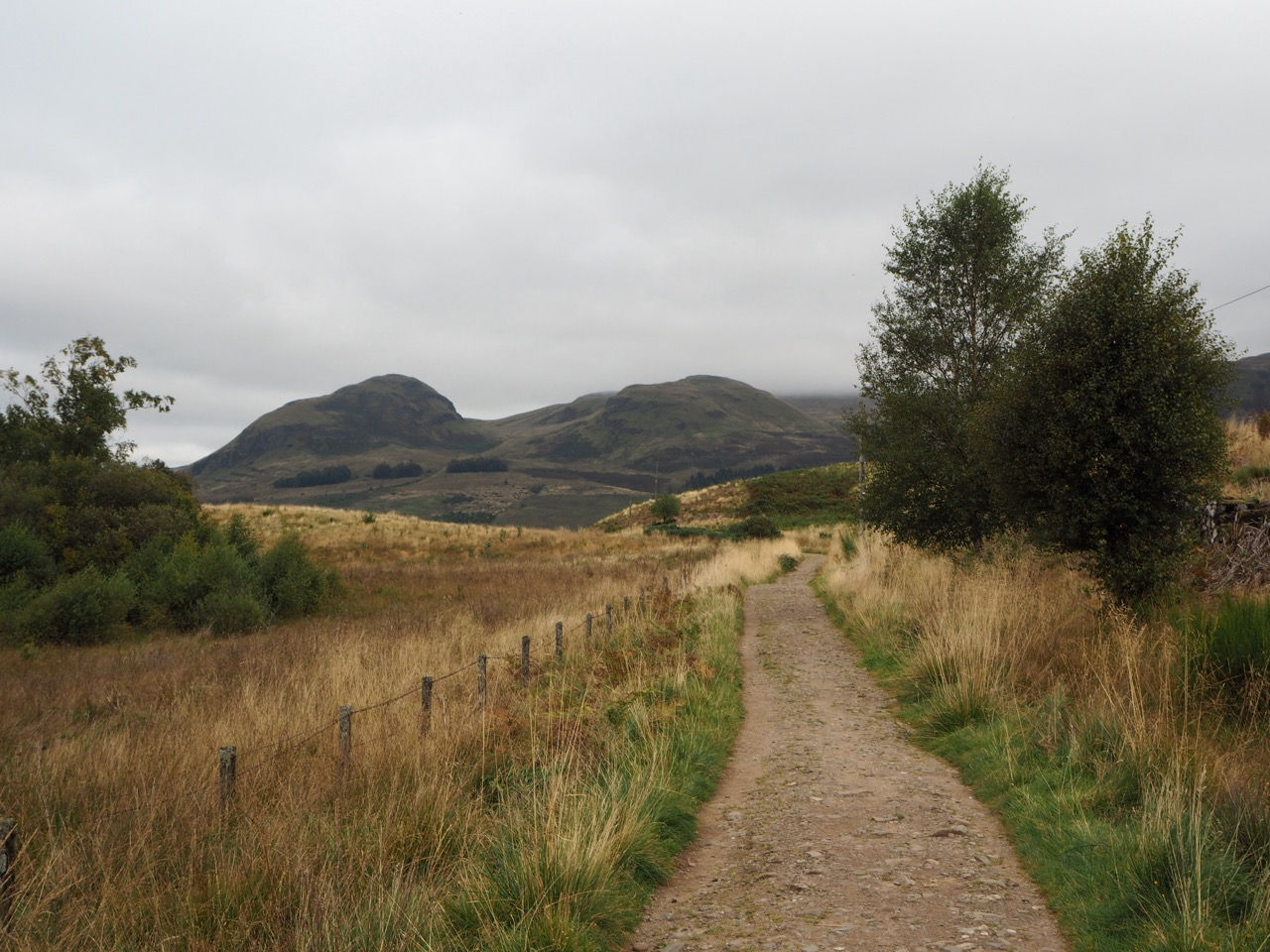
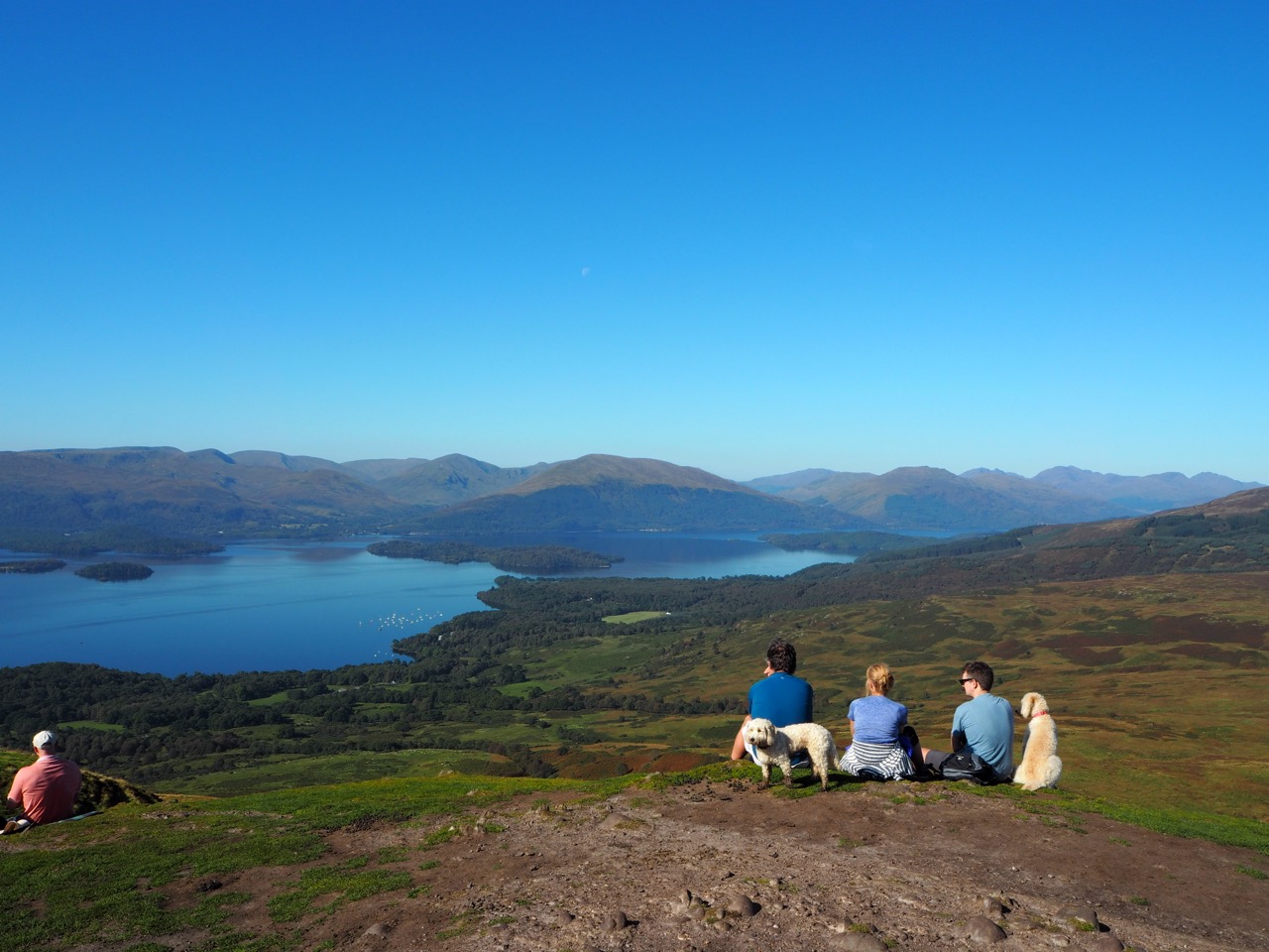
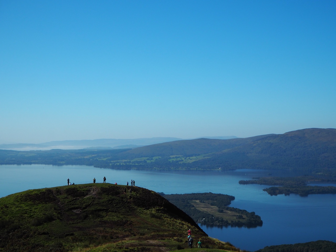
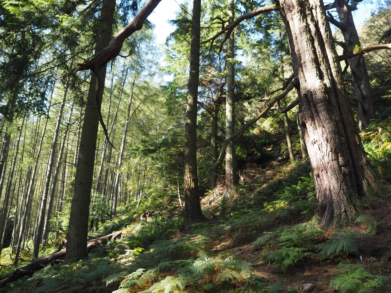
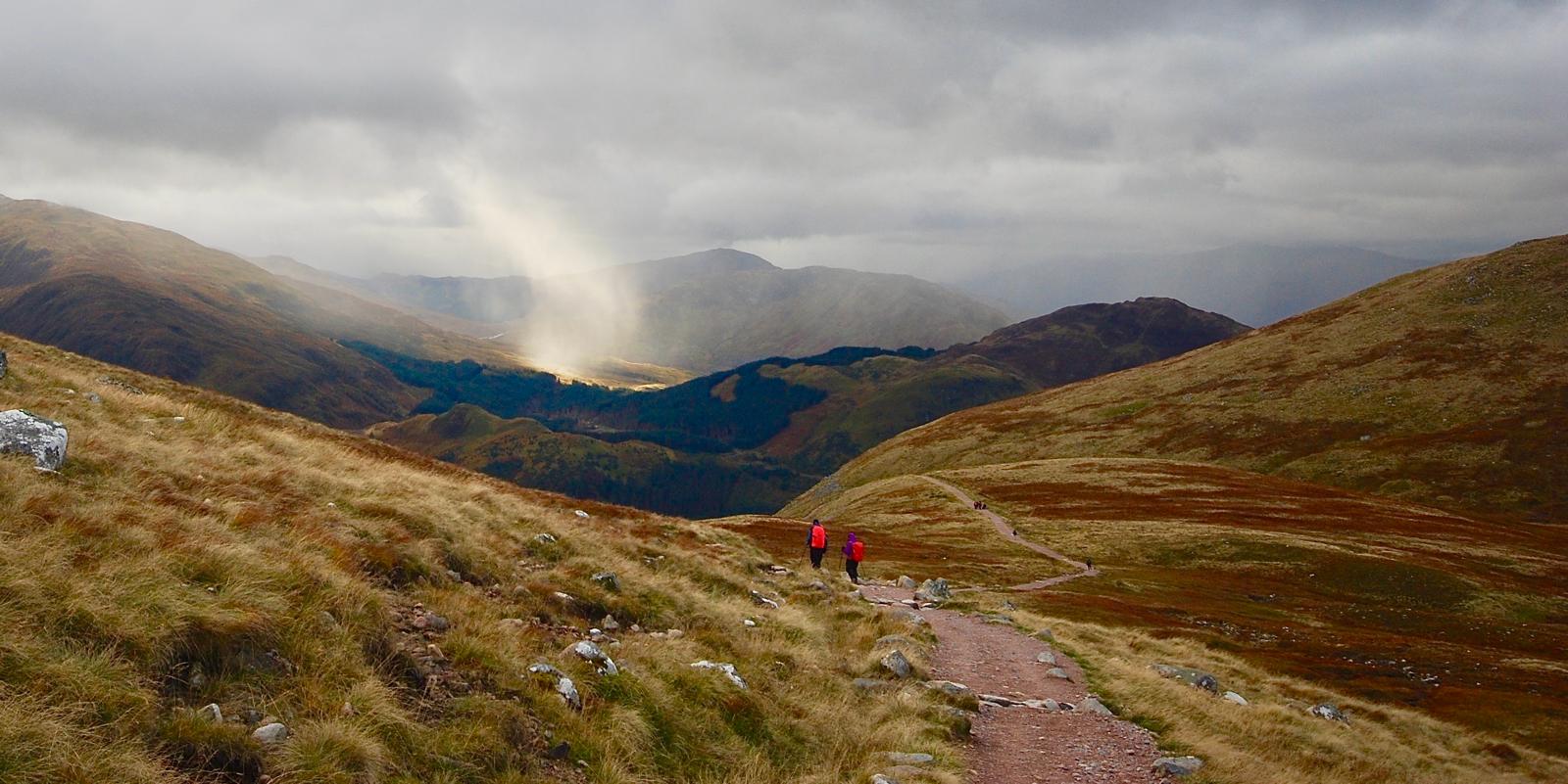
The first couple of days are easy walking through open countryside and past the Glengoyne distillery. Good walking days for getting into a rhythm. Through the fields and lowland forest to Drymen, before the climb up to the top of Conic Hill 1798ft (548m), which is the highest point on the entire West Highland Way.
It has one of the most beautiful vantage points anywhere on the entire Northern Trek, with views north to the Highlands, west to Loch Lomond and beyond to the Atlantic Ocean and then south into the official Lowlands of Scotland. A terrific summit and on a sunny day. It was certainly worth spending some time here, and we lingered for a good hour.
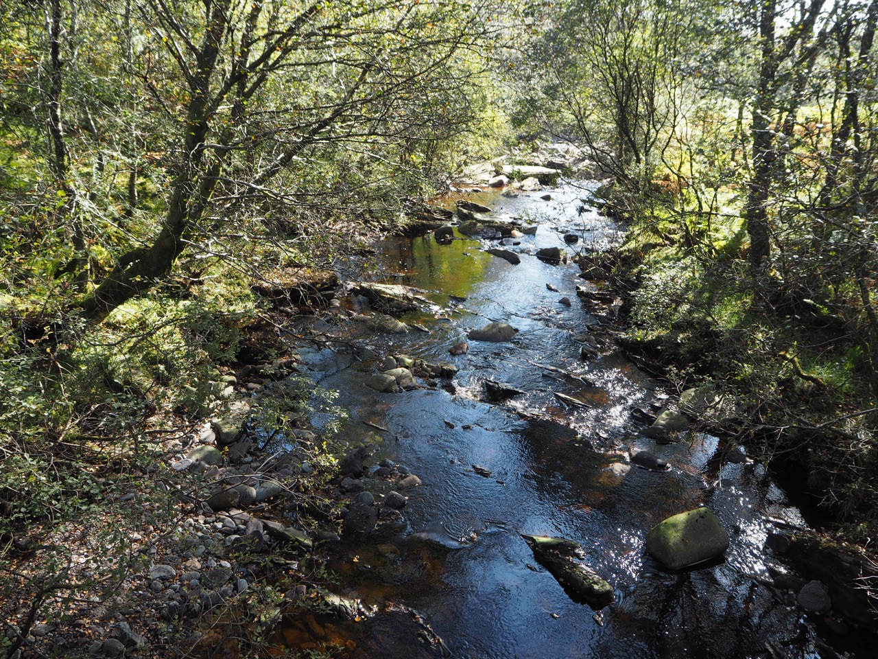
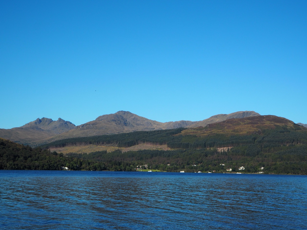
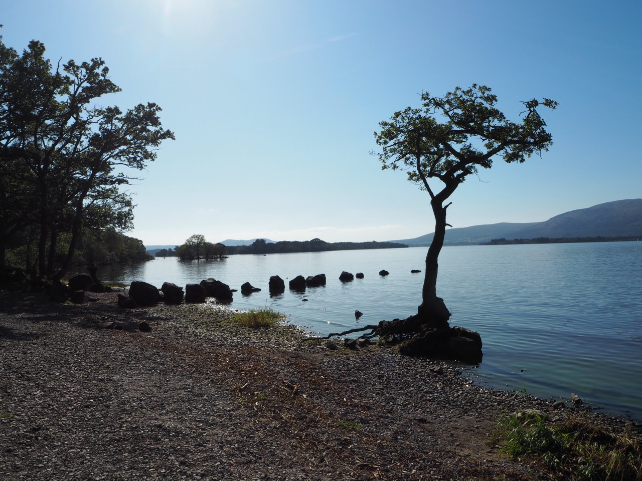
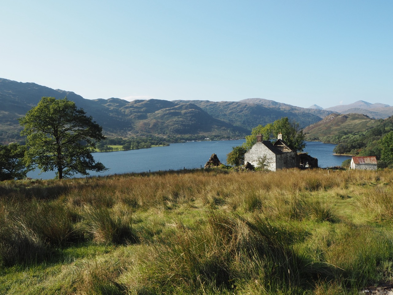
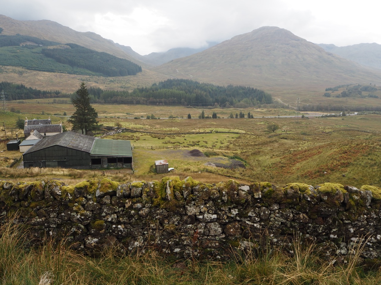
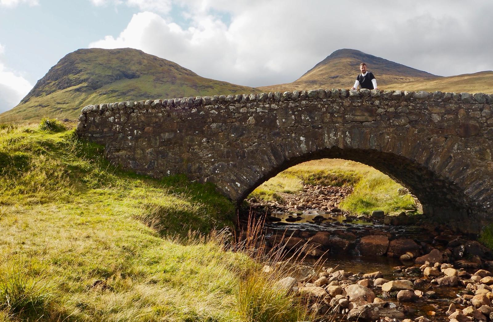
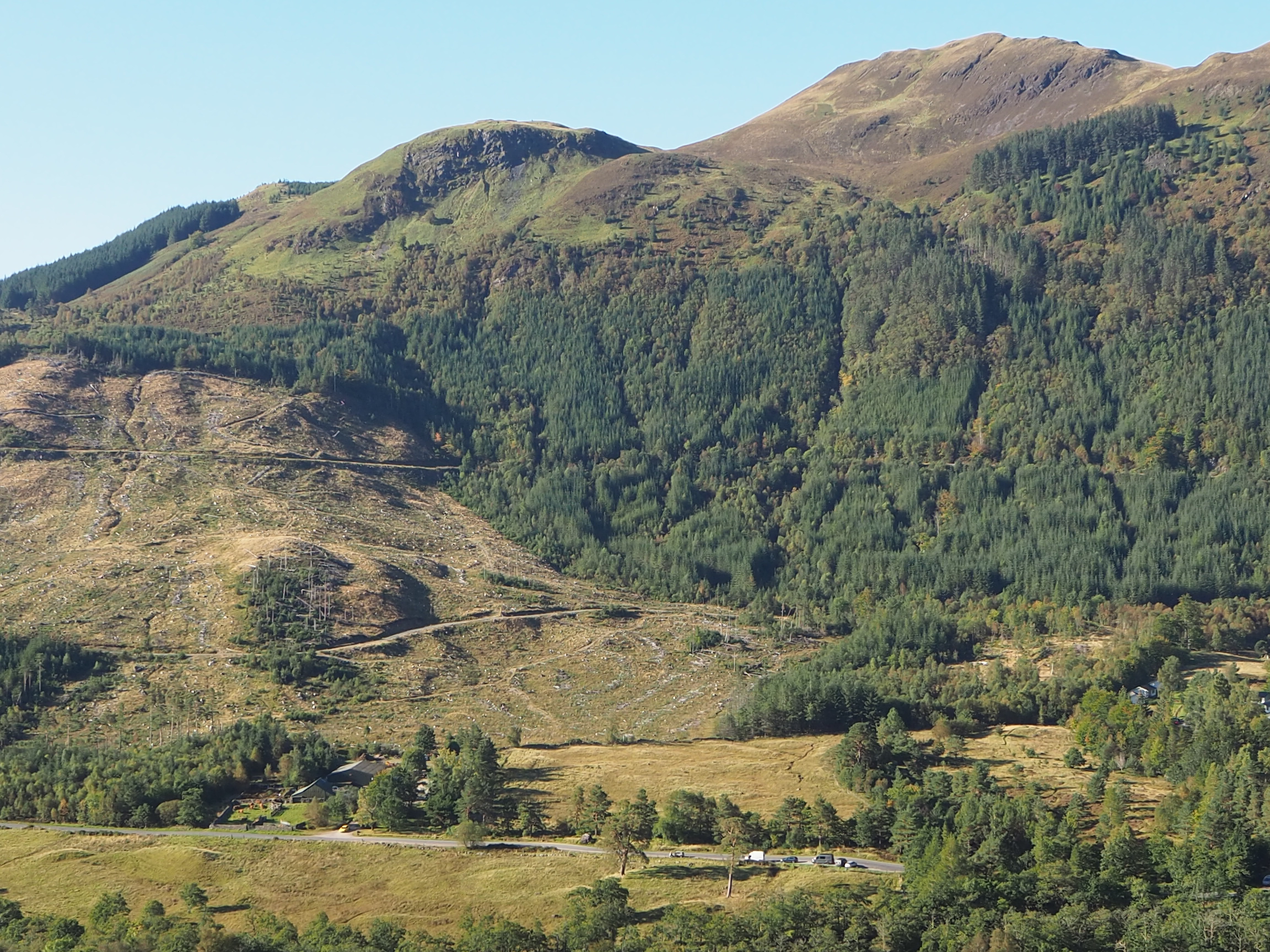
As with many sections of the walk, the paths were originally used as military footpaths and through the centuries for driving sheep and cattle on the road south. The path runs alongside Loch Lomond for several miles and through to the Trossachs National Park.
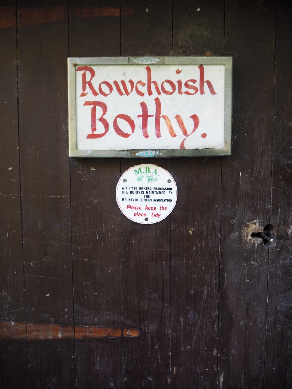
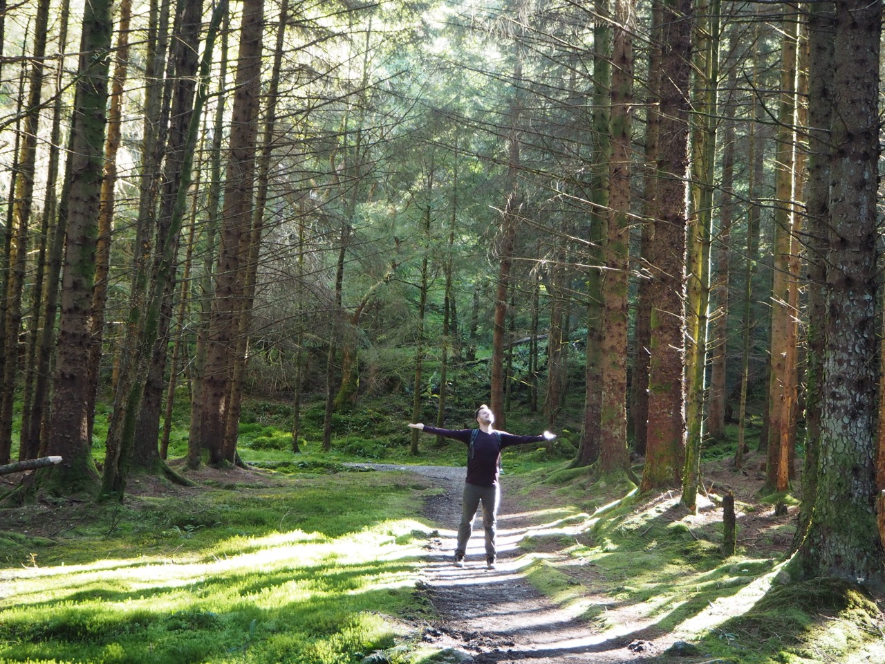
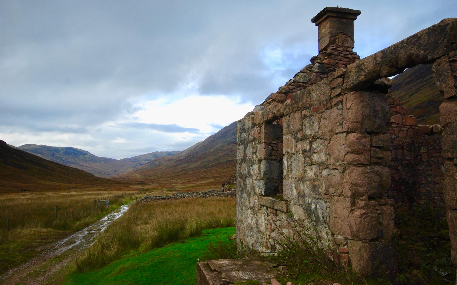
Near the end of the Loch, Jules and I share some of our thoughts on ‘Bothy's' and 'tree hugging'. I have always been fascinated by the Scottish Bothy - a place of rest fairly unique to Scotland. There are even books now published which feature over 100 Scottish Bothies. They are small buildings or shelters where the weary traveller can sleep, free of charge for the night. In Rowchoish Bothy which we visited, there were a couple of mattresses, a fire a stove and some tea and coffee. Bothy’s are remarkable places and always worth a visit. They have a wonderful atmosphere of travellers passing through.
Just outside the Bothy my son decided to reciprocate our new experiences, and introduce me to 'tree hugging'. On the first tree I didn't experience anything at all, so Jules suggested that "I try another one". On the second tree, I placed my arms around the trunk, and felt something immediately, as though the tree was talking to me - passing messages to me. A feel good factor for sure. It really was a wonderful experience which is hard to describe. Try it and see for yourself.
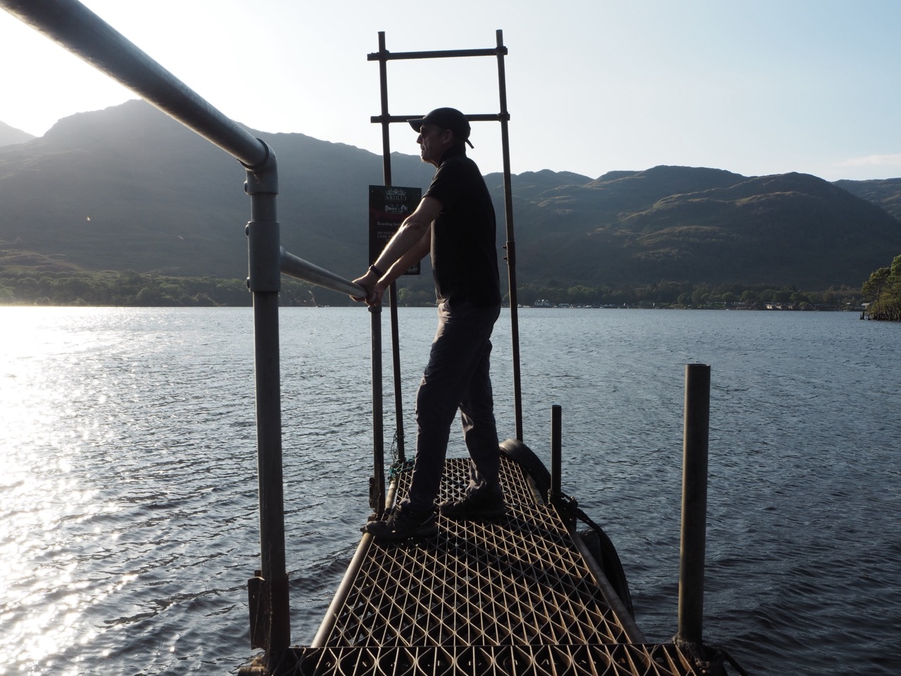
Our day ended wonderfully. On arrival at the loch side we were ‘told’ by our guidebook to hoist the metal ball and 'call the ferry'. There seemed to be no one around at all, but then across the loch there was some movement and a small boat appeared from nowhere crossing the loch to collect us, and take us back to The Ardlui Hotel for our night's rest. A lovely experience.
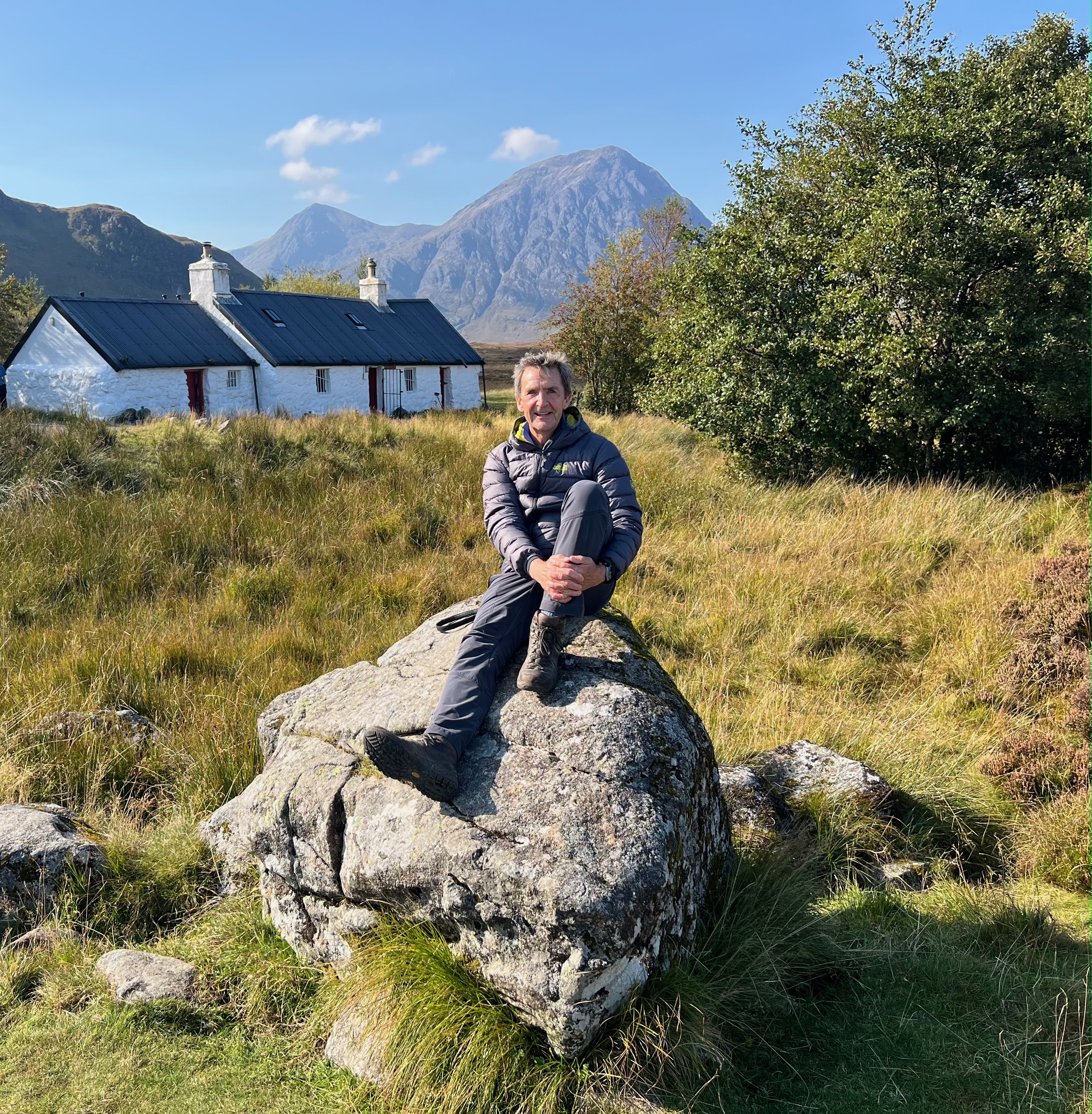
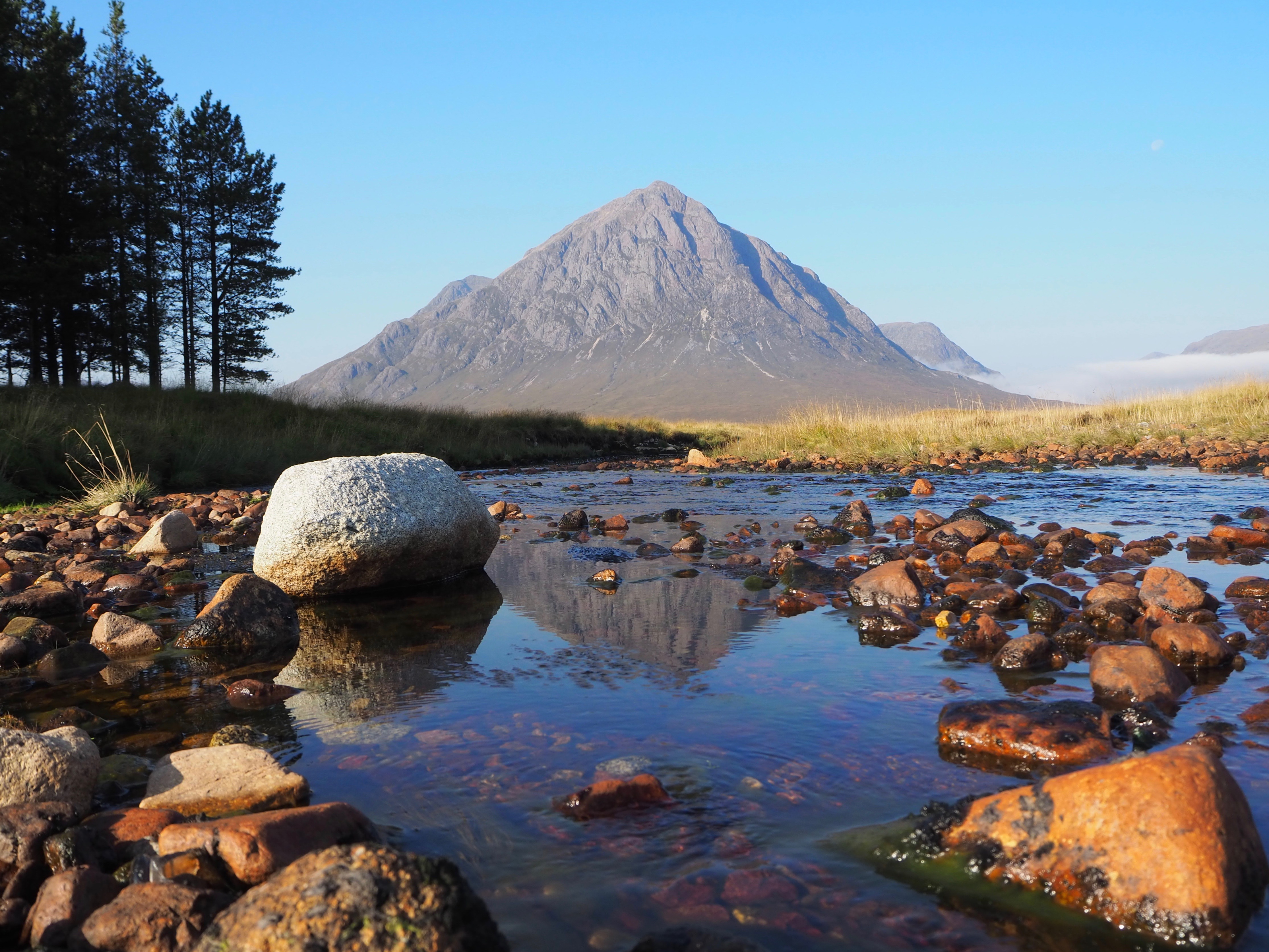
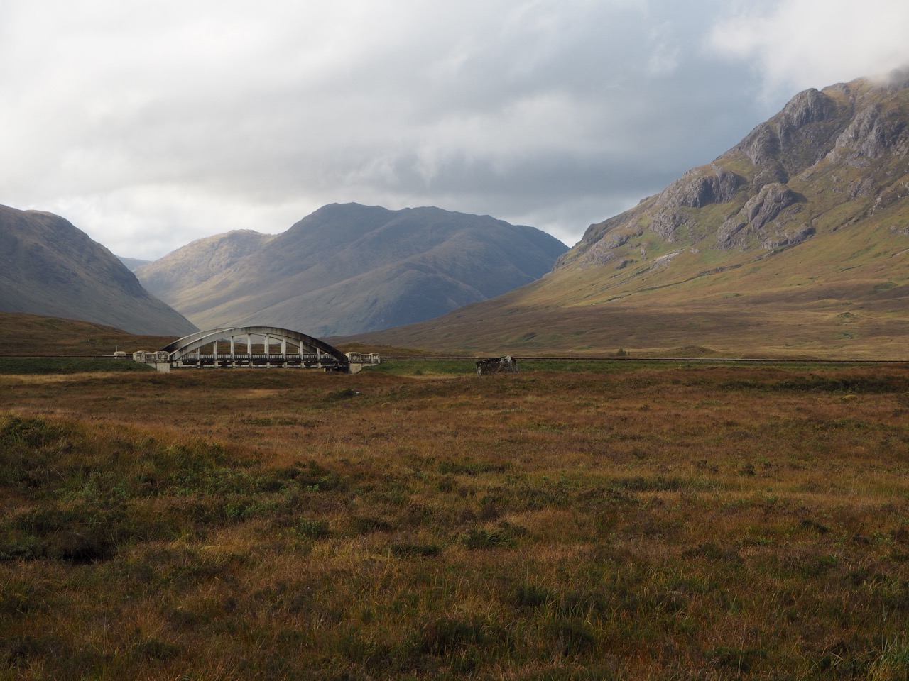
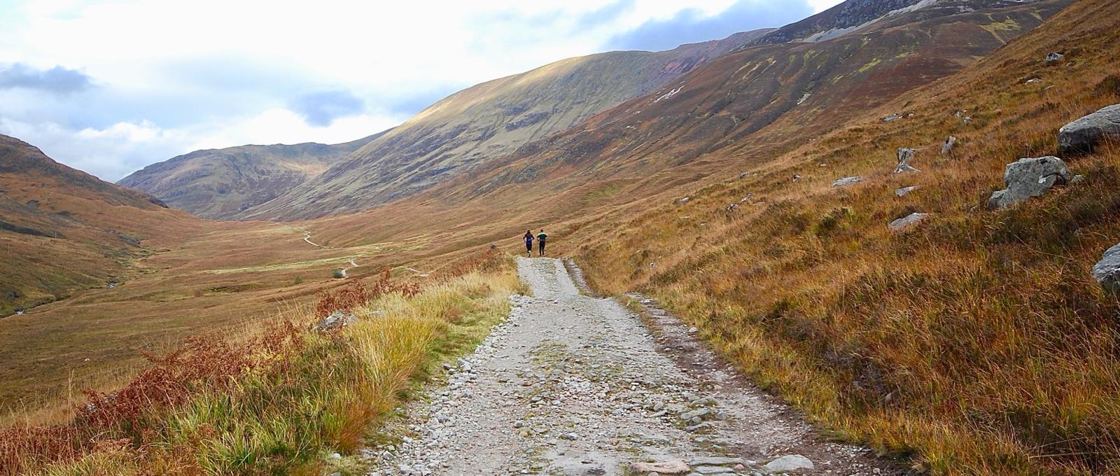
The following day, it was back in the boat after breakfast and back on the trail. We continued through Inverarnan, to Bridge of Orchy and over the wild and remote Scottish moorland to our next hotel. The old military road passes the beautiful and well photographed Blackrock Cottage - an iconic symbol of Scotland, surrounded beyond by the wilds of Rannoch Moor.
We stayed at the recently refurbished Kingshouse Hotel, which had been described to us, as probably the best hotel on the entire walk. If you get a chance to stay here, then please do. It didn't disappoint. This hotel was my favourite place to stay on the entire Northern Trek. Luxury for our aching limbs for the night.
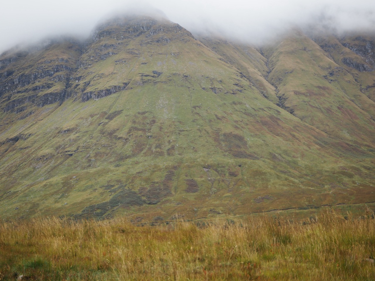
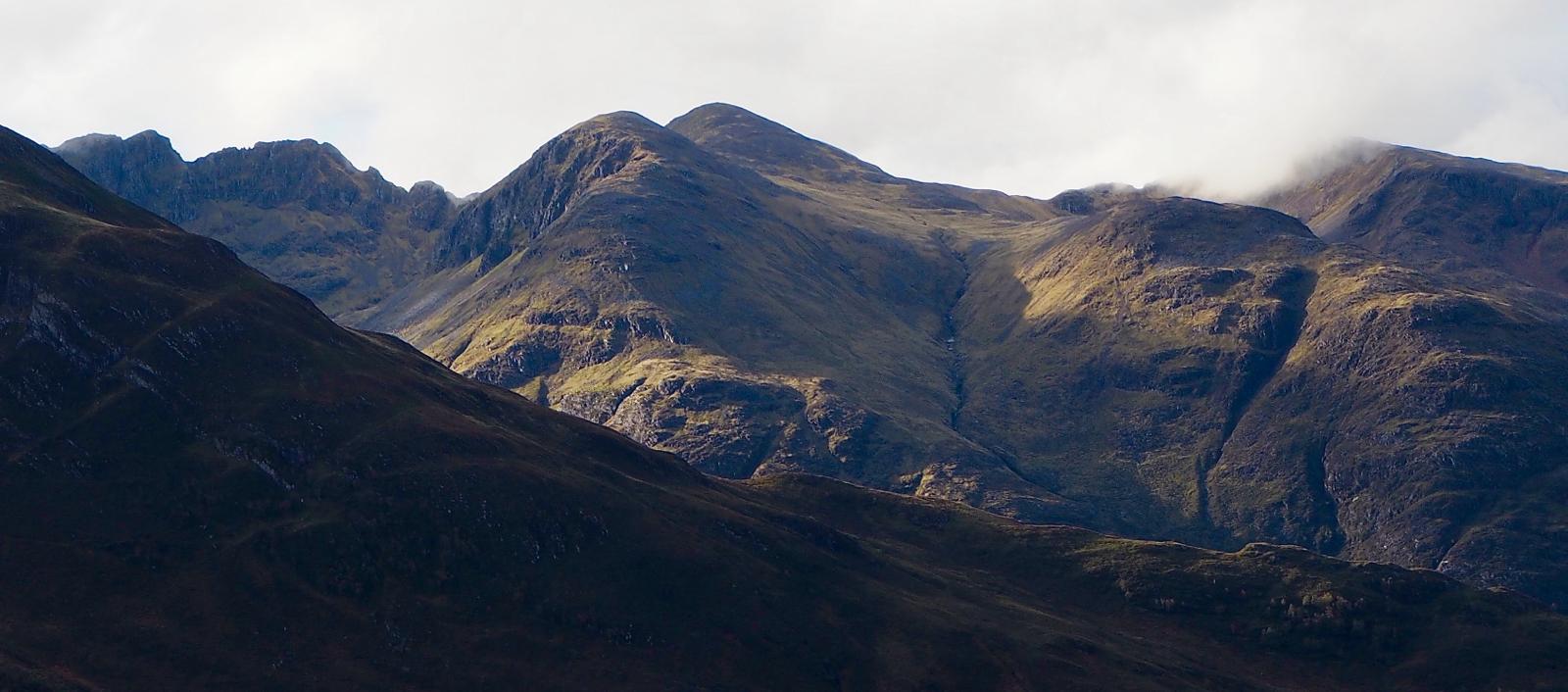
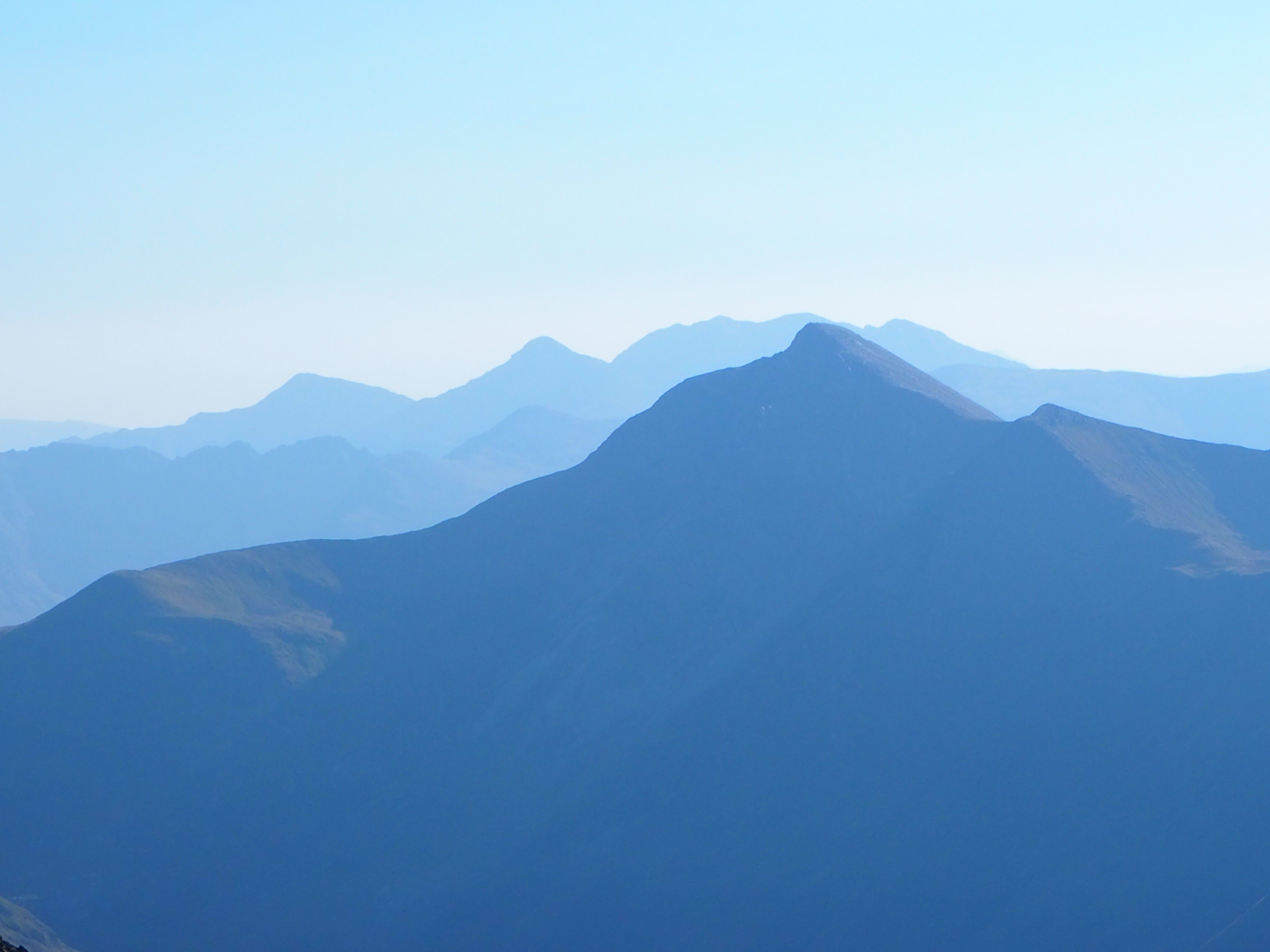
The mountains here, on both sides rise up to well over 3000ft. A magnificent and awesome place of near vertical black rock. Both daunting and wonderful at the same time.
The road trip through Glencoe to Fort William is equally stunning.
With wonderful Scottish names like Stob Dearg, Am Bodach, Stob Coire Leath and Sgorr nam Fiannaidh rising above. Try to pronounce them to a local, and I'm sure that you will be quickly corrected on your pronunciation!
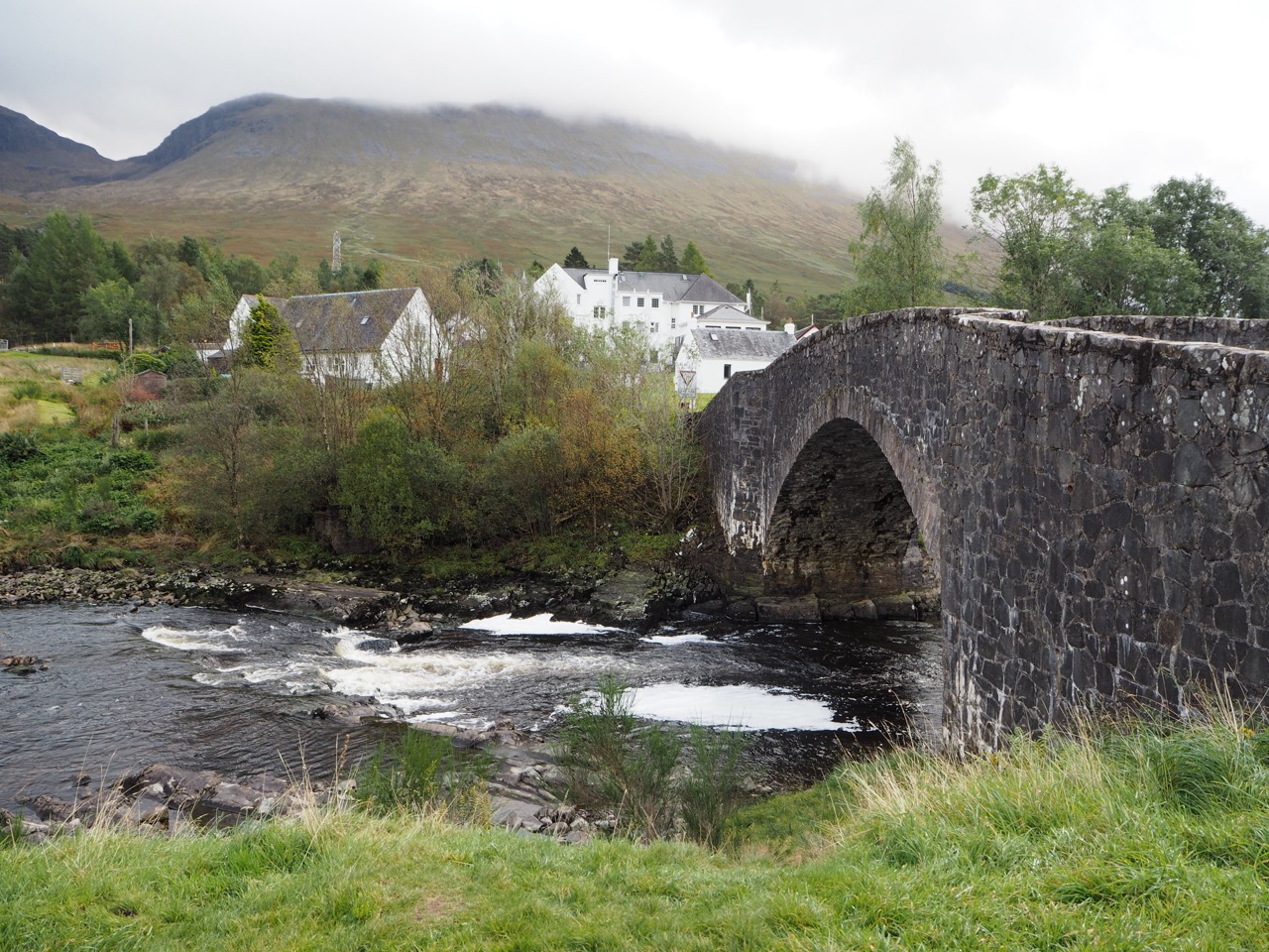
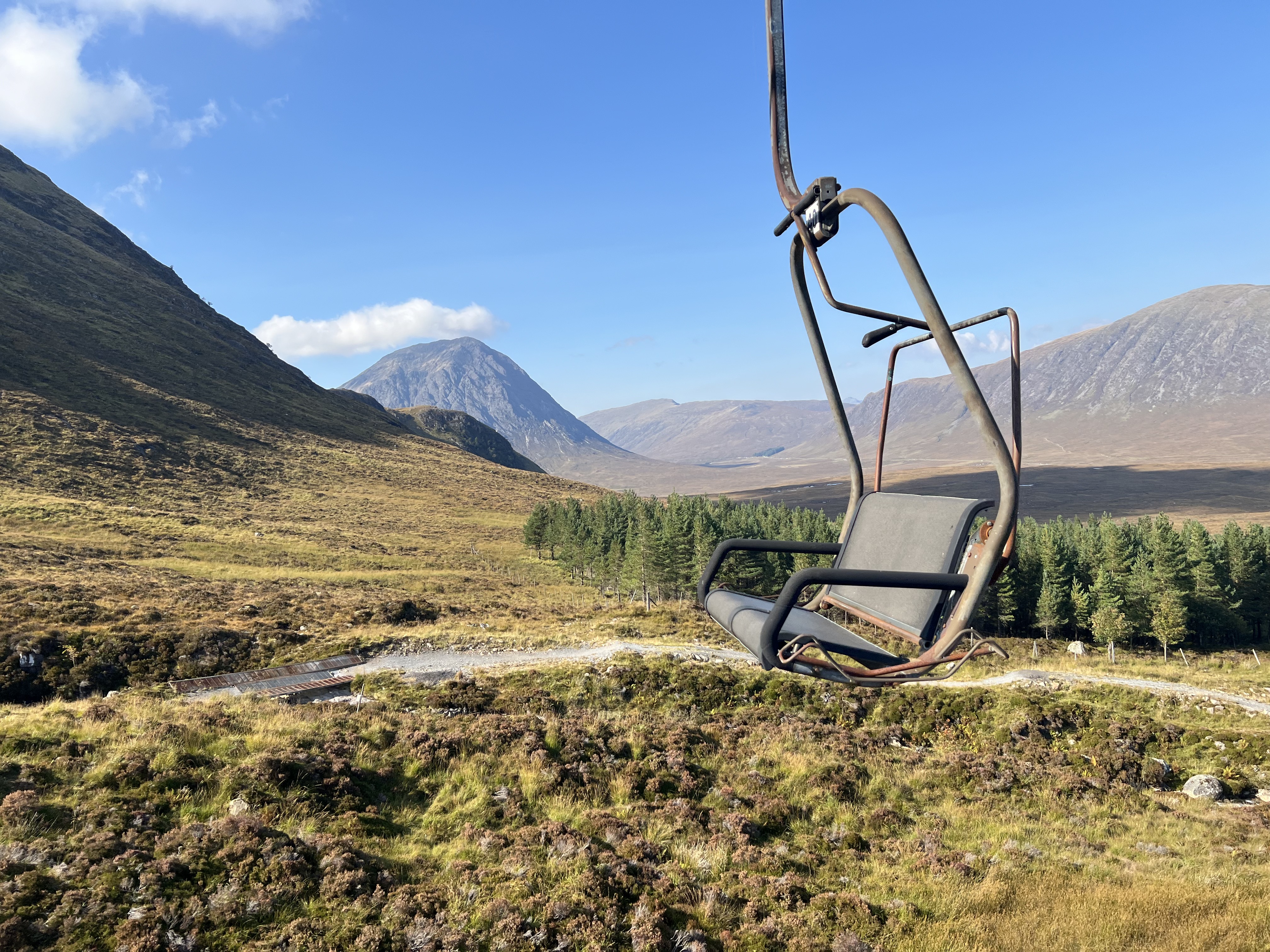
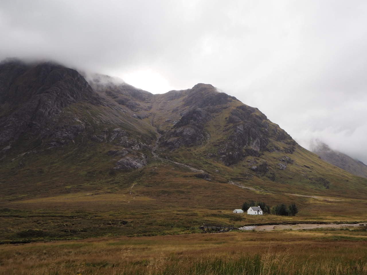
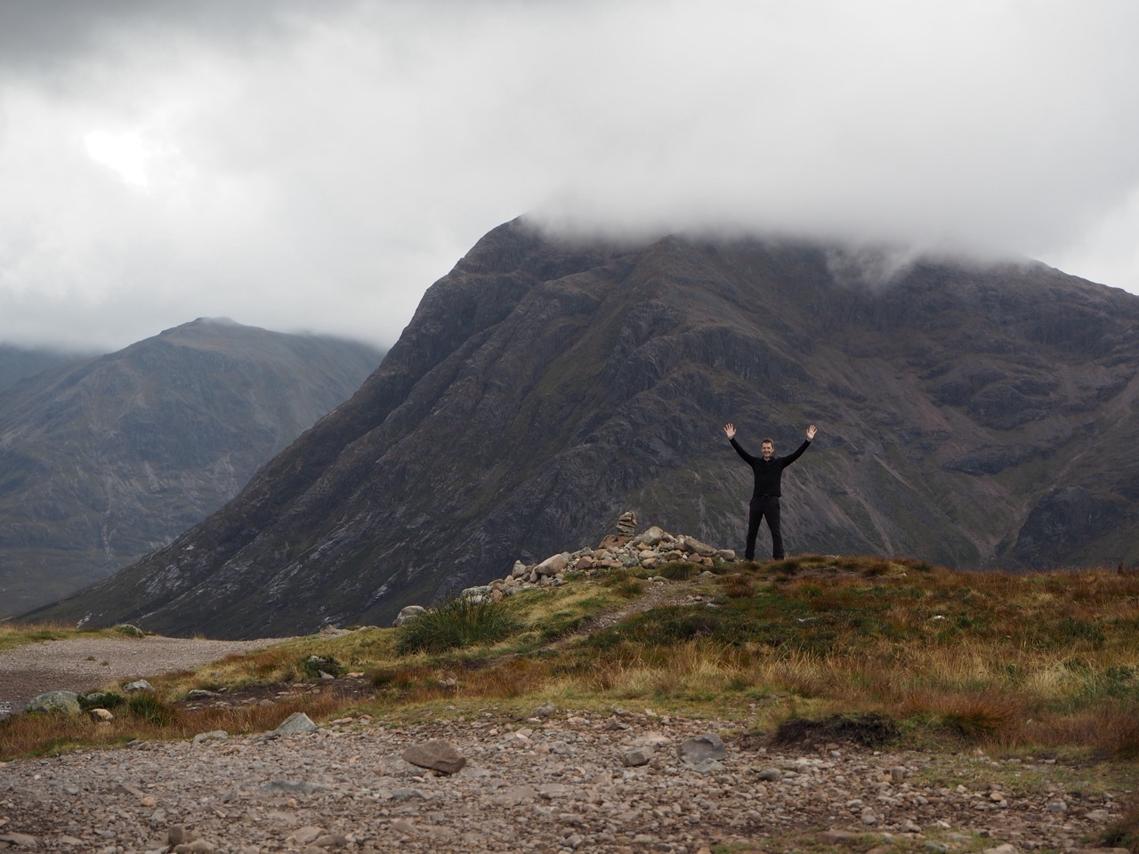
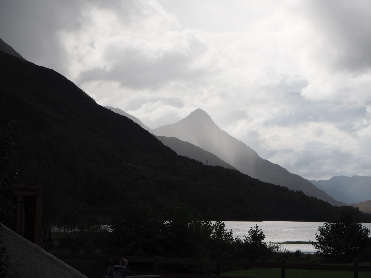
But do not worry by the size of these mountains rising above you, The Northern Trek follows the valley through this range and the path ahead is well walked and easy to follow. From Kingshouse, the footpath climbs the Devil’s Staircase, which in truth is a relatively easy climb, with views back over the tops and down to Kinlochleven. We stayed at the side of the loch for the night, at the MacDonald Hotel.
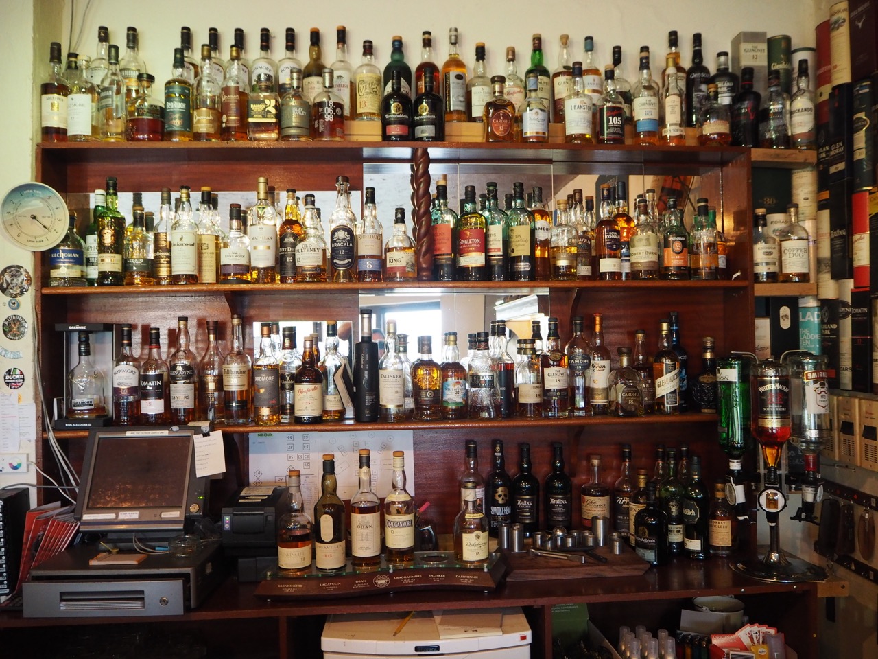
It had one of the simplest of all whisky displays behind the bar. An A-Z of all its Scottish whiskies. Top left to bottom right. 5 prices only - based on age. That will do nicely. I’ll have a double Lagavulin.
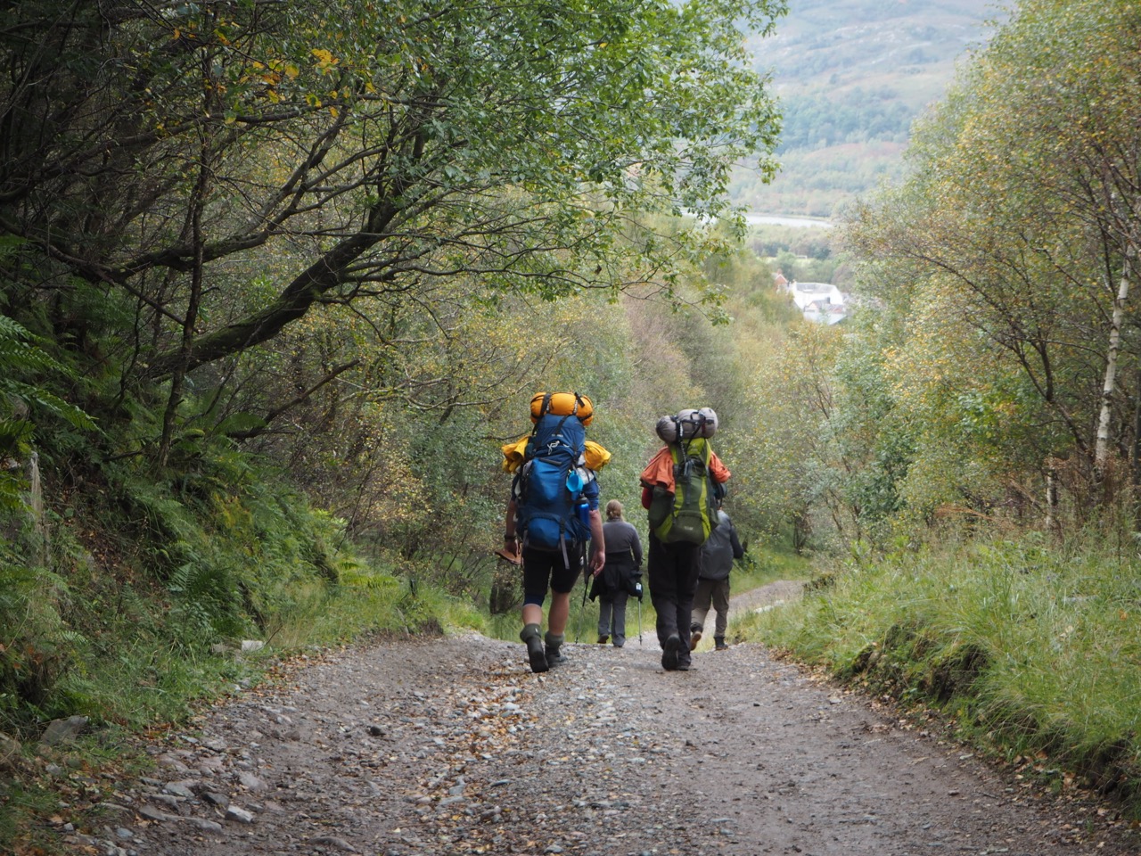
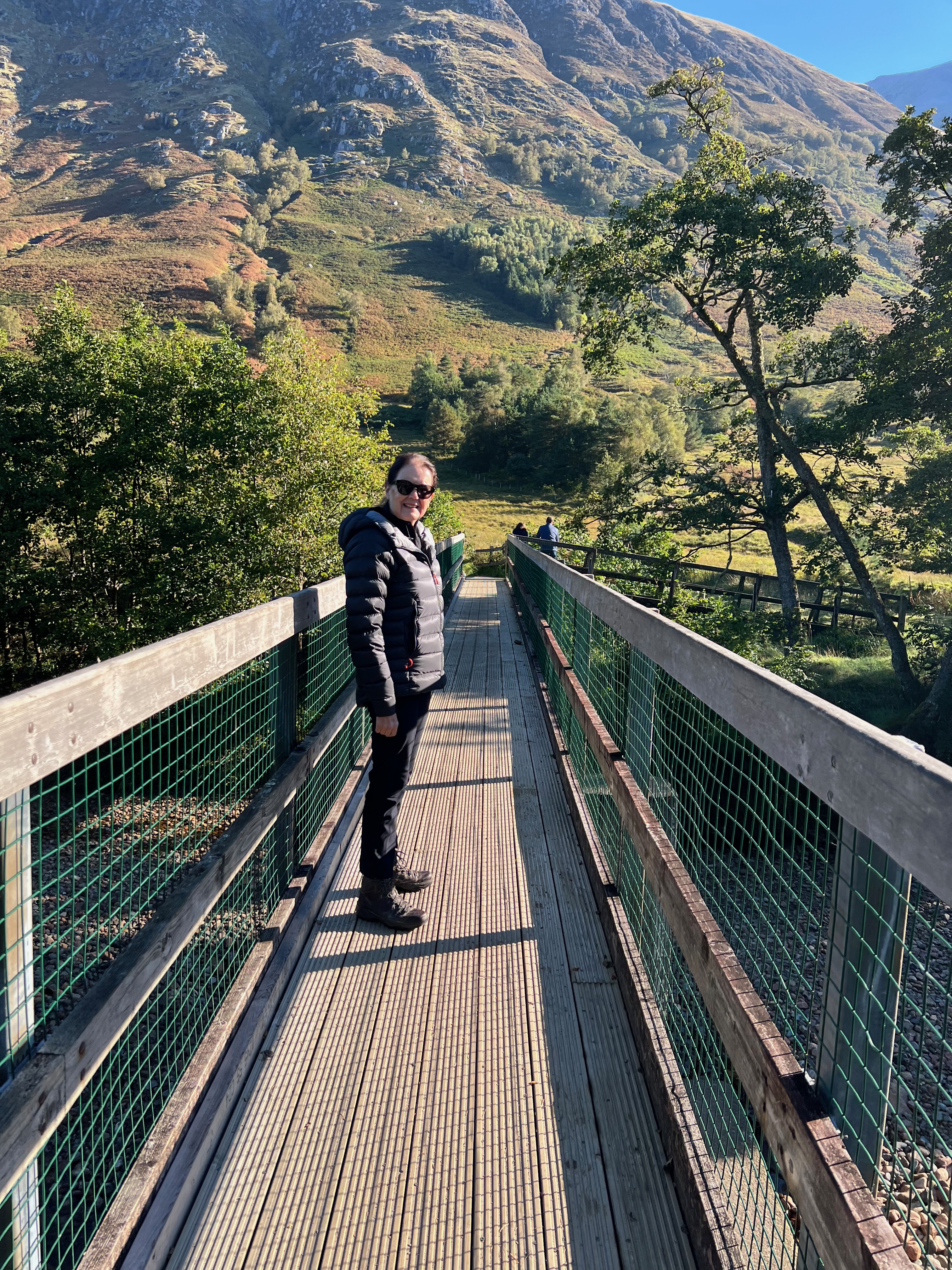
I've walked the last section from Kinlochleven to Fort William a couple of times - it's a very popular day walk and it's easy to see why. The view back across the loch, was later to become my inspiration for The Northern Trek logo. The walk then follows a lovely valley trail, an old military road, with the peaks of Stob Ban, and Sgurr a Mhaim rising above. And then, up through a small forest and the mighty Ben Nevis can be seen for the first time.
Rising majestically above the valley and topped with snow. The highest mountain in the UK at 4418ft (1344m). That feeling that the finish is close at hand, is now with you.
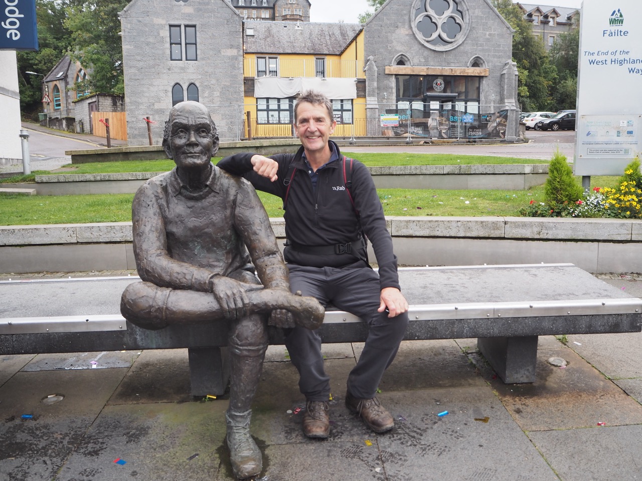
But first it's down into Fort William (the unofficial capital of the Highlands) to the finish of The West Highland Way, for the obligatory photograph on the bench with the now famous statue 'The Man with Sore Feet'!. It has to be done.
And then it's off to celebrate with the many revellers who have now completed the West Highland Way. Let the noise and jubilation of these walkers and backpackers be your guide for the evening ahead. My son and I still have further business to complete - to summit Ben Nevis.
Just a personal point of view
Ok it may be just me. But the official definition of a mountain is anything above 2000ft. For me this is just too low. 3000ft is a mountain. 2000ft is a fell.
This leads me to the last part of this section...
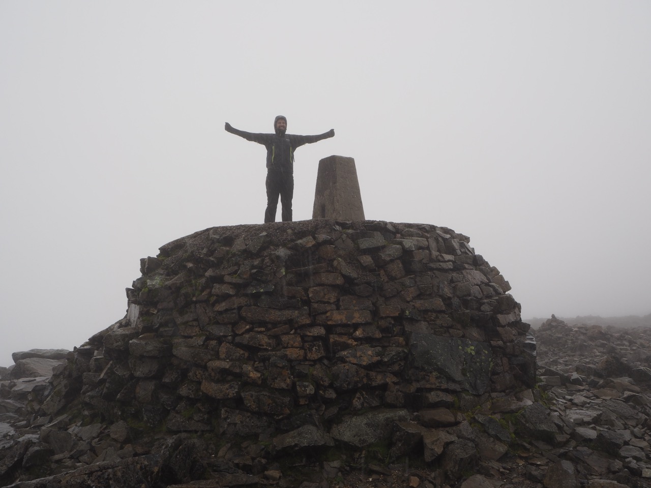
Ben Nevis is the highest mountain in Britain at 4418ft (1344m). Lovingly known by locals as ‘The Ben’.
In summer it can be a relatively easy but long climb (4 hours up, 3-4 hours down).
The most popular route is the zig zag path, also known as the Pony Track. From the summit the views across Scotland's great mountains are truly awesome. However in Winter, it is best avoided, unless you are a seasoned walker, accustomed to snow, ice and low visibility. My own tip is to climb Ben Nevis in the Spring or Summer for calmer conditions.
The summit is cloudy on nine days out of ten. It can snow on any day of the year and the average mean temperature on top is just below freezing. So please pick your day carefully. Always carry winter clothing including hat and gloves.
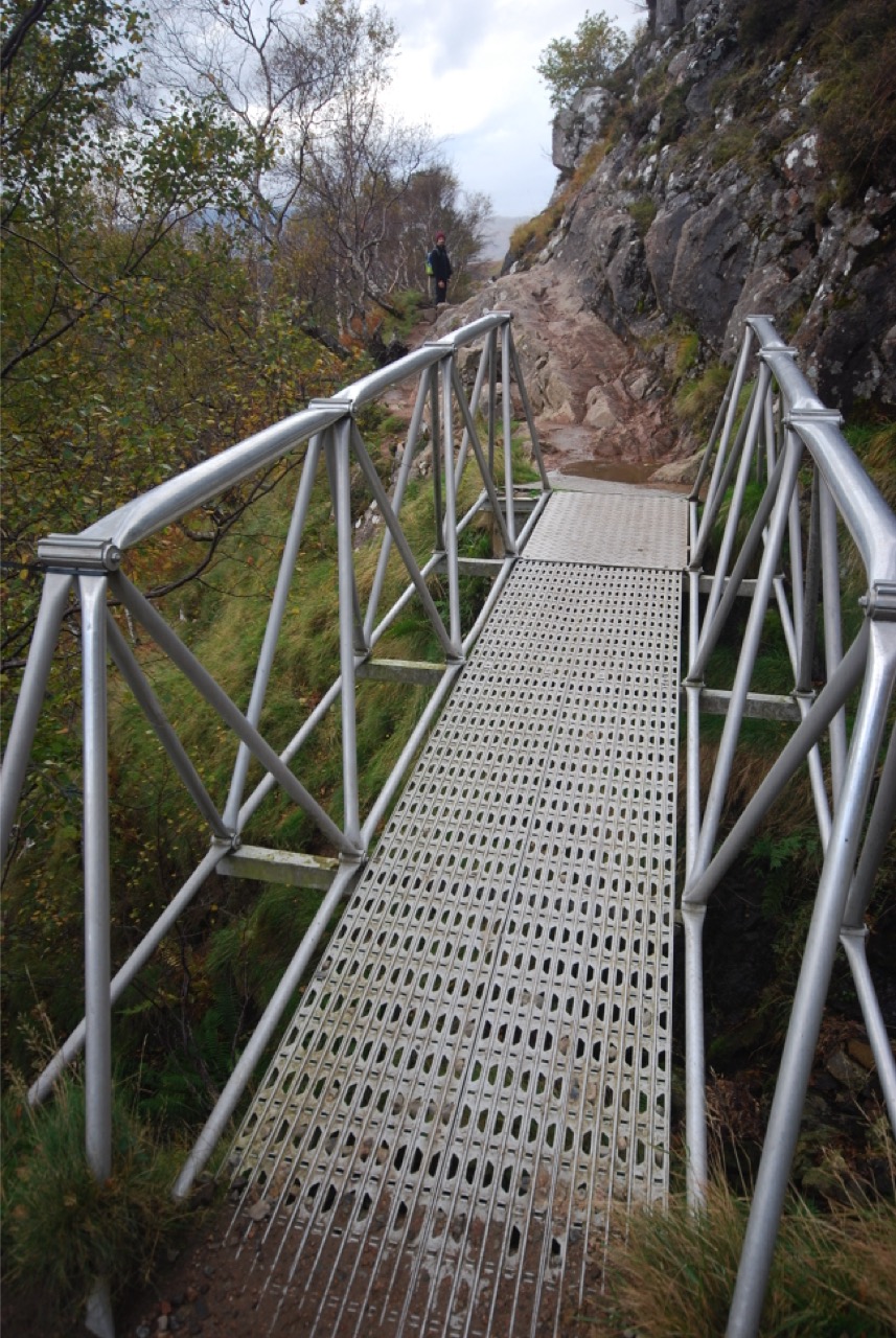
The Pony Track is the safest and most popular route to the top. However, prepare yourself for a long uphill climb! There is no let up. There are no flat sections apart from, very briefly, on the top. Wear heavier boots if you can, as the route is both rock, stone and scree all the way. There is also no tree cover or vegetation so the route is very exposed to the elements.
Start from either of the two car parks at the Visitor Centre or from Achintee House. There is free parking on the road side near the Youth Hostel. The path is easy to follow and clearly marked. The first 1000 feet (304m) is both steep and quick to climb. The terrain flattens briefly by the loch (Lochen Meall an t-Suidhe) but soon begins to rise again with wonderful views back to Fort William and Glen Nevis.
The route zig zags steeply from about 2,100ft (650m). Its an uphill slog - there is no better way of describing it. In summer it should be straightforward. But in Winter it can be treacherous and the path will probably be covered by snow or ice.
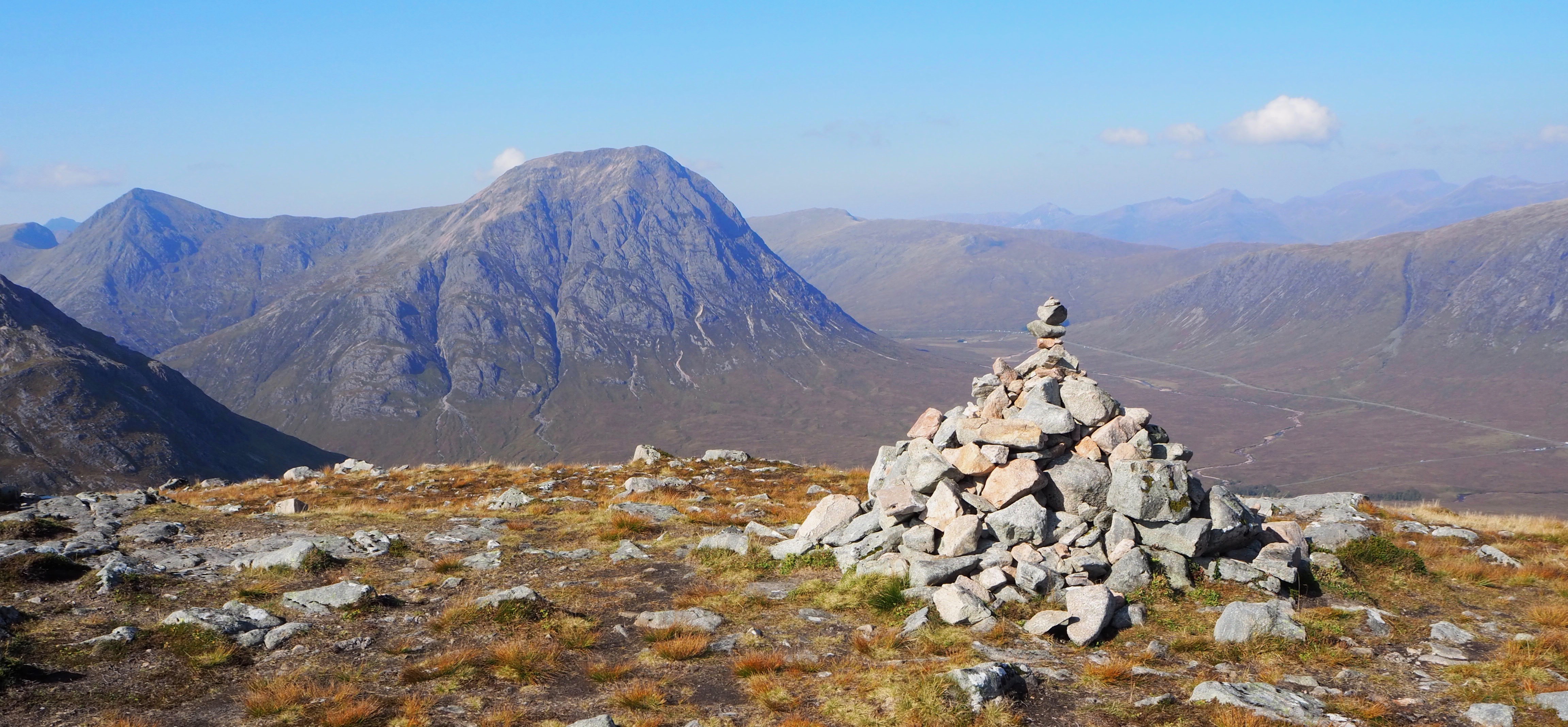
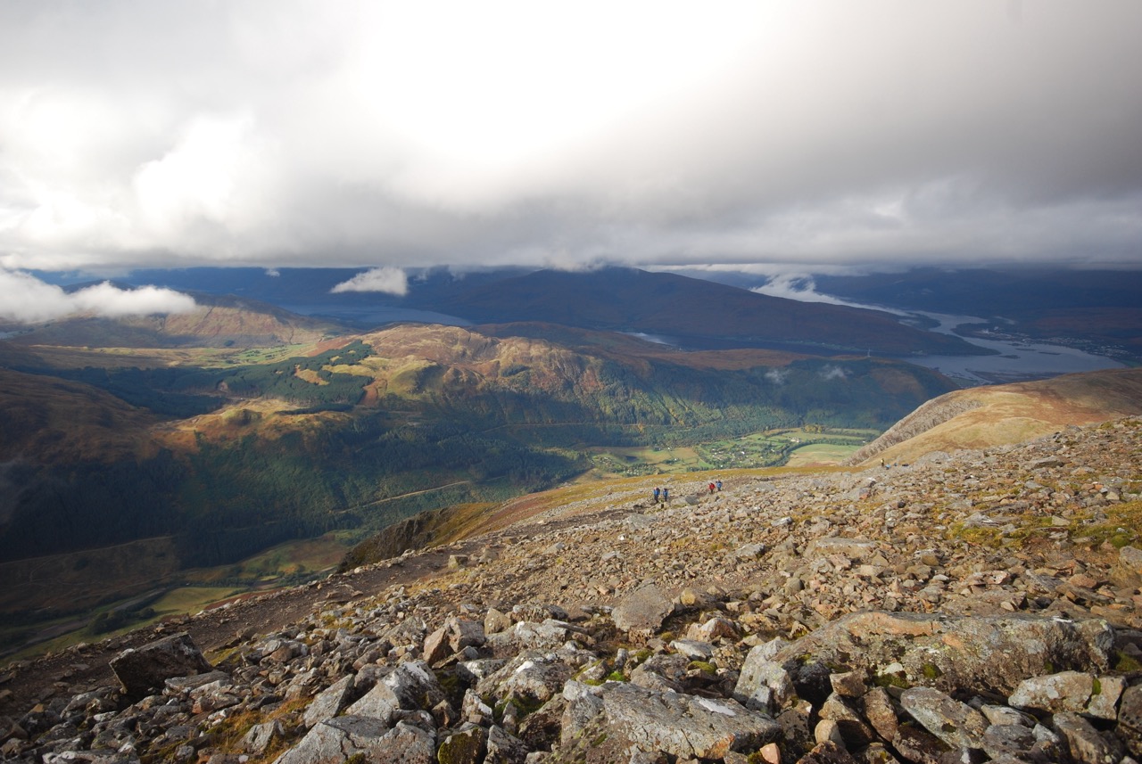
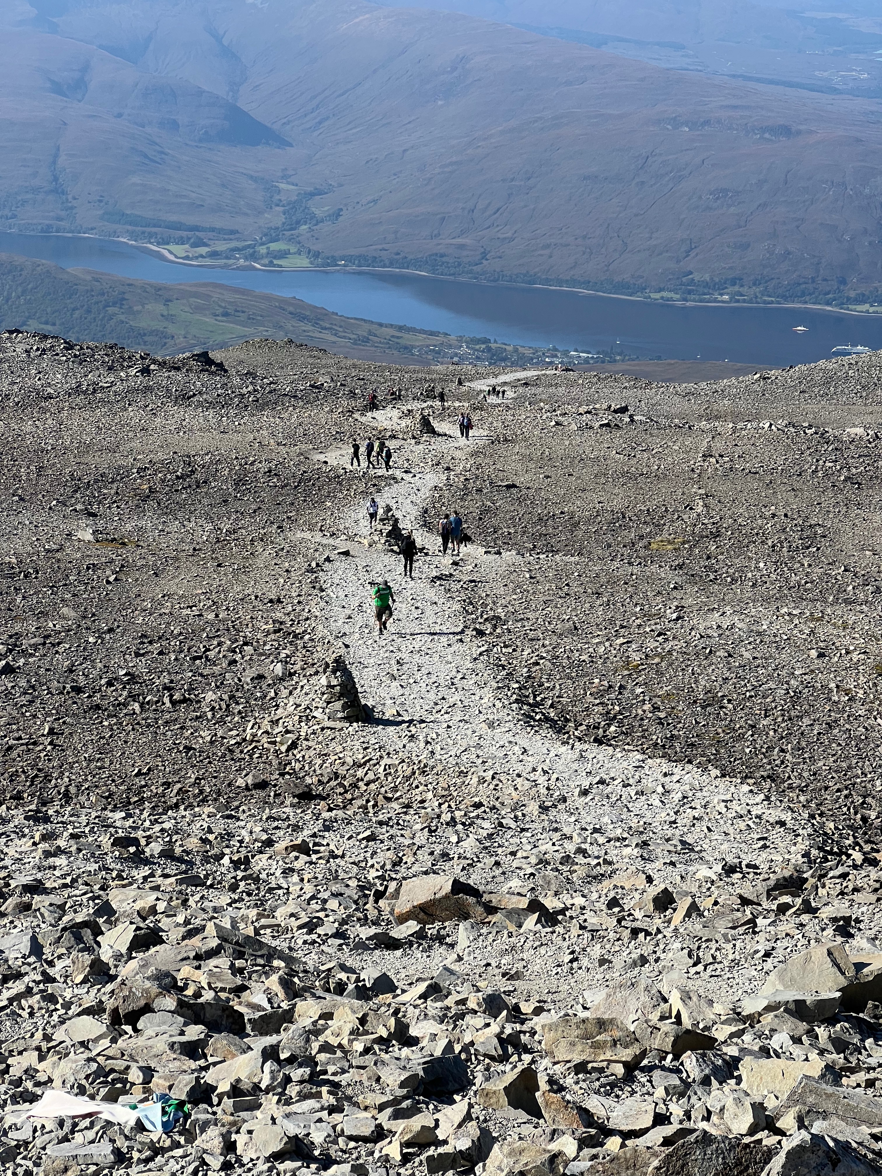
The route soon begins its long and final climb before eventually flattening at around 3800ft (1158m) over loose scree, and the summit will finally begin to appear. Watch out for stone cairns and markers on your way to the top.
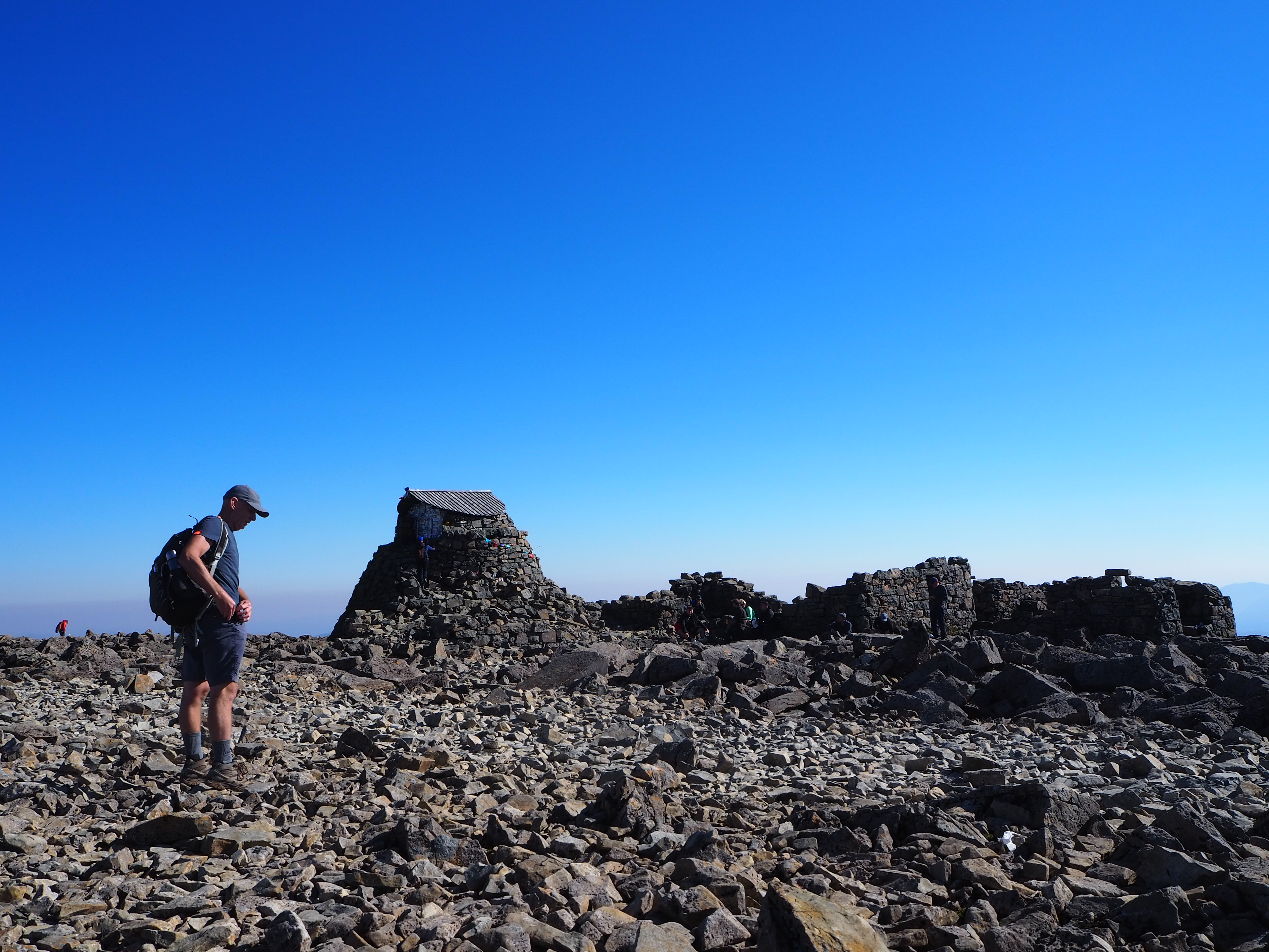
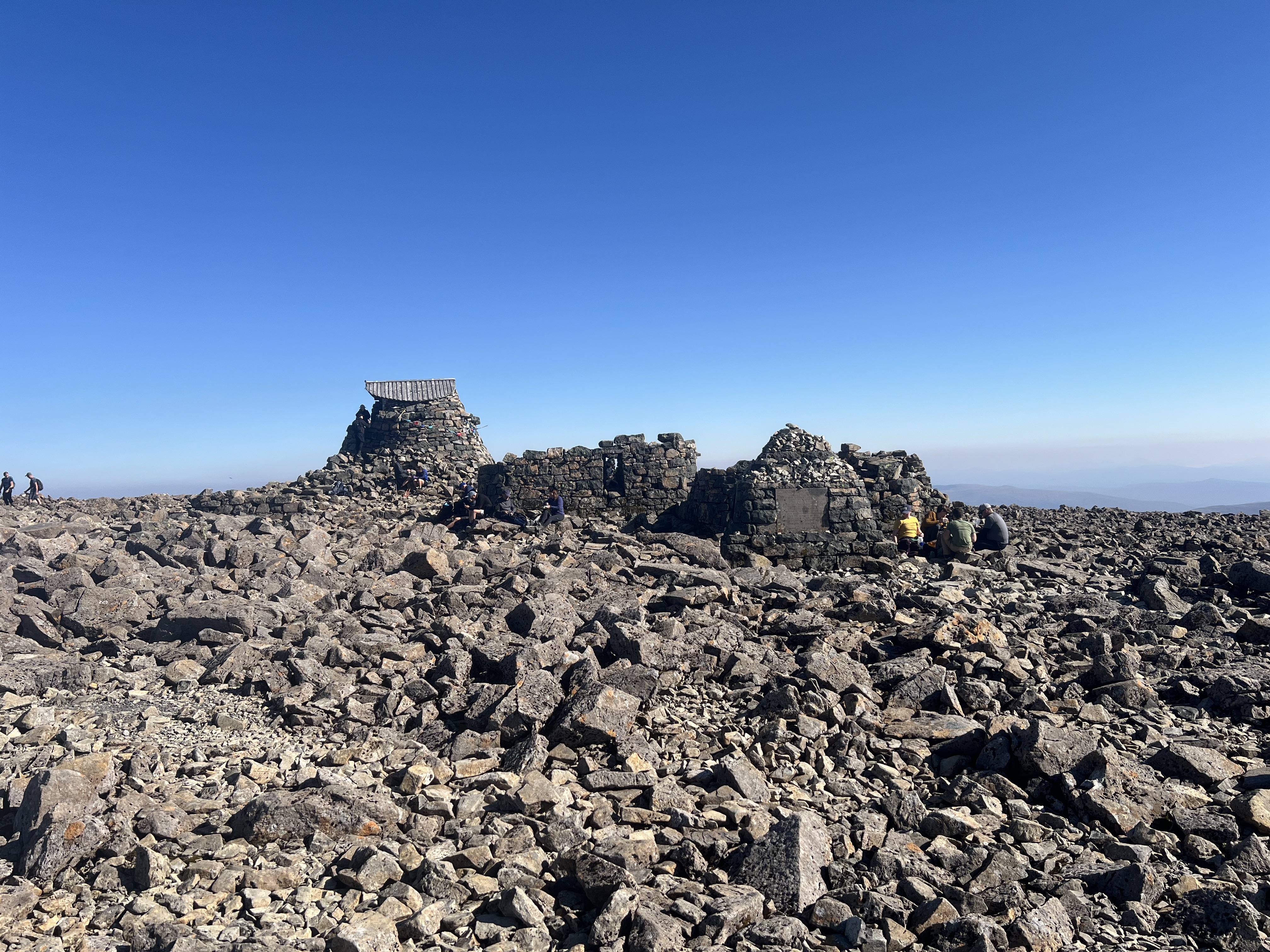
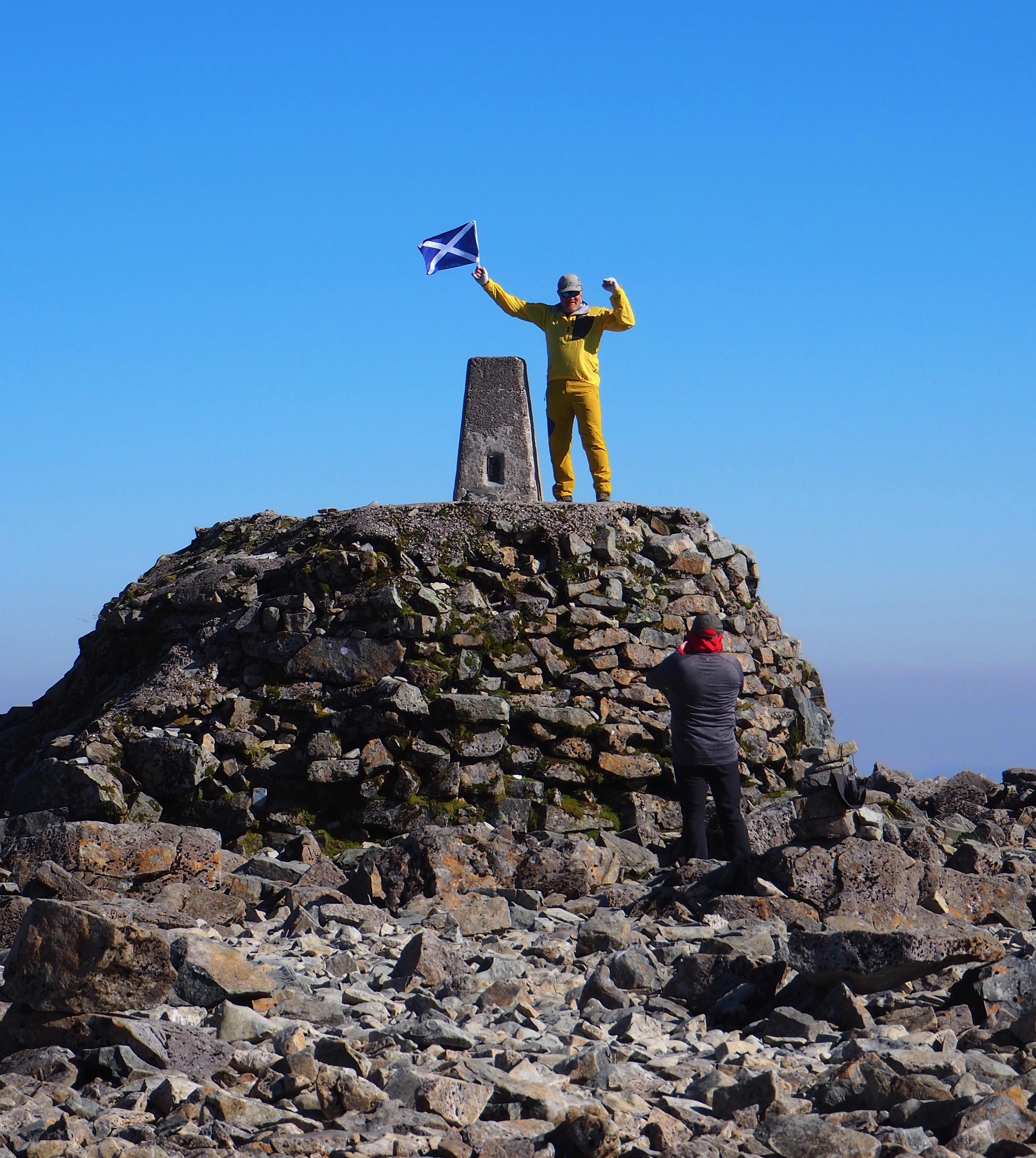
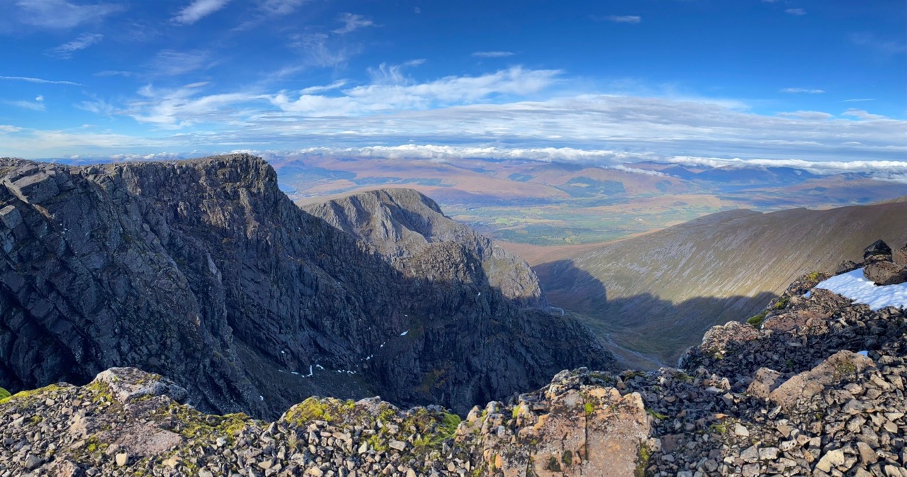
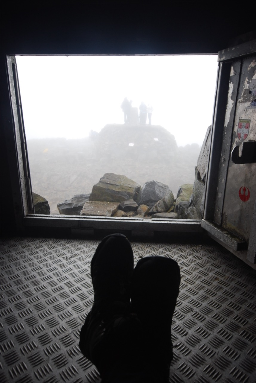
There is no mistaking the summit though. There is a trig point and a tiny emergency shelter on top which I was once very grateful of during a wild Autumn snow storm. It's an exhilarating place to be. Enjoy your time here as the highest person in Great Britain!
My tip before you start - is to study your route to the summit. This is the same route you must return down. A safety tip at the summit cairn, would be to take a compass reading (take a bearing of 231degrees and walk for 150m and then you should meet the path). Please note that there are huge vertical drops on the north side. In bad weather it’s very easy to lose your bearings on top of Britain's highest mountain. In winter there can be large snow overhangs on the northern edges which can be difficult to detect. There will be snow in the North facing gullies all year round.
I have climbed Ben Nevis on four occasions. My first attempt was with my youngest son Nicholas, the wind speed was so incredible at the halfway point, that we ‘abandoned ship’ and retreated to Fort William. It was just simply too dangerous. The weather calmed and we did the summit a few days later. My next trip to the top was with my eldest son, Jules - the weather was so awful that we compared it to "standing in a power shower". We both laughed (as is our way) and ate our soggy sandwiches!
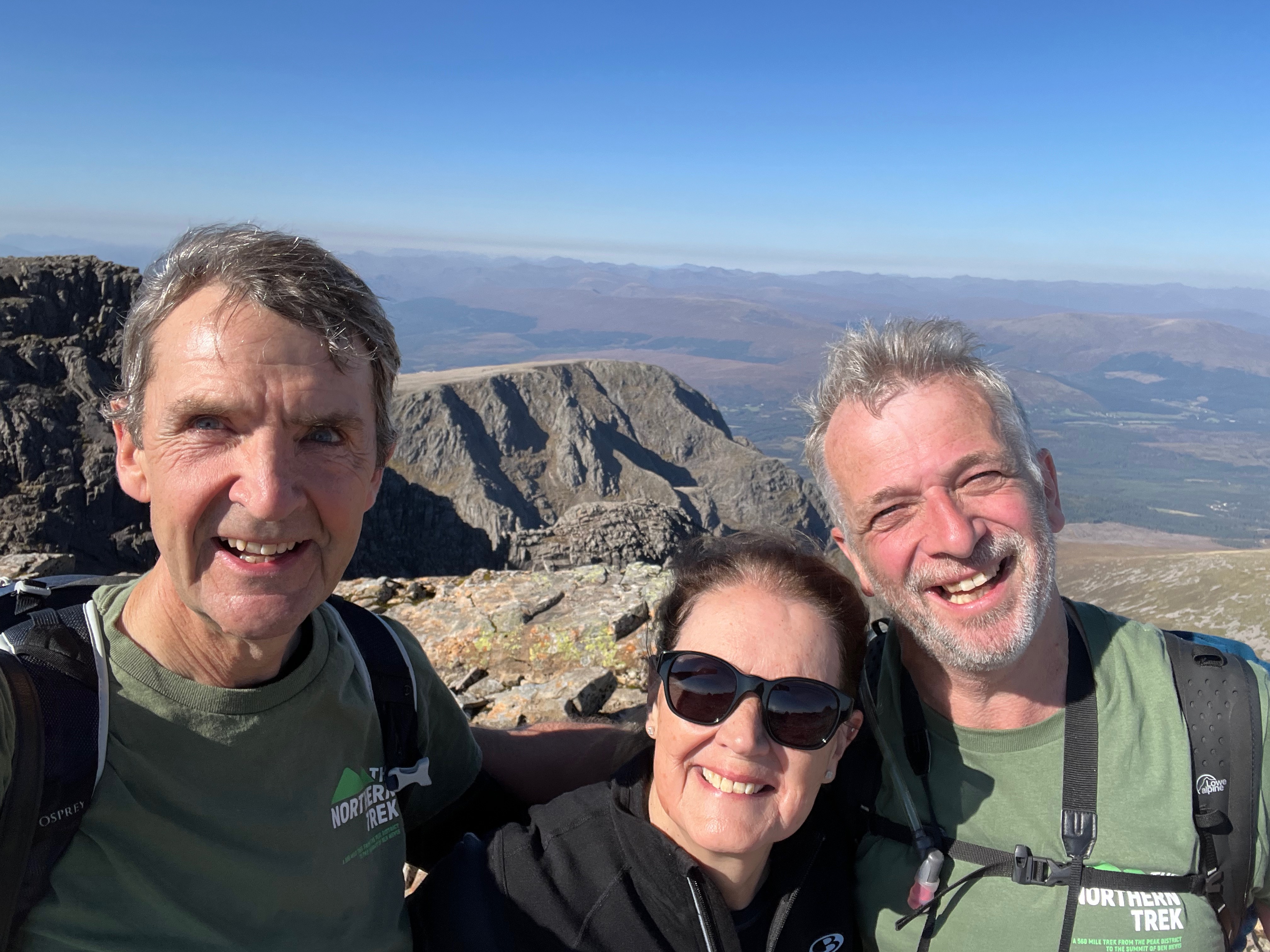
On my last trip, with my wife in September 2024 the weather was awesome, clear blue skies and no wind. Truly amazing. With fantastic views of all the surrounding peaks and over the tops to the Isle of Skye.
On our return to the car, we met a chap who had been out fell running - and he was phoning his wife to say he was safely back at base. We started to chat with him. Both of us were stunned to find out that he had actually run up and down Ben Nevis three times already that day. It was still only lunchtime. He was in training for a World Mountain Ultra, a few weeks later.
'Think big, and then think bigger' I smiled and thought to myself.
When the walk is nearing its end - give yourself a moment to reflect back over your wonderful journey. Those incredible memories you have made and the people you have met on The Northern Trek.
Now go to The Ben Nevis Inn and have a very large, well-earned double Scotch. The Ben Nevis whisky has to be your chosen beverage. Have some great food and enjoy the fun and laughter which always characterises this most wonderful of pubs.
I think it may be my favourite place.
Stunning view from the top of Conic Hill overlooking Loch Lomond
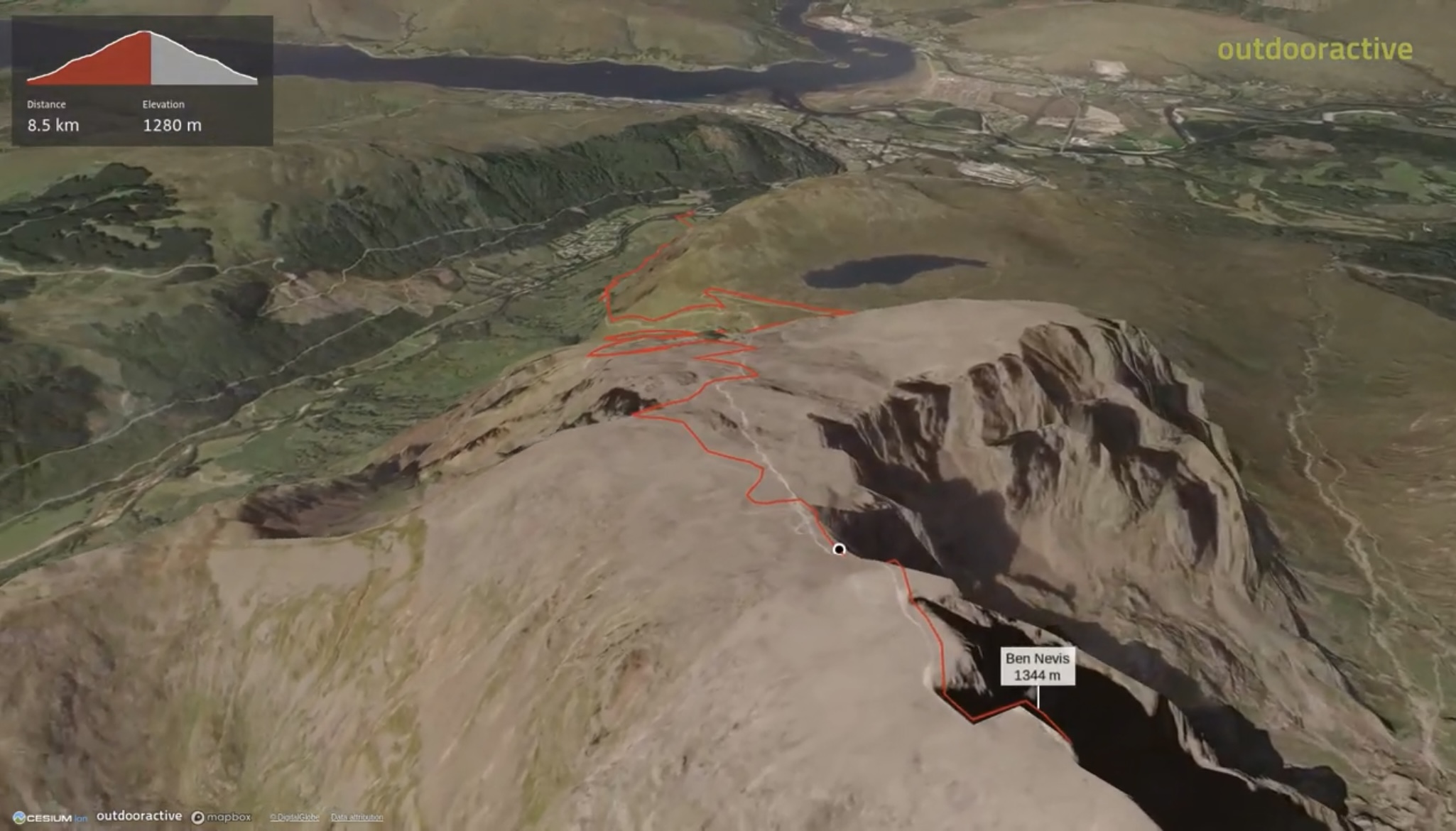
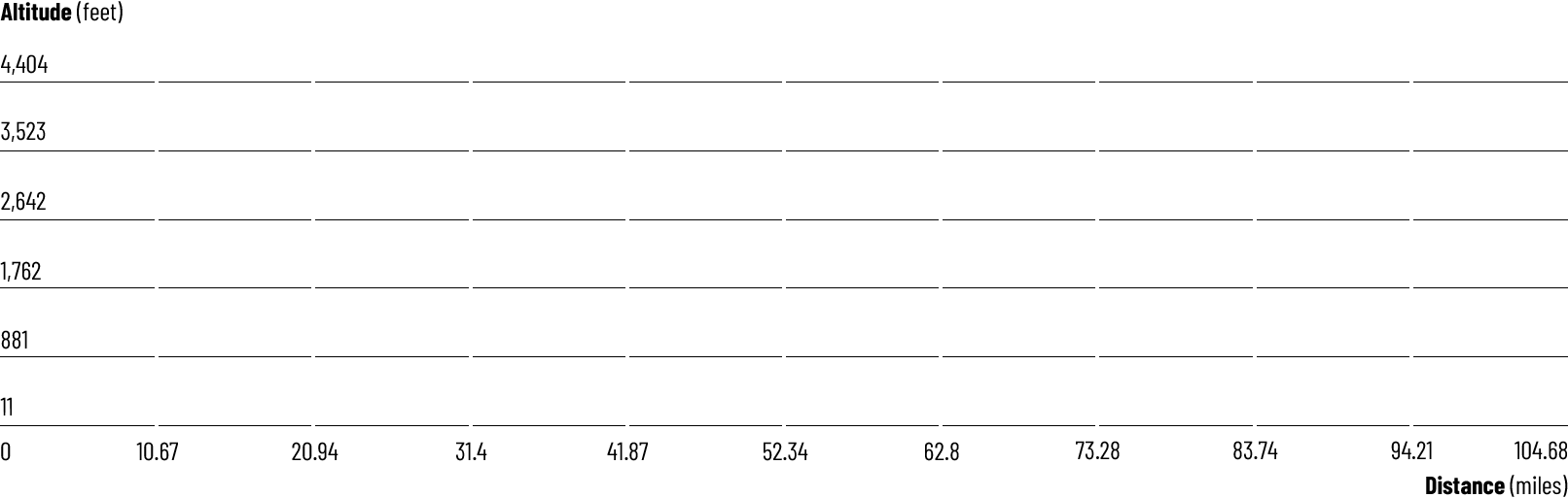
95 mile 'fly through' the stunning West Highland Way. From Milngavie to Fort William
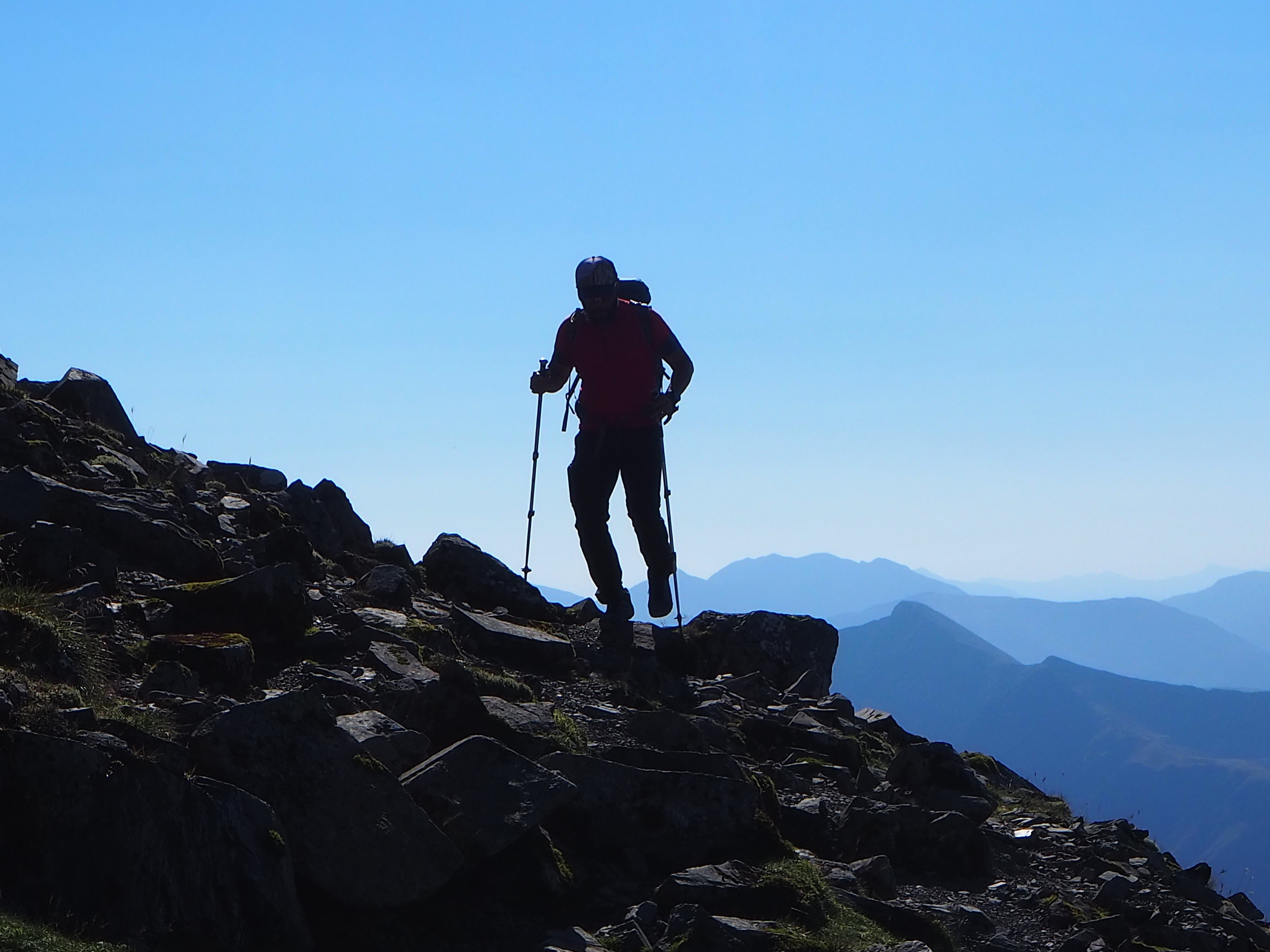
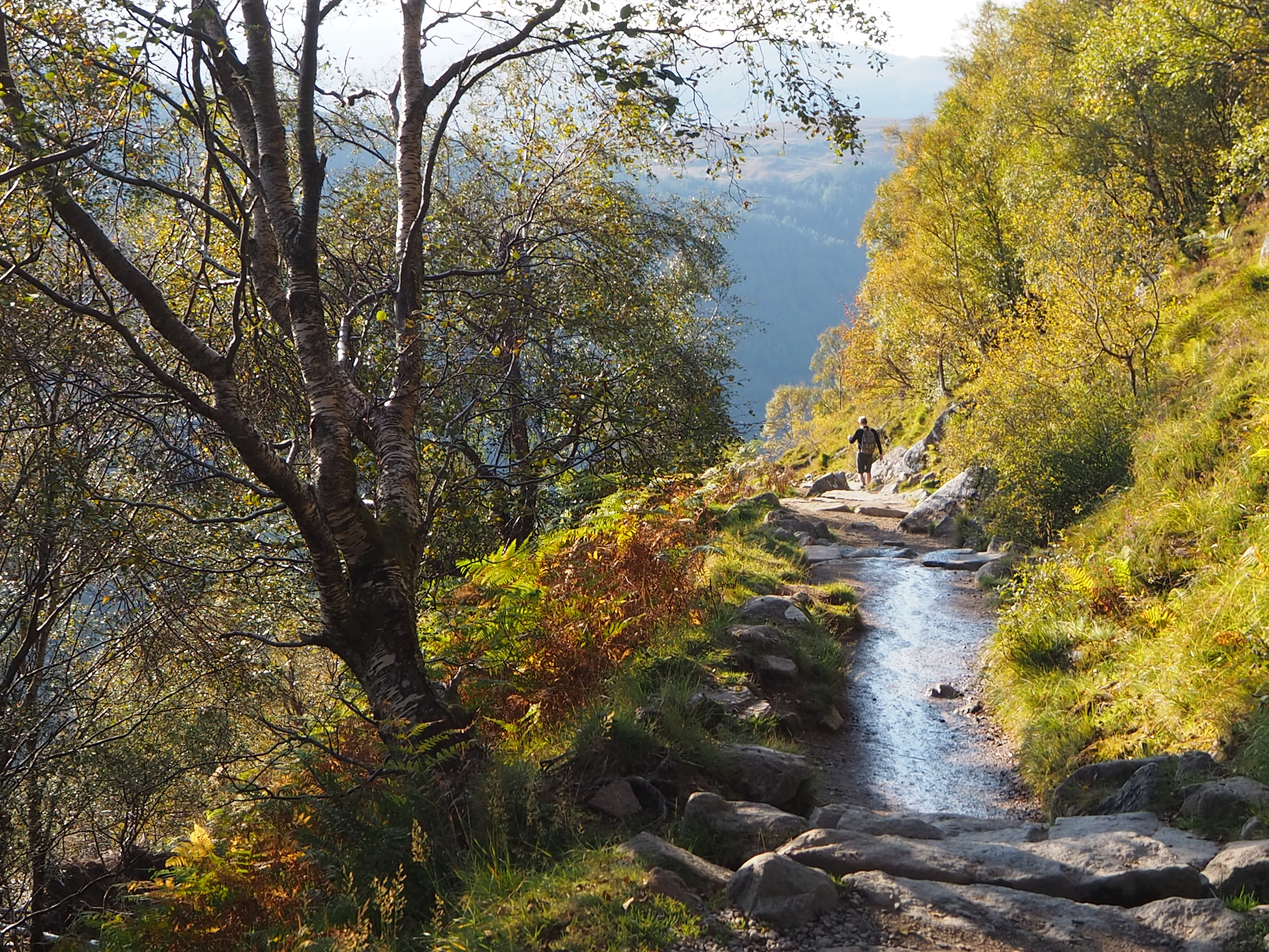
After climbing the 'Devil's Staircase' the views are some of the best on the West Highland Way. Jules is happy :)
Three Days from the end of the trek
Reaching the Summit
Section 7 - The Crown. A video 'fly through' of the climb to the summit of Ben Nevis
OS Explorer: 348, OL38, OL39, 377,384
Ben Nevis: OS Explorer 392
6-8 Days
Downloadable route files in .gpx format for use on your GPS device or to use in your digital mapping software
 Milngavie To Fort William